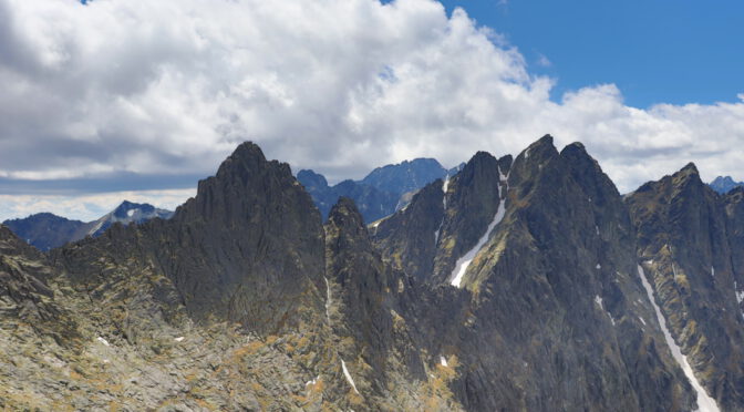
Javorová dolina (“Maple valley”) is an elongated valley in the north-eastern part of the High Tatras mountain range in Slovakia.
The general visitor can access the valley during the summer season, lasting from June 15 to October 31. In winter higher altitude areas in the Tatranský národný park (TANAP) must not be entered by tourists.
A demanding mountain tour I will depict in the following is crossing Javorová dolina, traverse the Sedlo sedielko mountain pass (2376 meters), descend to the Téryho chata (2015 meters), walk through Malá studená dolina (“Small cold valley”) and finish the tour in Starý Smokovec (1010 meters).
Javorová dolina, June 15
Though actually being one of the more remote settlements in the High Tatras, the starting point Tatranská Javorina (1000 meters) is not difficult to reach by public transport. A bus from Poprad-Tatry or Tatranská Lomnica drives at least hourly every morning and the fare is moderate (about three Euros at time of writing).
The trailhead has a green marking and lies next to the bus stop.

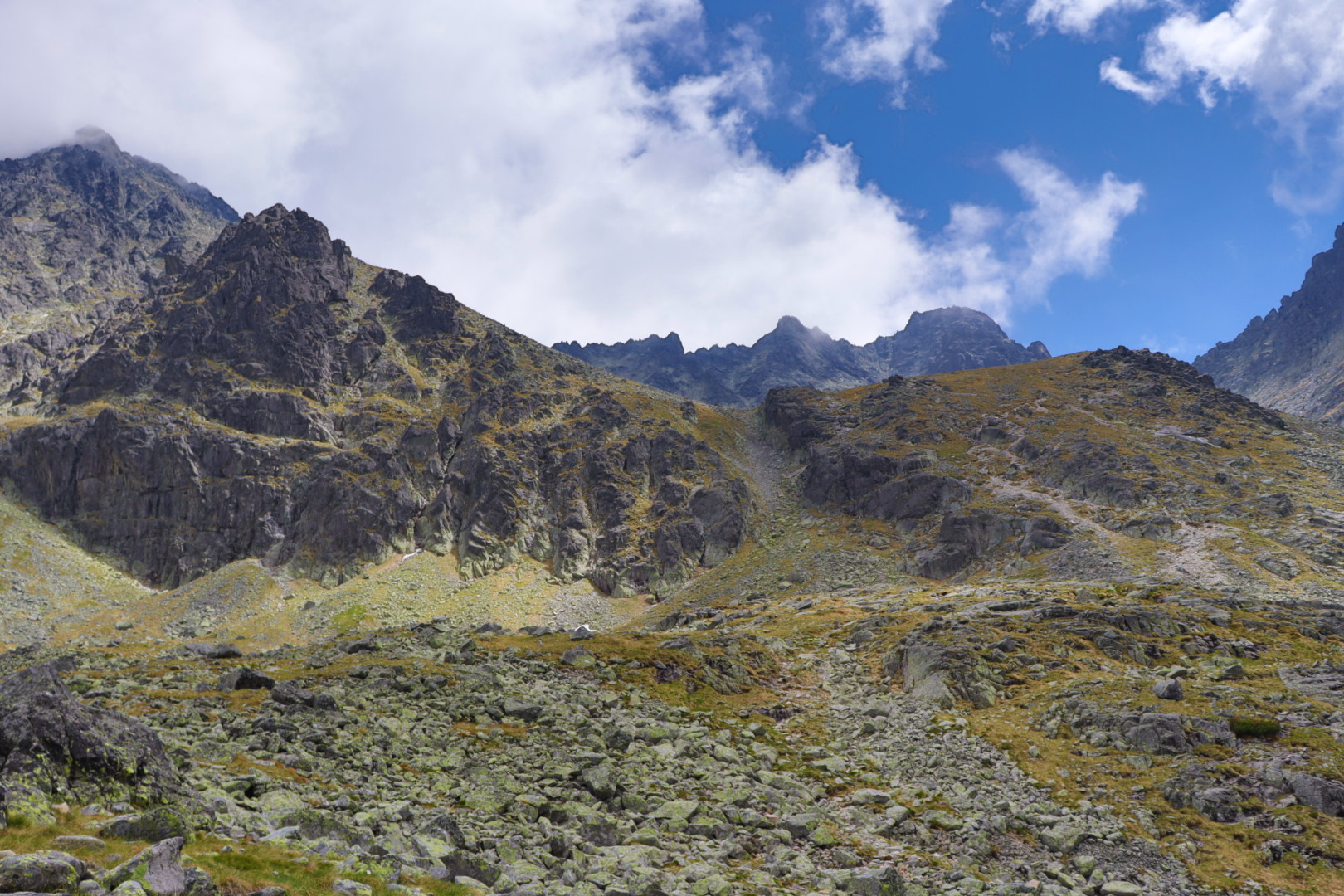
The tour’s first three hours are rather unspectacular from a mere mountaineering perspective. Of course the nature that unfolds in front of one’s eyes with the Belianske Tatry and the river Javorinka on the hiker’s left is an absolute delight.
When this first part is done, the appearance of the valley changes quite abruptly to a more or less bleak, mossy and steep terrain in Zadná Javorová dolina (“Rear Maple valley” would be a proper translation I think), with high mountains towering up menacingly in every direction.
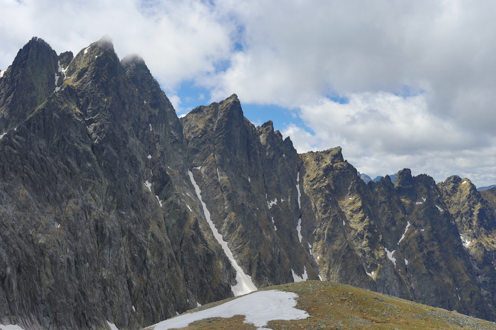
There was this delicate question lingering: where will be first encounters with larger snowfields, not at all an unlikely occurrence in the High Tatras in early summer.
I learned the situation at least and for certain as I reached the highest point at 2376 meters, after I had passed easily the handful of smaller snow piles that obstructed the way up to the actual mountain saddle.
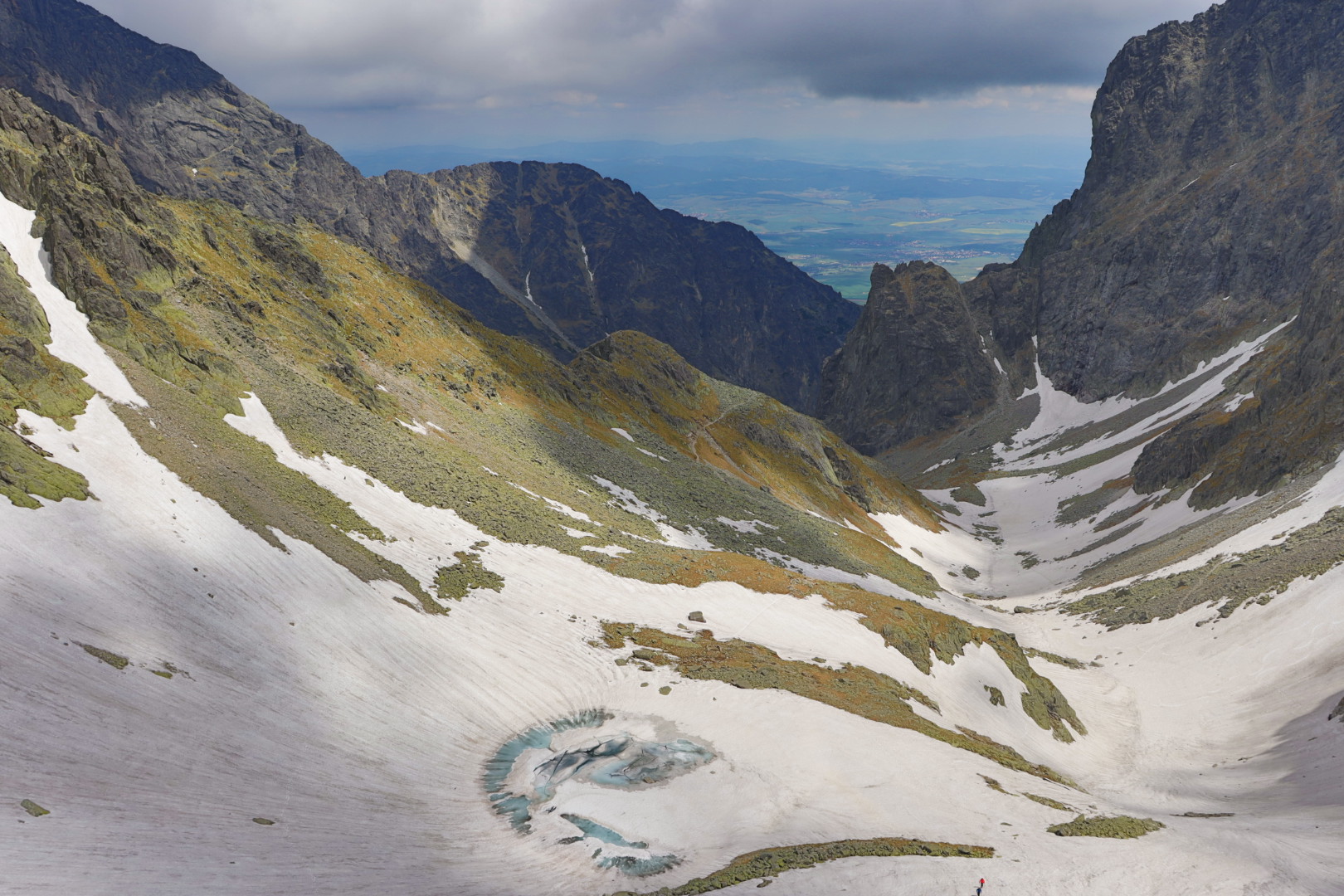
The eastern slope was covered with a thick, wet and ominously looking white mass all the way down to Modré pleso (“Blue mountain lake” or “Blue tarn”; I am glad you asked, but a tarn is a mountain lake formed in a cirque) on 2189 meters.
Turning back and retracing my steps to Tatranská Javorina was not really a viable option, so I had to fetch my ice axe and climb down in a “free solo” style the first hundred-odd meters, lack of experience hence poor technique made this a very exhausting endeavour.
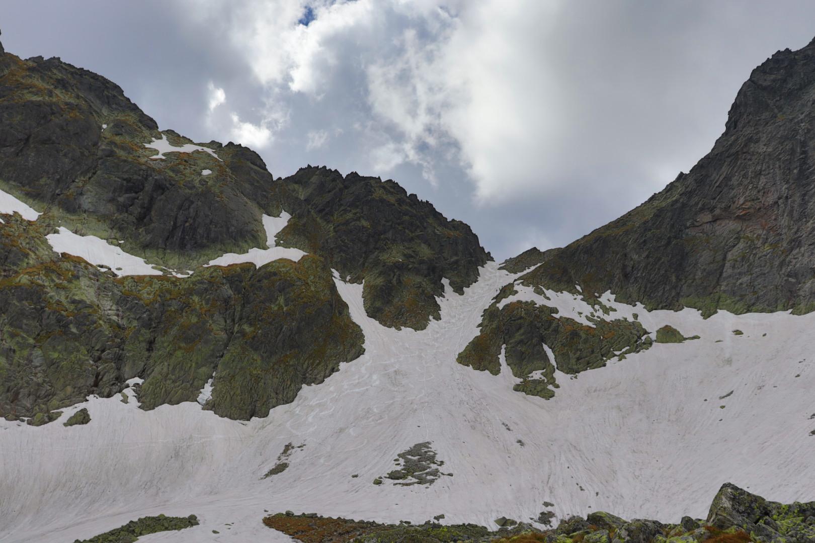
After this, I was able to push forward in a more quickly manner for the slope flattened out a little, but I needed one and a half hours to cover the distance between Sedlo sedielko and the Téryho chata (what usually ought to take less than half the time).
Descending from the Téryho chata to Starý Smokovec is something supposed to be easy. In fact, as this section is open all year round, I did not have to deal with any suspicious snow fields and could relax and enjoy the nature in the Malá studená dolina.
An alternative hike from Tatranská Javorina, in case of foul weather in particular, is a blue marked trail through the valley Zapadné Meďodoly along the foothills of the Belianske Tatry.
On Sedlo sedielko it is also possible to make a visit to Malý Ľadový štít (2602 meters), what is, at least in summer, not difficult an ascent and a nice add-on including some short climbing sections.
Featured image: Hrebeň Javorových veží (“Ridge of Maple Towers”)