Table of contents
Introduction
Malý Pyšný štít, August 24
Photo gallery
Summary
Footnotes
Introduction
Pyšný štít is the fourth highest mountain in the High Tatras, and one of only four peaks in the Carpathians exceeding the 2600 meters mark1.
Despite this, few people bother to climb around here, and that is for a number of reasons.
There is no tourist trail leading up, so you have to either be a genuine rock climber with Alpine club membership, or be in company of a certified mountain guide, otherwise there is a risk of being fined by the national park authorities (see TANAP website)2.
There are the obvious challenges regarding orientation and finding a safe way through the rocky landscape, since nothing is marked and electronic devices cannot replace basic orientation skills (more of this later).
The close-by lying Lomnický štít is slightly higher and usually preferred for climbing. Related to that, aside from the mountain being tall and comparatively difficult, there is not really one distinctive feature that makes it stand out in comparison.
However, I like solo tours in relative seclusion in places I had not been before, therefore the decision to climb Pyšný štít kind of suggested itself, especially in the month of August when peaks and touristic trails in the High Tatras can be expected to be crowded.
Malý Pyšný štít, August 24
I’ve never had a good sense of orientation, what led to quite a few frustrating past experiences in the outdoors.
This day in late summer in the High Tatra mountains was not much different in this regard, unfortunately, though I was at least able to reach a subsidiary peak of Pyšný štít, and made it safe back down, the of course most important thing.
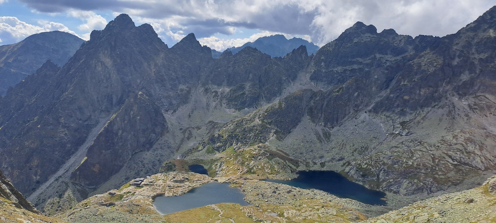
But first things first. My actual starting point had been Starý Smokovec at 1000 meters. I had left the green marked trail at Téryho chata (2015 meters), exploited the last opportunity to fill my water can at the Pät Spišských plies (“Five Spiš Tarns”), and entered Mačaci kotol (“Cat’s Cauldron”).
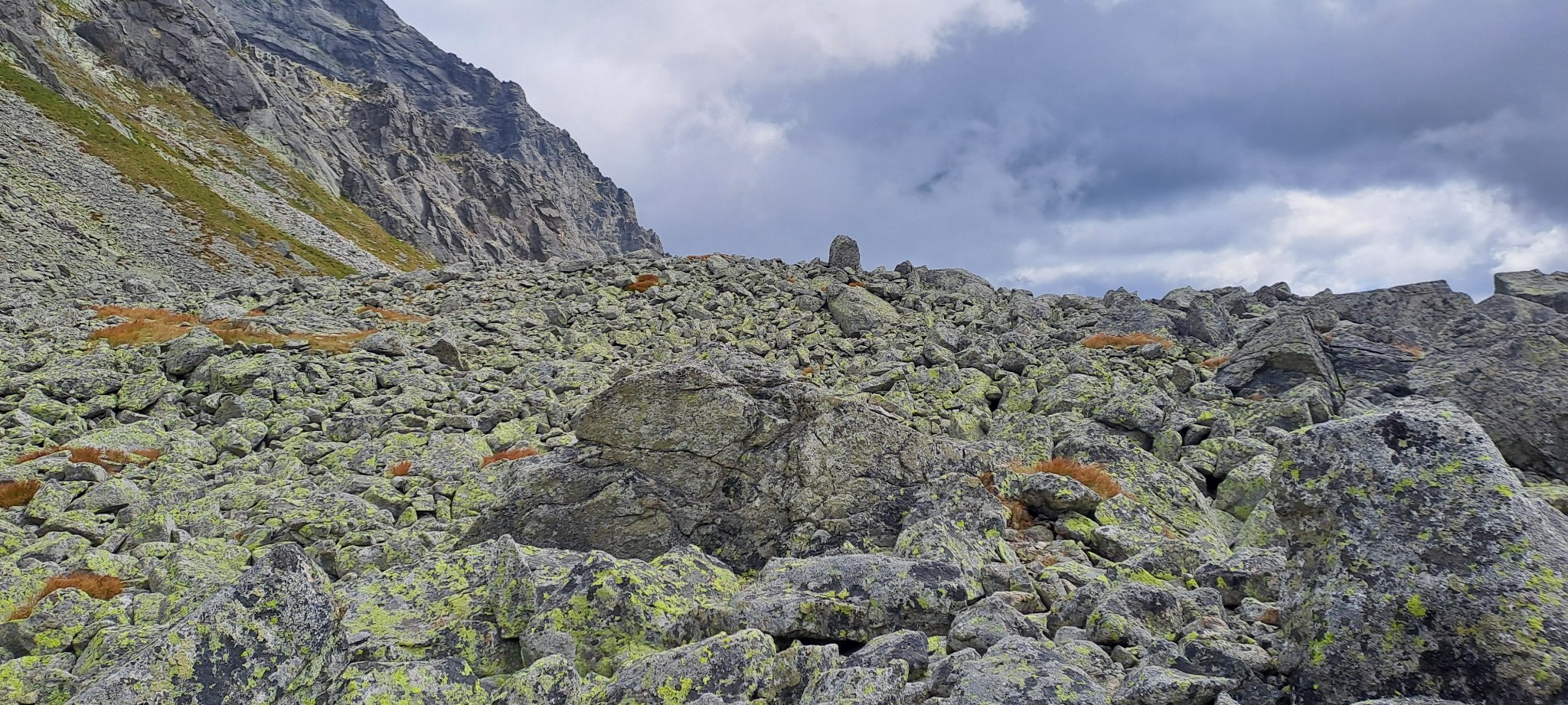
Hints for the direction I found in the occasional foot print in the mud, and someone was kind enough to build the occasional cairn.
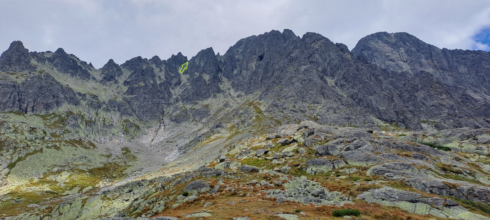
Upon encountering the first steeper sections it got more tricky, obviously, and I was not really sure about the infos I got from my app. As it later turned out however, they were pretty accurate and I did poorly in interpreting the landscape in front of me (again, electronic devices cannot replace basic orientation skills).
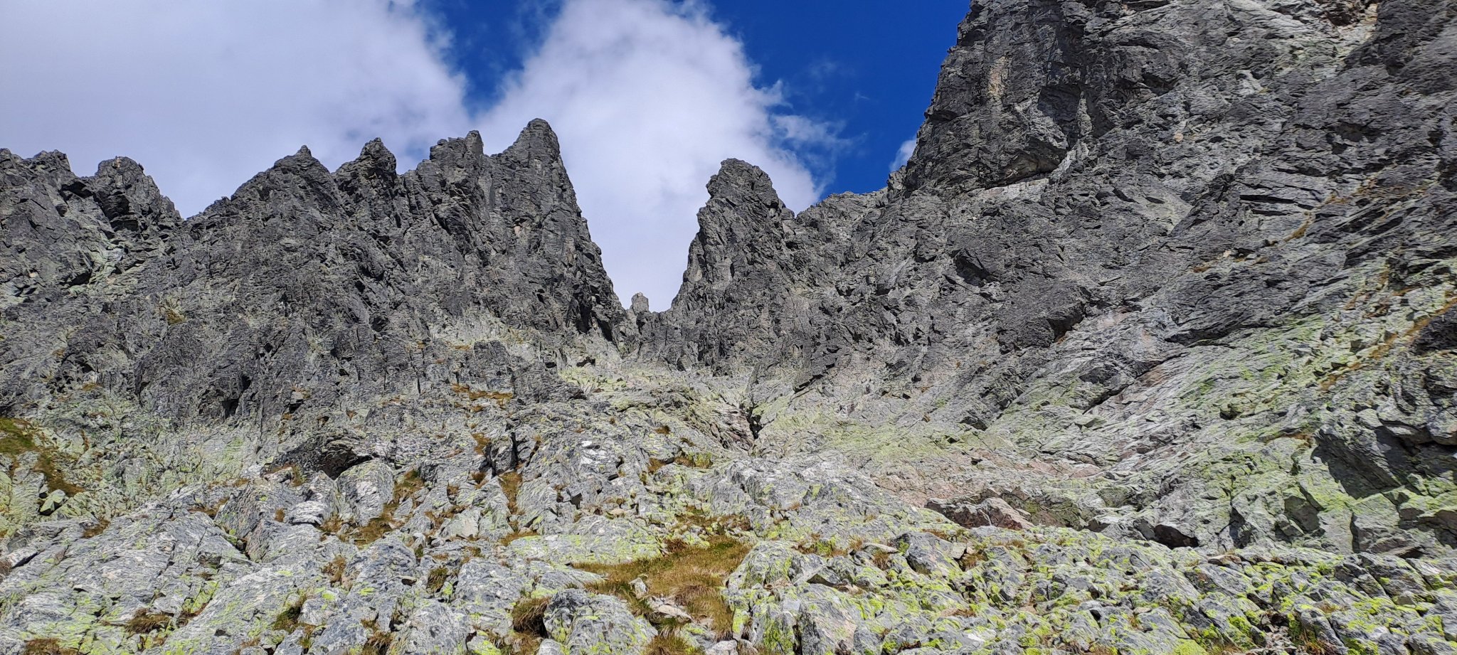
Instead of walking a loop via the western slope as described in available tour descriptions, I steered for the direct route to the summit. This was so evidently wrong that I still wonder how this could have happened.
In my defence I can tell you it was insidious since it looked like the genuine climbing part at first, a bit harder than it should be, but still doable.
I think I was just a few meters short of 2500 meters (!!) before I realized the mistake and descended in a quick manner back to 2200 meters in order to find the mapped trail/normal route (and I found it), yet this blunder wasted probably two hours of precious time that made the difference eventually.
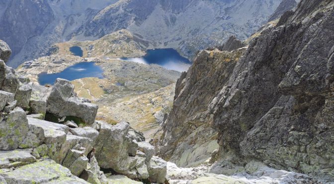
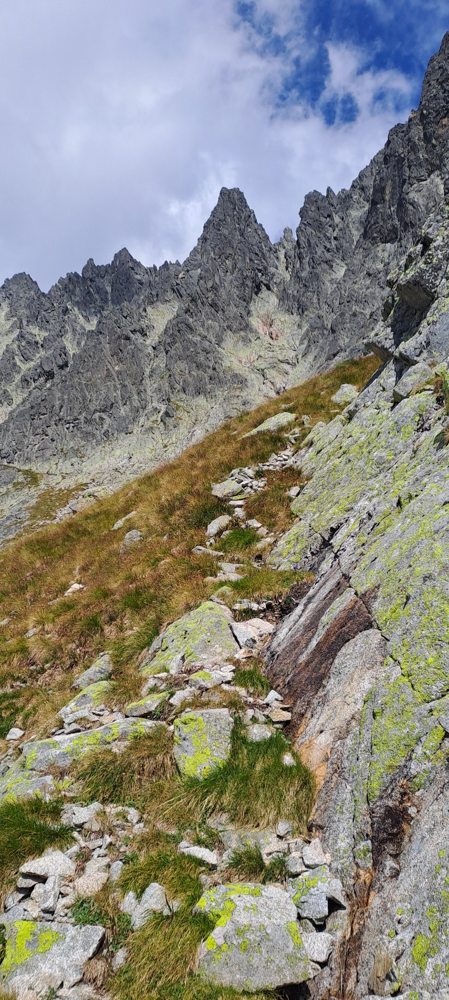
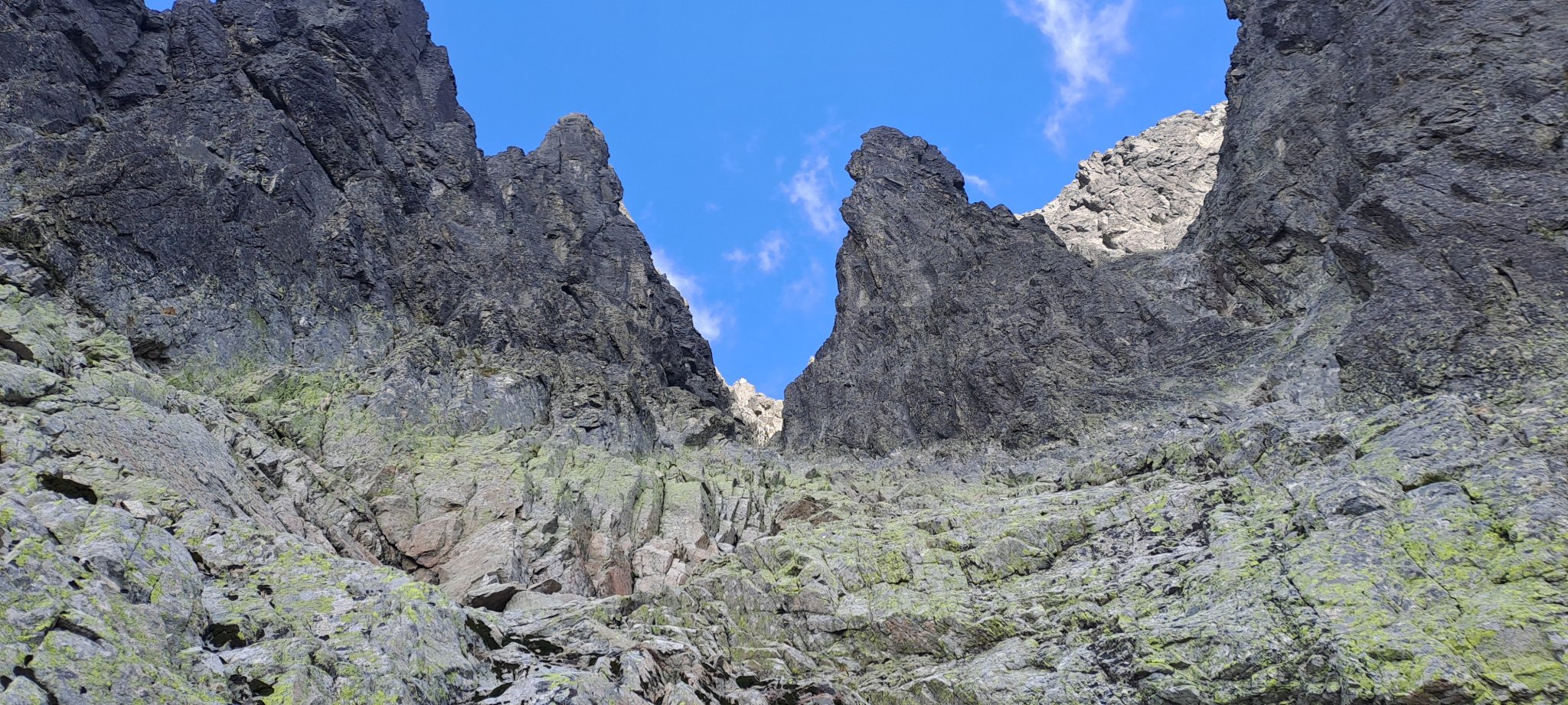
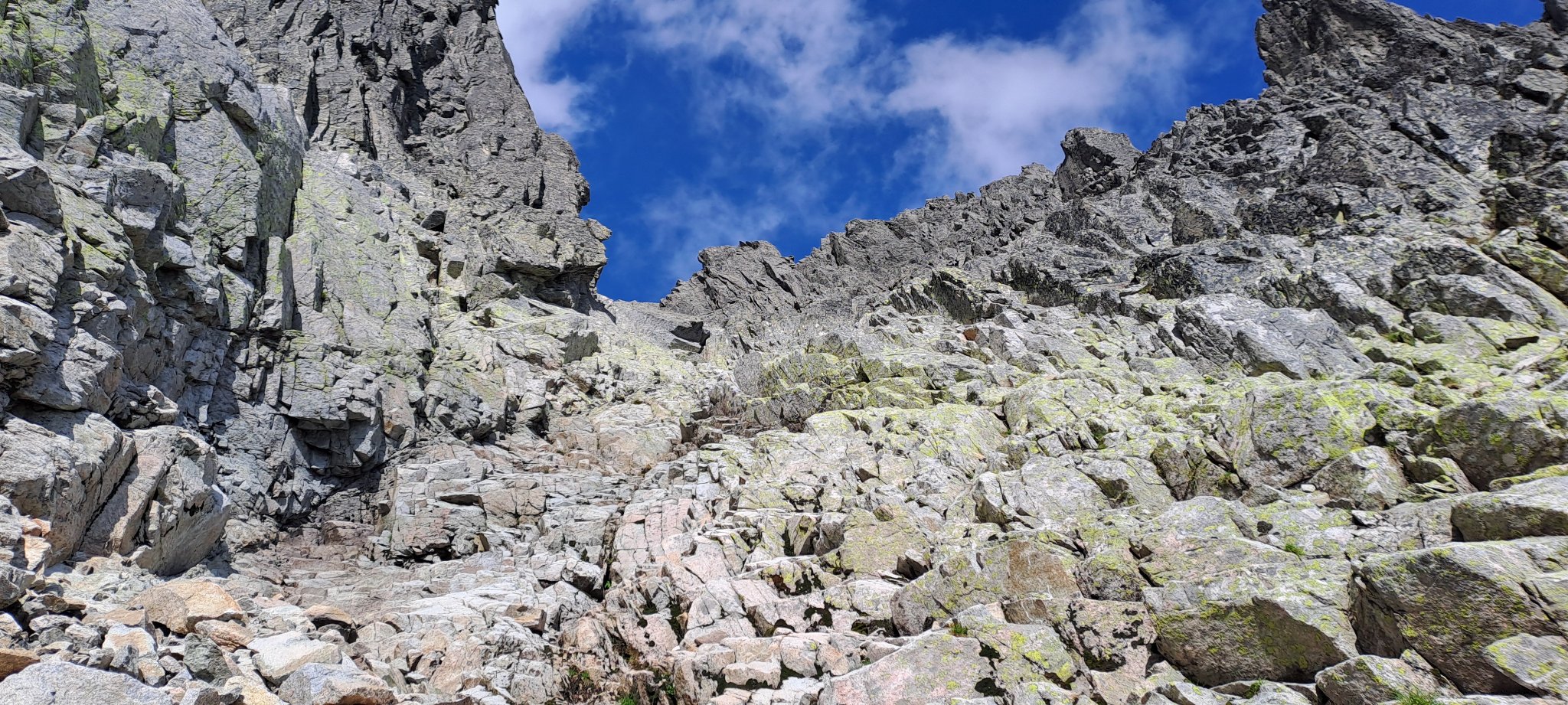
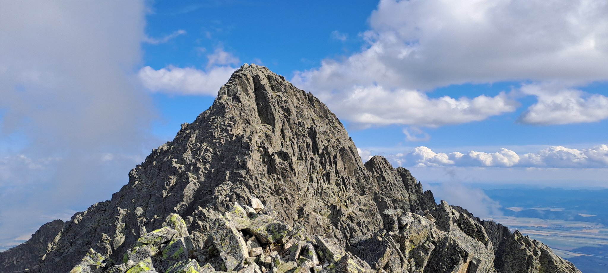
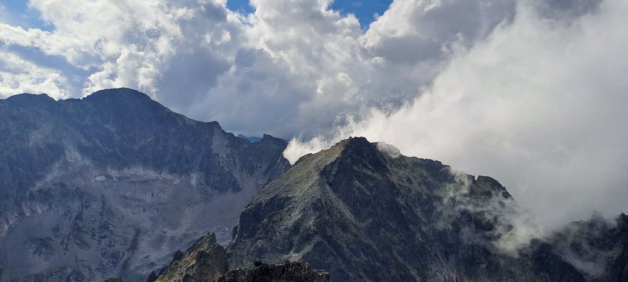
The normal route is kind of easy to do and not really worth writing much about it (the two photos I put into this blog post will give a good impression hopefully), but there is one section in particular where climbing and orientation skills are (again) tested, between a narrow gap in the granite walls at 2540 meters (see photo above) and Malý Pyšný štít at 2590 meters more specifically.
As I reached the subsidiary peak of Pyšný štít I noticed to my dismay it was already almost 5 p.m. Meanwhile I felt a nasty sore on my left foot, as well as first signs of more serious fatigue.
So climbing any further wasn’t really a viable option, and frankly I had the urge to get away from this place since it stopped to be enjoyable.
I descended back to Starý Smokovec and catched one of the last trains to Poprad, in the end not quite sure what to make of this experience.
Photo gallery
Summary
The appeal of Pyšný štít (and Malý Pyšný štít, respectively) is clearly its height, as mentioned you will only find a handful of mountains in the Carpathians being higher.
By High Tatra standards it is not a particularly difficult climb technically via the normal route, at least to Malý Pyšný štít (further I don’t know).
Your orientation skills will be put to some test, but finding the way is not much of a problem with sufficient visibility, experience, and perhaps the help of electronic devices.
A helmet must be a mandatory item on your list, as well as boots with good grip.
Footnotes
1 I usually prefer the Polish name for this mountain – Durny Szczyt – for it is slightly easier to spell; however, since the mountain is lying in its entirety in Slovakia, I am using the Slovak name throughout this blog-post
2 there are areas off-limits even for rock climbers, but Pyšný štít is not not part of this explicit list
Featured image: Close to Malý Pyšný štít on the normal route, view onto the Pät Spišských plies (“Five Spiš Tarns”)