Table of contents
Introduction
Ortler, July 29
Photo gallery
Summary and preparation
Introduction
Ortler is the highest peak in South Tyrol (3905 meters AMSL, i.e. Above Mean Sea Level), Italy, and a coveted goal among mountaineers.
My preparation had to be more thorough than for past tours in the mountains, and on that account, I want to get a little more into detail in this blog post than usual.
Ortler, July 29
— A (mostly) chronological report
11:30 a.m.
It was a deafeningly loud roar out of nowhere, and I did not know where it was coming from.
We had just finished the Ortler glacier on our descent as the very last people this day (as far as I could tell) and contemplated the remaining rock climbing sections ahead, as a stone avalanche was coming down fifteen meters to my left, ploughing across a part of the trail I would have been standing if I had been a little swifter in removing my crampons and stashing them into my backpack.
This avalanche was not only omitting me but also, luckily, a metal ladder leading the way up across the rock, a crucial piece for returning safely to the Payerhütte.
A quarter of a minute later my friends, who had heard the debris falling but were not able to see it, for their view was obscured by a pile of muddy ice as they were sitting down for a short rest some thirty meters behind, are staring aghast at the scenery.
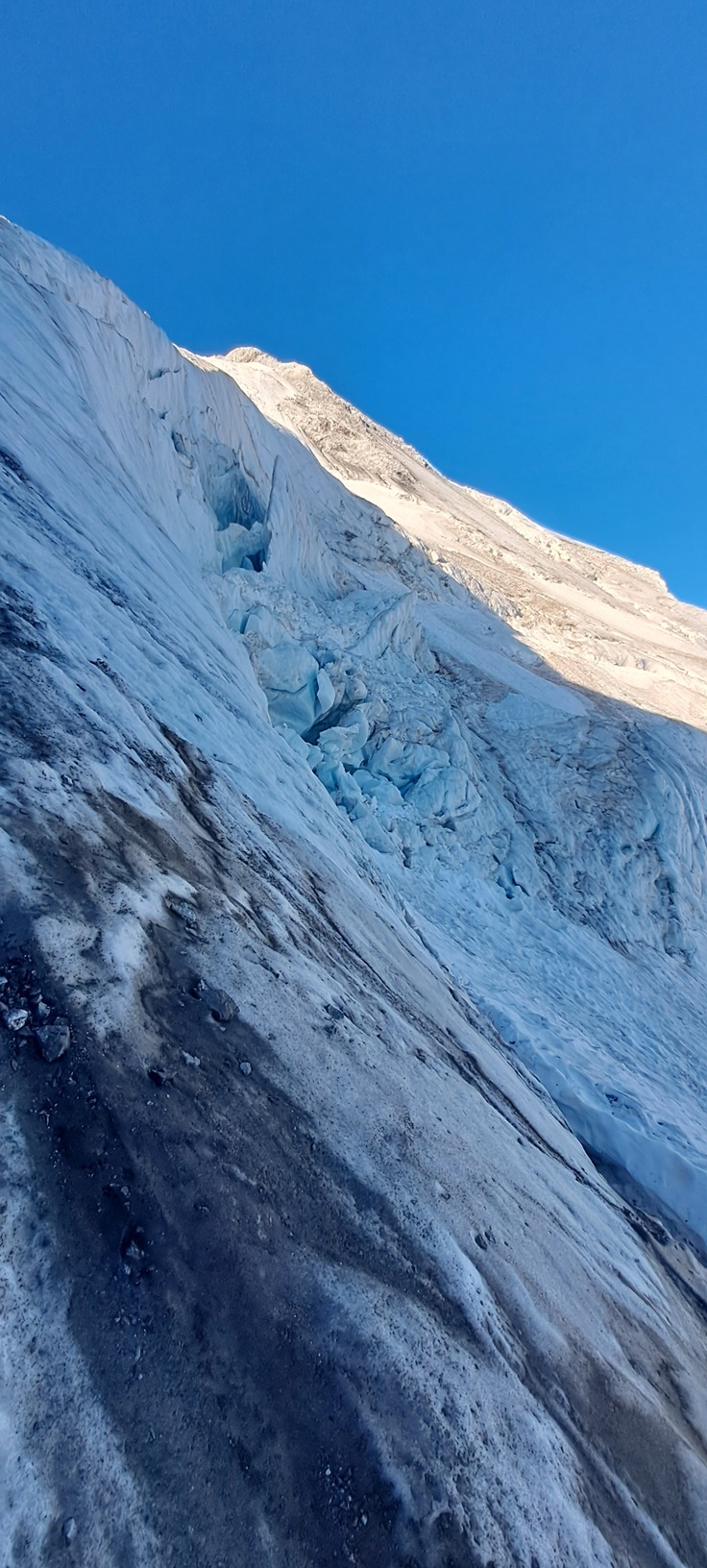
It was a close call, and a deadly reminder (if one was necessary) of how dangerous the glacier can be when the freezing cold of the morning has passed, when temperatures rise into the double digits, and the sun is doing her work on the mass of snow and ice.
My legs are shaking as I’m now scaling the ladder and balancing on the narrow metal steps in order to get away from this place in a quick manner, and I am not sure whether this is caused by my fatigue or by a brief burst of panic.
6:30 a.m.
We had been quite late in leaving the Payerhütte at some minutes before five a.m., everyone else was gone since half an hour.
We had switched on our headlamps, but dawn was already approaching, and upon reaching the more difficult climbing sections we could recognize the surroundings without artificial light.
The first part of these “more difficult sections” consisted of a roughly ninety degree precipice, mostly defused however by a long metal chain all the way up in which you could clip in, so I was able to conquer it rather elegantly without delay.
Despite posing as a speed climber, the others were soon catching up, and we gathered at the last chain anchor. We could see now an exposed ridge in front of us, the apparent UIAA III obstacle we had read about in tour descriptions the previous day.
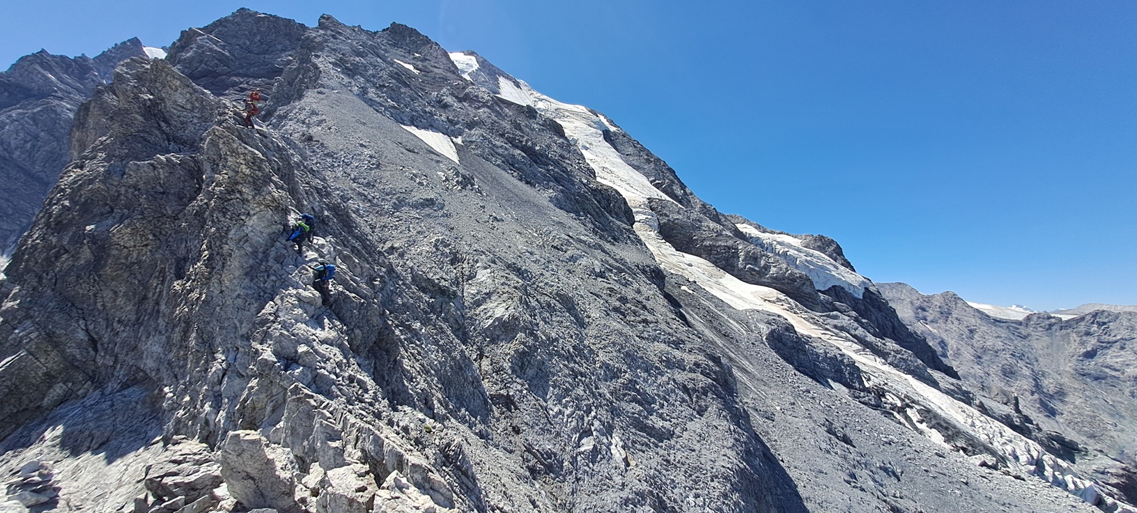
Climbing up is always easier than climbing down, so we had to afford mere minutes to navigate this most distinctive non-snowy feature of the Normalweg since we did not need our rope, nevertheless it was obvious abseiling a great deal will be the slower but safer option on our return leg.
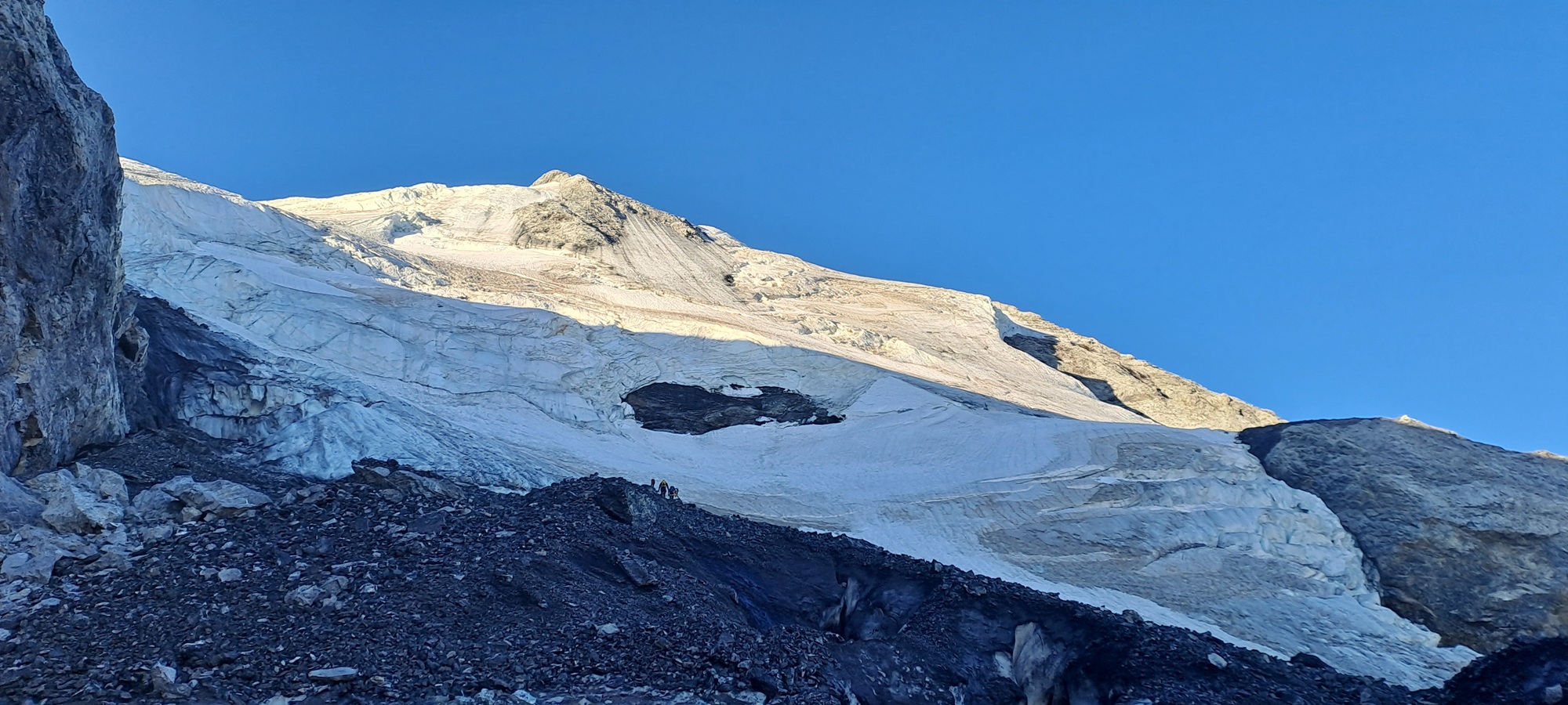
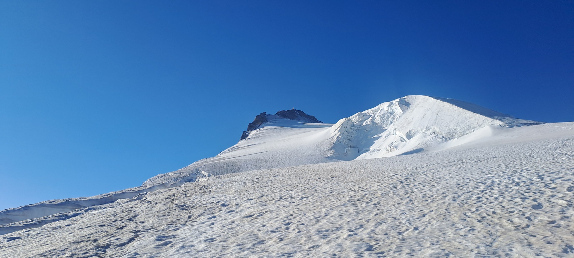
Now, after one and a half hours of climbing, scrambling, and finally descending a shaky ladder, the glacier is showing its dingy fringes. About a dozen people are already silently gearing up with crampons and ice axes, a determined yet slightly anxious expression on their faces.
I do not look a lot different, I guess, while I am taking a side glance at my new friends, a couple I met just a few hours ago in the Payerhütte. They are now the better part of my ad-hoc rope-team for traversing the vast Ortlerferner, said glacier separating us from the peak at 3905 meters.
So far everything had been predictable and as we had anticipated, now we are about to set off into a challenge of a different nature.
8:00 a.m.
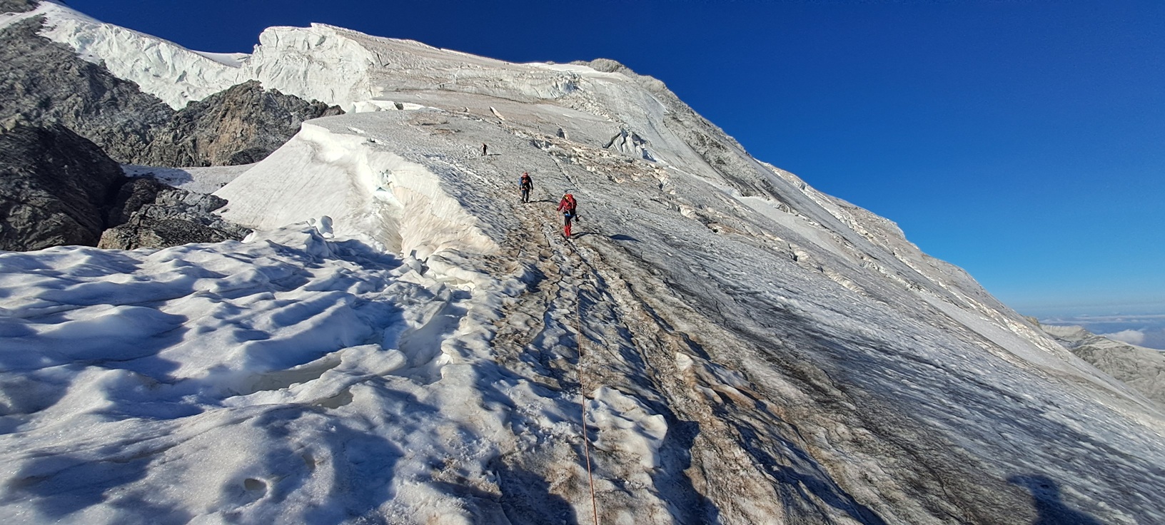
The trickiest section had been mastered at this point, an icy slope in an about fourty-five degrees angle.
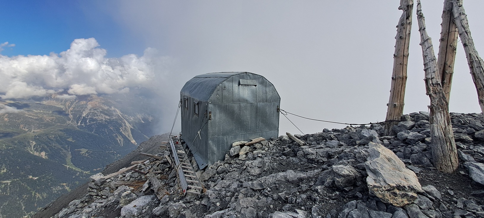
As the slope began to flatten at threethousandthreehundred-odd meters we were at a similar altitude as the Ortlerbiwak (3316 meters), yet we did not have any time to spare to check it out (I did take a look during the descent out of curiosity, see photo gallery) but proceeded towards the more benign part of the glacier.
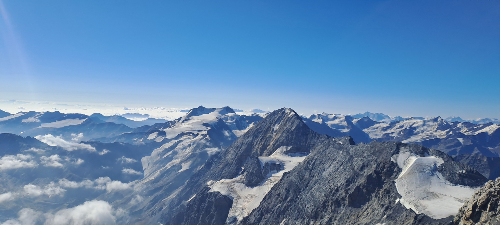
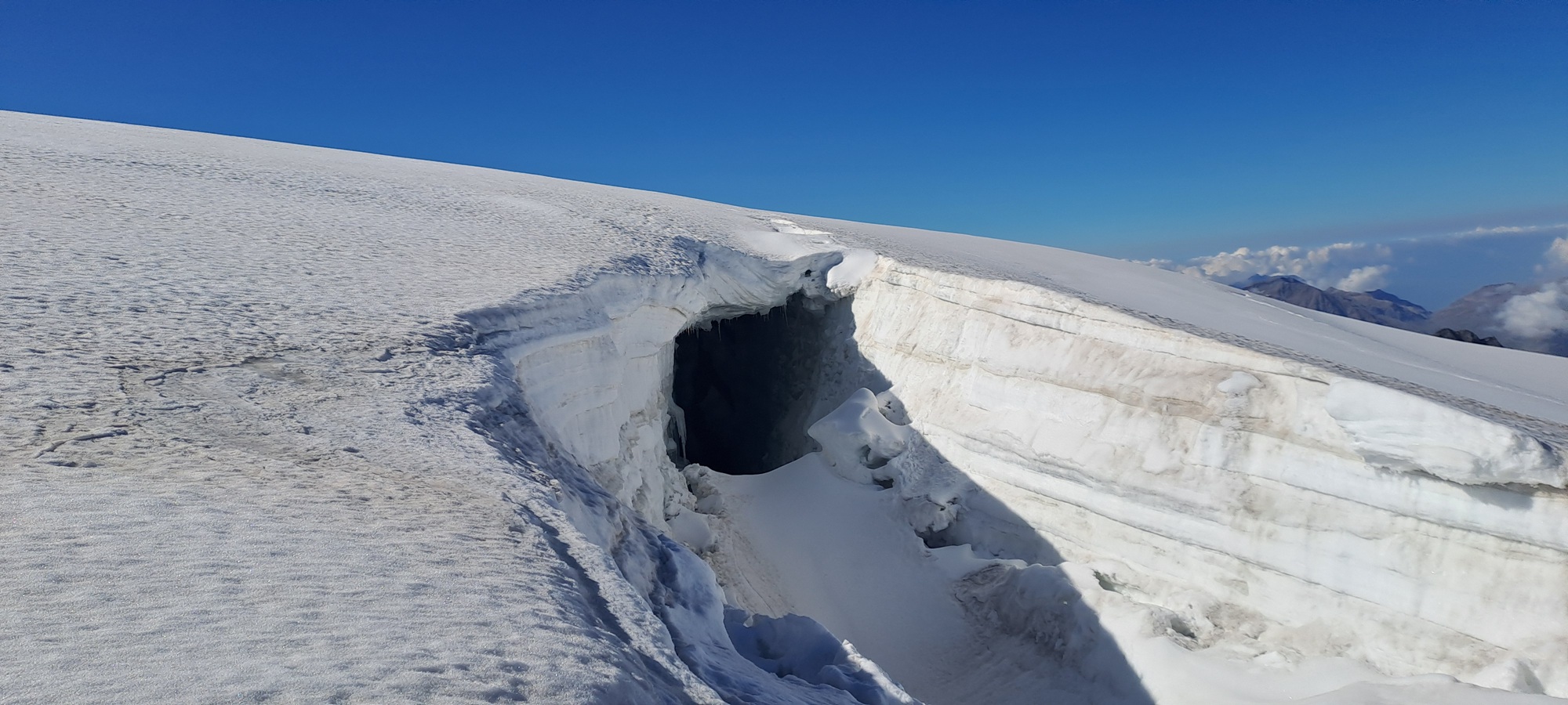
Walking as a rope-team, I could afford to relax a little and marvel at the mountain scenery surrounding us, for the views were absolutely spectacular. We soon acknowledged however that walking in this fashion is hardly necessary, so we decided to unclip after only half an hour since every crevasse was clearly visible.
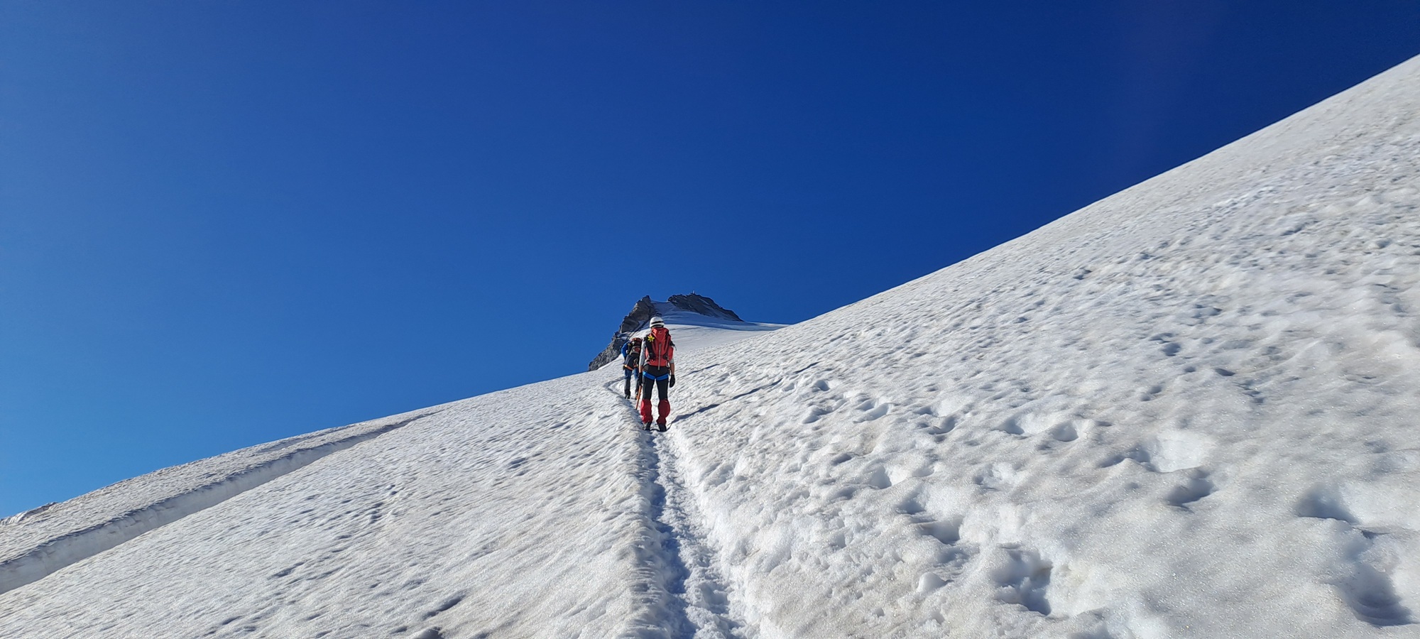
It is a tedious and laborious walk through the soft snow, but as the goal is now within eyeshot our morale increases literally with each step, though equally we feel the altitude and the thinning air to an inreasing degree. We are at threethousandsixhundred meters now.
9:15 a.m.
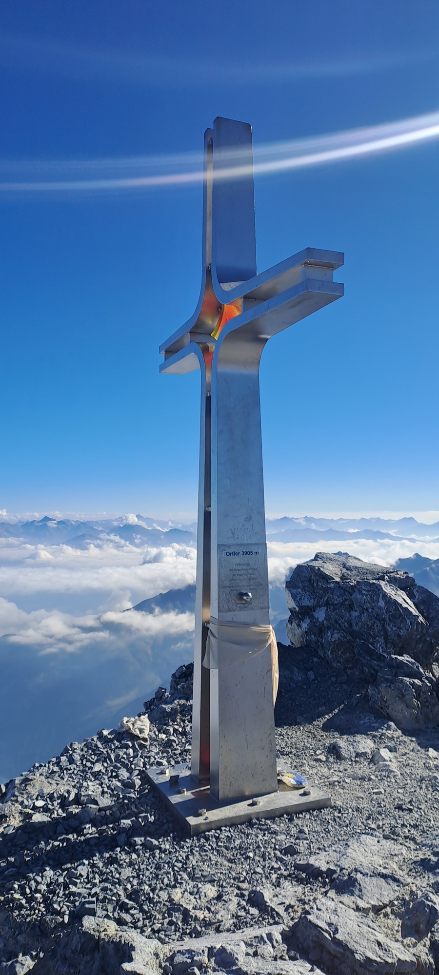
We tarried barely fifteen minutes on the peak after we’d taken the obligatory photos at the summit cross, wolfed down some food, and before we knew it we were already on the descent from the mountain, not musing our success very much.
Maybe it’s a subconscious sense of urgency because it is late, though we are no longer the tail end of the long row of mountaineers.
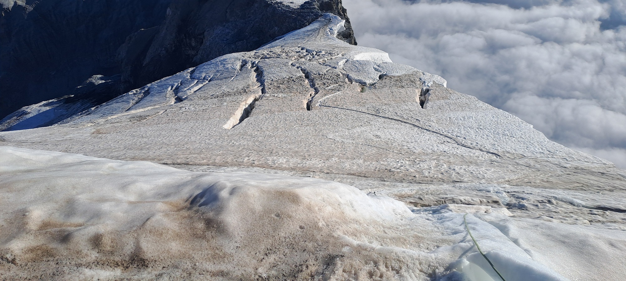
Our bird’s-eye view creates an even stronger impression of the glacier’s crevasses than standing immediately at the edge of them.
10:30 a.m.
The first genuine traffic jam this morning, but the two rope-teams behind us decided to descend parallel in the tricky icy gully. Some guy is kicking ice into my partner’s face with his crampons (unintentionally, I’d say), while another guy, apparently his mountain guide, is abseiling him.
To our annoyance, they ignore our pleas to wait for some minutes so we pause and let them pass. We neither have the desire nor the energy to start a discussion with those people, who’d already made a few rather arrogant passing remarks earlier that day.
1:00 p.m.
After the avalanche had happened, I was able to regain my composure, and do all the rock climbing parts in reverse.
At the UIAA III spot, my partner rappelled his wife before it was my turn, then he abseiled down the ridge himself.
After that, I thanked him and his wife for being my partners and our paths finally separated, for the last sections were not problematic doing them without company.
Shortly before one p.m. I reached the safety of the Payerhütte, and now I am about to enjoy a warm meal and reflect on the luck I had one and a half hours ago.
Most people are gone already, on their way down to the valleys, and the tranquility of the hut is mesmerizing.
After paying my remaining bills, I thank the hut staff for its hospitality, and descend to Sulden to get my bus to Meran.
Photo gallery
Summary and preparation
Duration
As stated above, we had been on the mountain from about five a.m. to one p.m., starting and finishing point Payerhütte (3029 meters).
Eight hours is, I suppose, the average gross time for a Ortler visitor doing the Normalweg, for we had neither been particularly slow nor fast.
If you set off from the Tabarettahütte (2556 meters), you will need one extra hour for the ascent at least.
Difficulty
The mountain is not super demanding stamina-wise, the difference in altitude to negotiate is less than 900 meters with the aforementioned starting point Payerhütte.
The first half comprises rock climbing that includes one UIAA III spot, the rest is rather straightforward and mostly defused by chains attached to the rock.
On the glacier you encounter the common and unpredictable dangers and difficulties depending on the time of day and the weather (crevasses, rock fall, white-outs I want to mention here).
You should have already left the glacier area at noon at the latest. In the comparative heat of the afternoons, snow bridges will be fragile, and the likelihood of rock falls is significantly increased.
Gear
Full alpine climbing gear is required, as a matter of course. Obviously the most important items for the glacier are a helmet, crampons, and an ice axe.
I will not copy and paste or link any detailed lists here regarding further equipment, by reading thus far and by being interested in summiting this mountain in the first place I assume you are in the know.
In case you are unsure and consider your experience with climbing gear as insufficient, I highly recommend hiring a mountain guide (common sense).
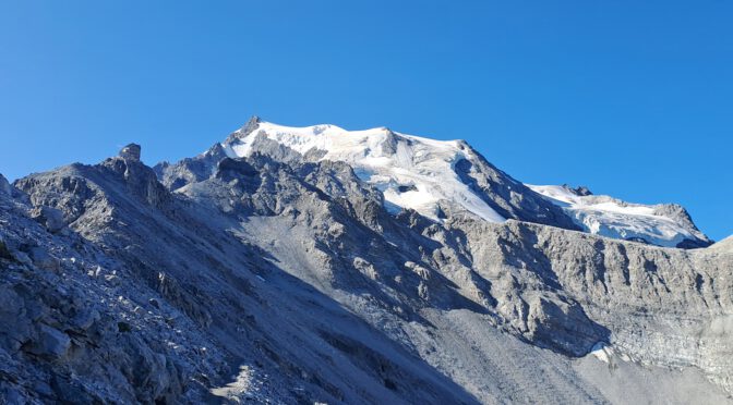
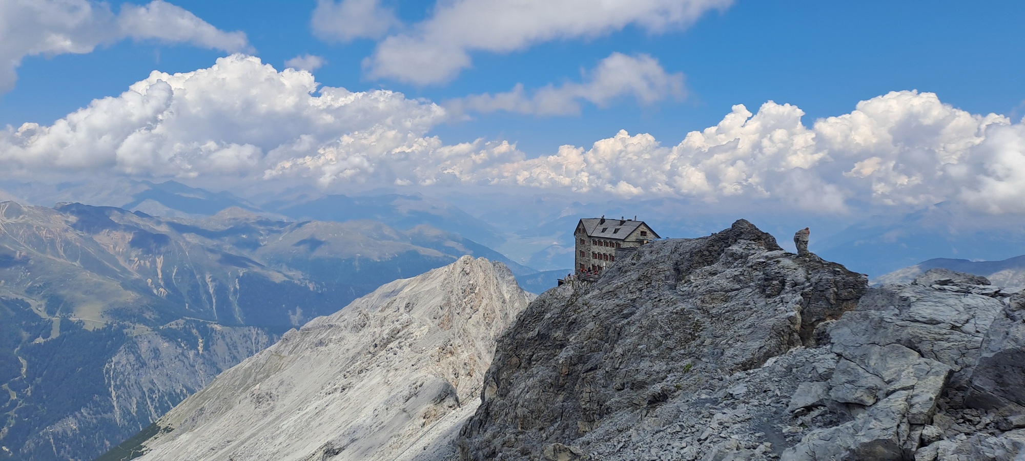
Featured image: Payerhütte and Ortlerferner