Description
Hiking tours from Starý Smokovec (1010 meters AMSL) to Priečne sedlo (2352 meters AMSL) via the Zamkovského (1475 meters AMSL) and the Téryho chata (2015 meters AMSL).
Descent to the Zbojnícka chata (1960 meters AMSL) and from there walking back to Starý Smokovec.
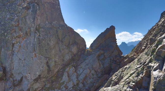
Priečne sedlo is a mountain saddle in the Slovak part of the High Tatras (Vysoké Tatry) mountain range.
Photos


")
")
Map, Topography
Note: all principle mountain saddles are highlighted.
Notes and recommendations
I recommened wearing crampons or spikes on your boots when there is snow on the trail, what is not an unlikely occurrence in early summer or in autumn.
The ascent is not wildly technical (in no place above UIAA II in my estimation, many chains and metal steps attached to the rock), yet some experience certainly does not hurt.
I would also recommend wearing a helmet.