Getting started
The city of Poprad(-Tatry) in the Prešovský kraj (north-eastern Slovakia) suggests itself as a base for hiking tours through the High Tatras on grounds of its location at the south-eastern foothills of the imposing mountain range, and also because of its size (50.000 inhabitants). So you won’t find there an infrastructure solely designed for tourist needs but also larger supermarkets, shops of various kinds, and a nightlife of sorts.
It takes around three and a half hours from Bratislava to Poprad with the fast train connection, and the price for a ticket is about twenty Euros.
There are not so very many sights in Poprad, but there are a lot of bulky, on the exterior quite unappealing hotel complexes reminiscing the long communist era in Czechoslovakia (disregarding their appearance, the hotels are fine and I made only good experiences).
In Poprad you can take the public bus or the meter-gauge railway Tatranské Elektrické Železnice (TEŽ) to many smaller settlements and towns such as Starý Smokovec and Tatranská Lomnica, convenient starting points for exploring the High Tatras mountain range.
High Tatras
The High Tatras1 – sometimes referred to as “the smallest high altitude mountain range in the world” – extend for the most part over Slovakia, but Poland has a considerable share in them too.
The Slovakian part of the mountain range is not accessible for the general visitor from November to June. Environment protection laws prohibit access to higher altitudes in more sensitive areas, respective trails are marked with a corresponding information sign.
Guidelines for a stay in the High Tatras are written down on the Tatranský národný park (TANAP) website.
This restricted access is rather the exception in Slovakia. In other mountain ranges (in the Low Tatras, for example) you are generally allowed to hike at any season of the year.
And if you want to pitch a tent: that is strictly forbidden! According to the tourist info in Starý Smokovec, there exist two camping sites in the High Tatras (have not checked them out myself): one near Štrbské Pleso, and the other in Tatranská Štrba (Horská 40).
Slavkovský štít, August 13
Slavkovský peak (the English word for štít) is 2452 meters AMSL (Above Mean Sea Level; every height stated below is AMSL) high, and you can ascend the peak from Starý Smokovec (1010 meters) on a blue marked path in about five hours.
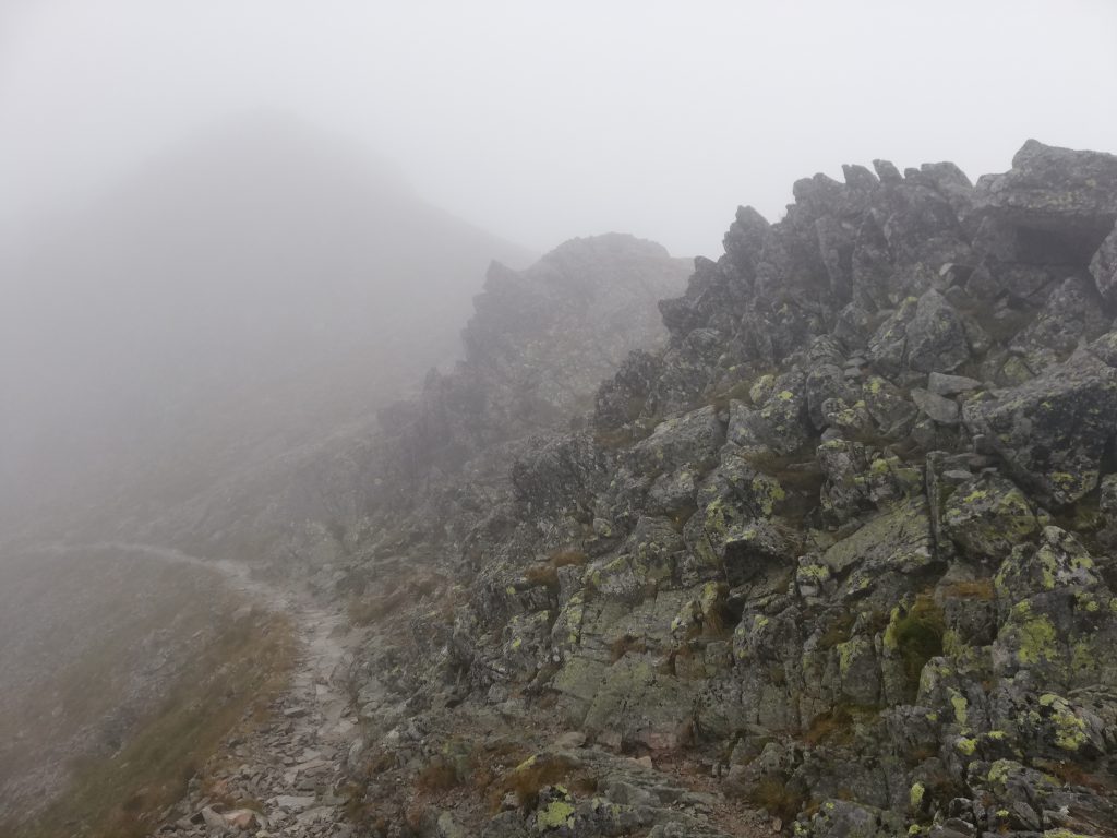
The ascent itself is not particularly intriguing (it is like a bleak stone desert in sections), and the tour might not provide as many good view points and nature experiences as other tours in high altitude areas.
One noteworthy exception is certainly Slavkovská vyhliadka (on 1531 meters), from where you can marvel at the second highest peak in Slovakia, Lomnický štít (2634 meters).
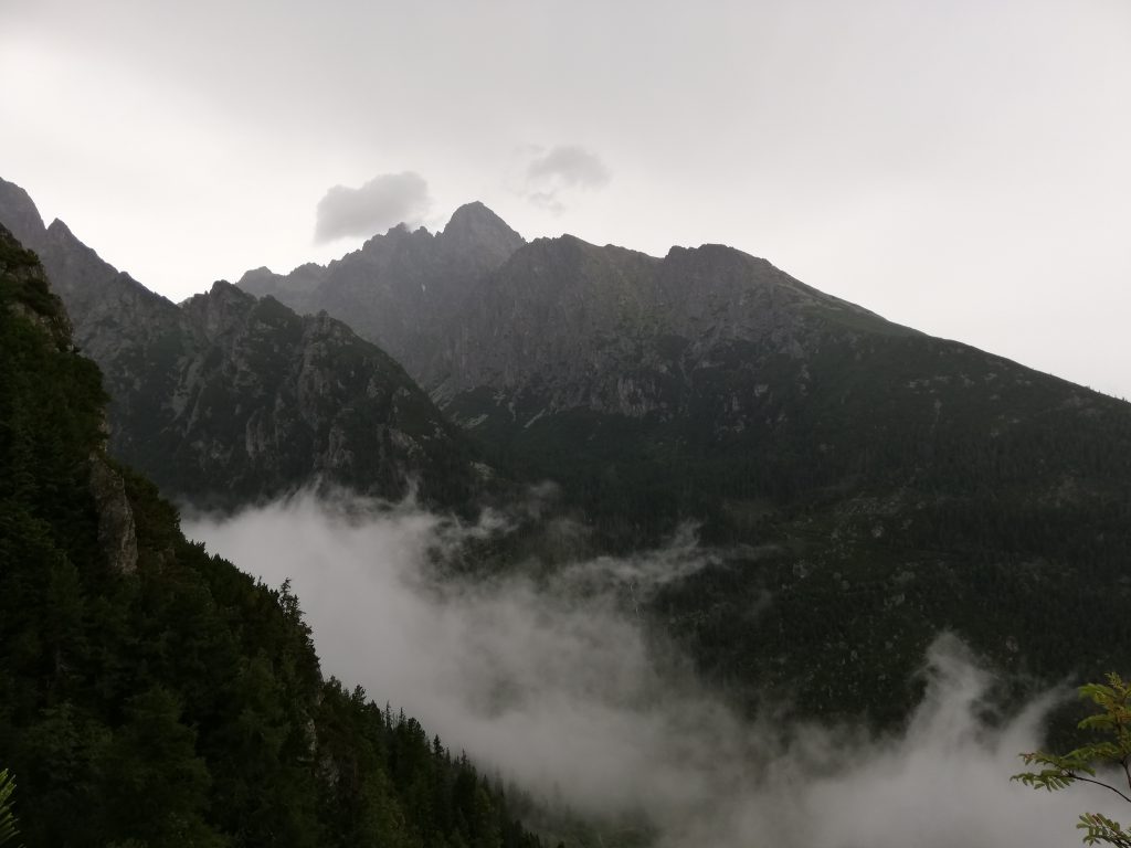
From the Slavkovská vyhliadka view point onwards, you have the Veľká studená dolina (“Big cold valley”) on your right hand side, which offers some nice panorama views and good opportunities for taking photos.
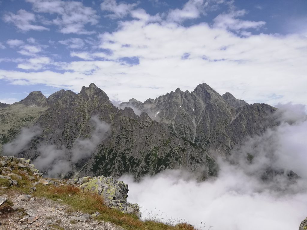
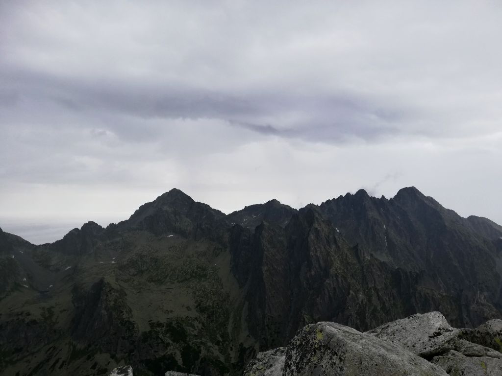
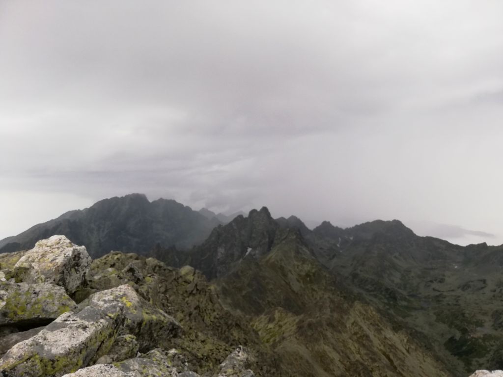
After crossing several smaller and bigger stony rises, including the Nos rise on 2273 meters, I was happy to enjoy my very first view from a prominent peak of the High Tatras.
I hadn’t really considered the vicissitudes of nature in high altitude mountains, and I was overtaken by a thunderstorm literally minutes after beginning my descent from Slavkovský peak.
I had a lot of troubles making my way down, as it was difficult to keep my footing on the slippery rocks. I fell down twice, ruined my trousers, but suffered fortunately no injuries except a few bruises2 .
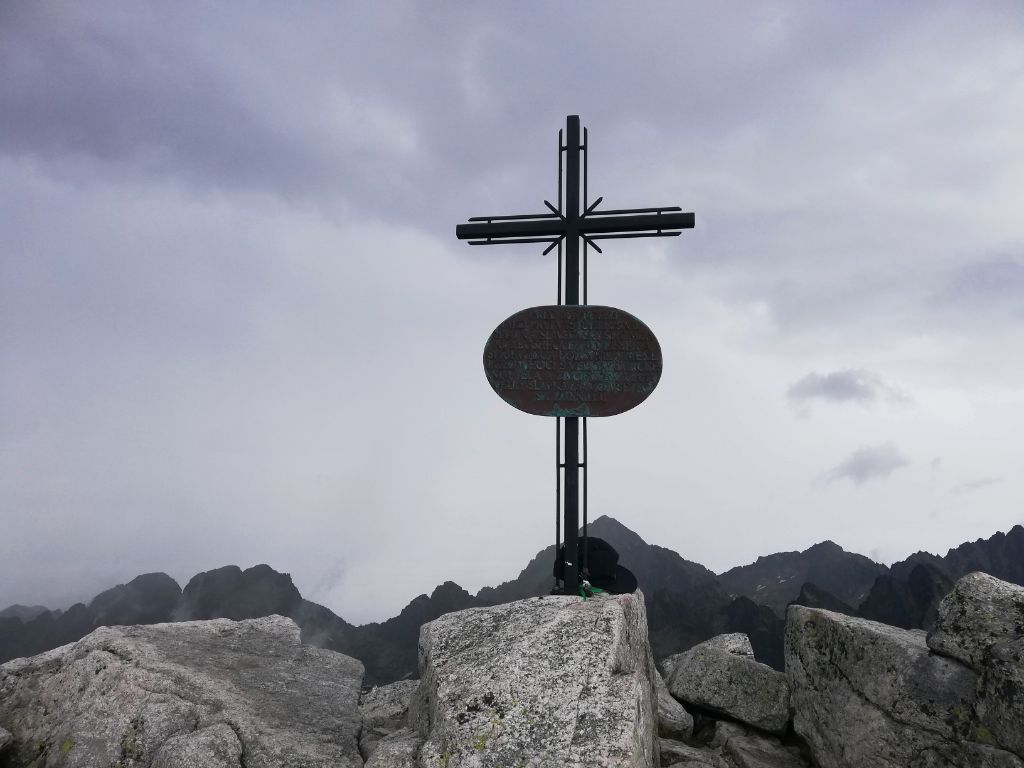
Veľká Svišťovka, August 14
The Veľká Svišťovka peak that I was steering for on this day boasts a height of 2038 meters, offering a comparatively easy ascent.
However, on this tour in the eastern parts of the High Tatras you hike rather for the gorgeous mountain lakes than for climbing this particular peak, which lies roughly midway between Skalnaté pleso and Zelené pleso (red marked path).
My starting point was the green trailhead at the train station in Tatranská Lomnica (850 meters), the largest town in the High Tatras. The green marked trail leads directly to the Skalnaté pleso lake, one on the first half comfortable walk.
The weather was really bad and it was raining most of the time, so I encountered almost no other outdoor enthusiasts on this August day.
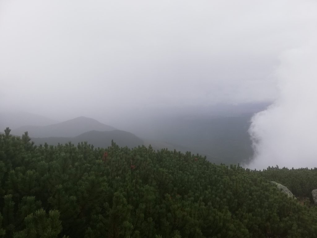
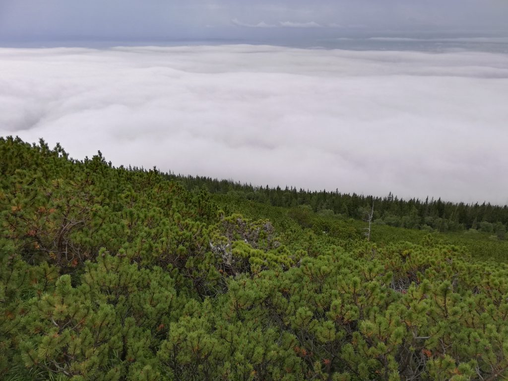
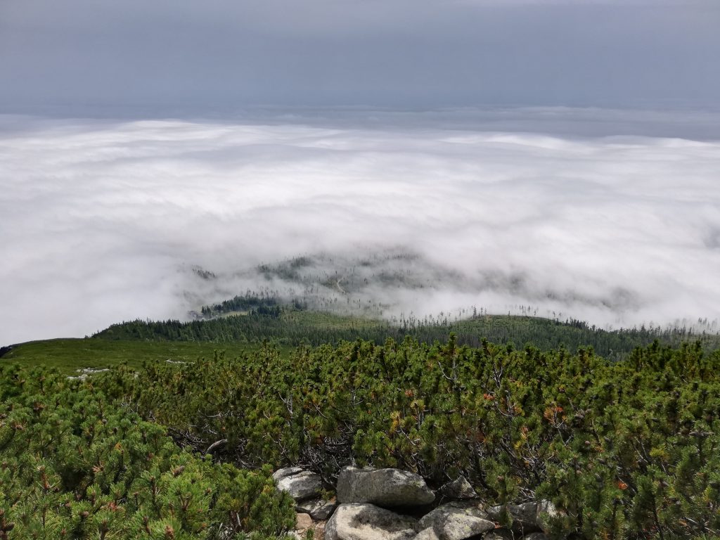
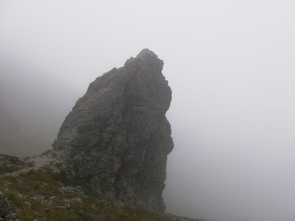
The descent from Veľká Svišťovka, where there wasn’t much to see because of the dense fog and an overcast sky, led me towards the Zeleného plesa dolina.
Here two of the larger mountain lakes in the eastern part of the High Tatras are to be found: Čierny pleso and Zelené pleso.
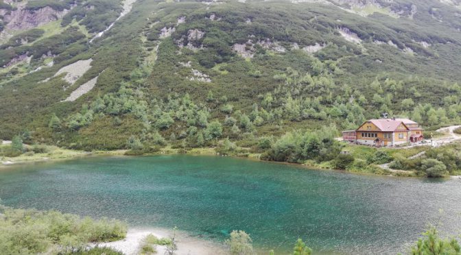
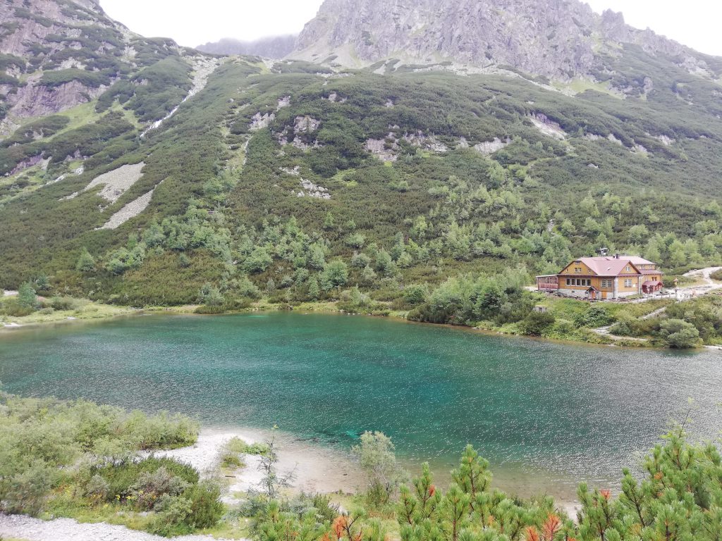
The mountain lake Zelené pleso got its name from its peculiar color (zelený, -á, -é is the Slovak adjective for green) evidently, and an exceptionally splendid lake it is.
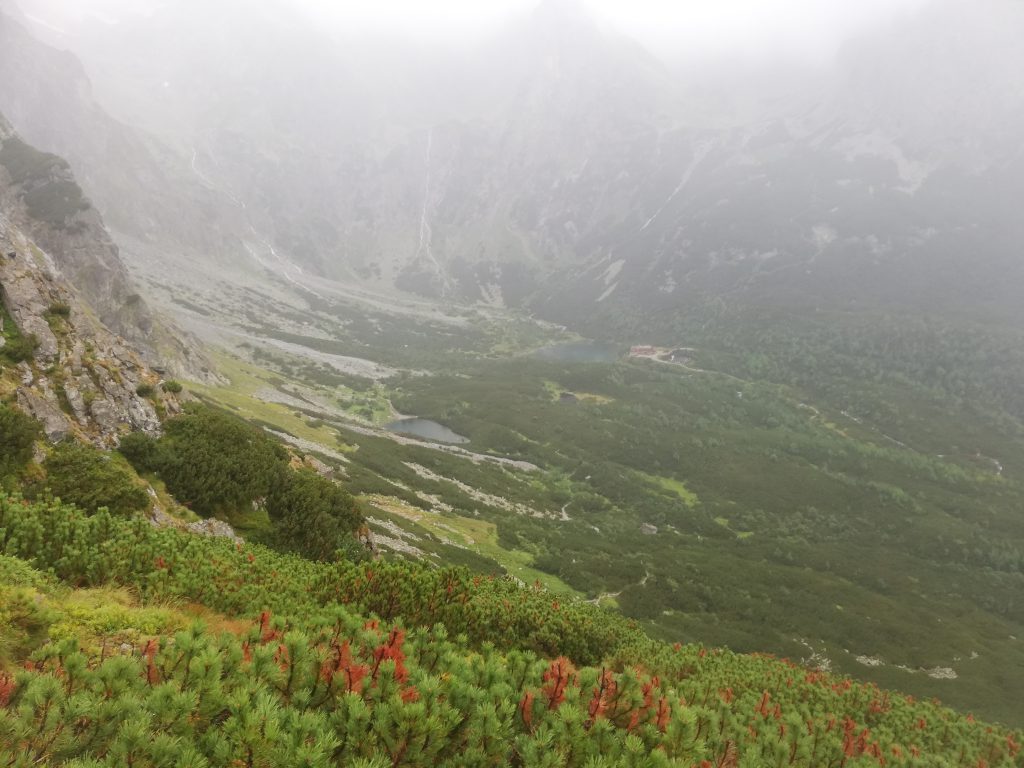
The cottage Chata pri Zelenom plese, situated next to the lake, is a very popular destination for tourists, and even on this rainy Wednesday most of the tables were occupied.
And so somewhat unexpected after my for the most part solitary tour this place turned out to be a good location for getting in contact with fellow hikers, and I made friends with two girls from Gdansk (Danzig).
From Zelené pleso one has the opportunity to proceed to Jahňací štít, the easternmost peak in the High Tatras (2230 meters). It was quite late in the day, so I headed back to Tatranská Lomnica on the yellow marked trail.
Belianske Tatry
Close to Tatranská Lomnica stretch the Belianske Tatry, a very small mountain range in comparison with the High Tatras. The mountains here have a entirely different geological structure, namely limestone rock in lieu of granite rock.
The different soil composition leads to a distinct flora, which appears greener, pristine and not as destitute of vegetation as the mountain ranges farther east.
Some exceptions aside, the Belianske Tatry are not accessible for visitors due to strict nature protection laws. So is the highest peak in the mountain range, Havran (2152 meters).
Kopské sedlo, a mountain saddle a few kilometers north of Zelené pleso, marks the transition point between the High Tatras and the Belianske Tatras.
1 Slovak: Vysoké Tatry; vysoké is the plural form of vysoký, -á, -é and the Slovak adjective for “tall” or “high”
2 it may sound elementary, but it is very important to pay attention to the weather forecast before you set off for a trip in high altitude mountains – thunderstorms can be a deathtrap, near a peak and near via ferratas (metal) in particular
Featured image: Zelené pleso (“Green mountain lake”)
