Table of contents
Rysy, April 21 2025
Photo and video gallery
Aftermath
Further information
Footnotes and References
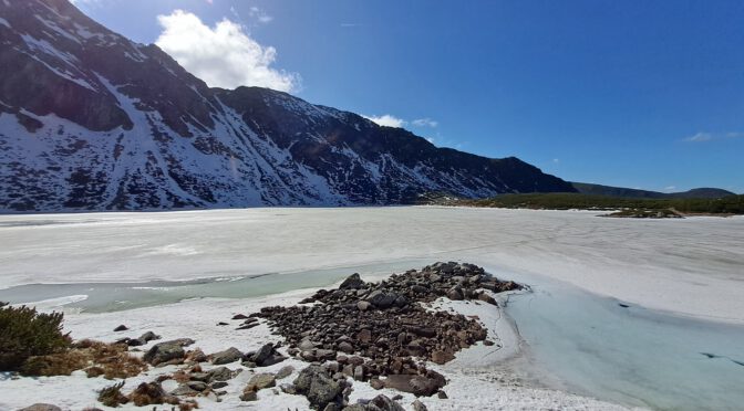
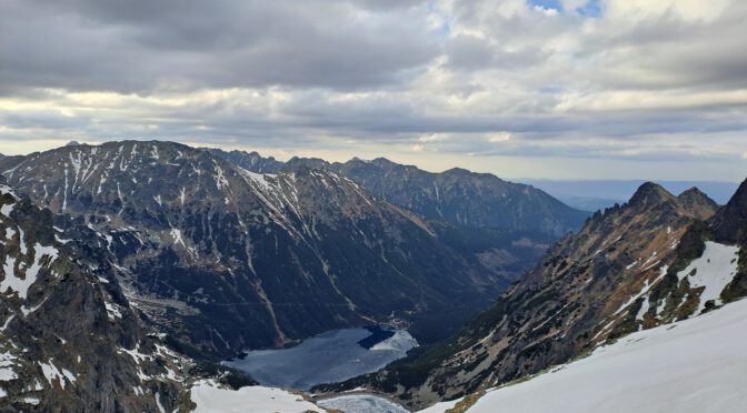
Rysy, April 21 2025
It is already six p.m. and we’re heading down since two hours, as we spot a solitary figure in the distance approaching from Czarny Staw pod Rysami.
He’s apparently ascending, not descending, and we cannot make much sense of it. Ascending to Rysy that late, in these conditions, … read more