Description
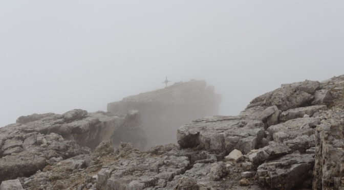
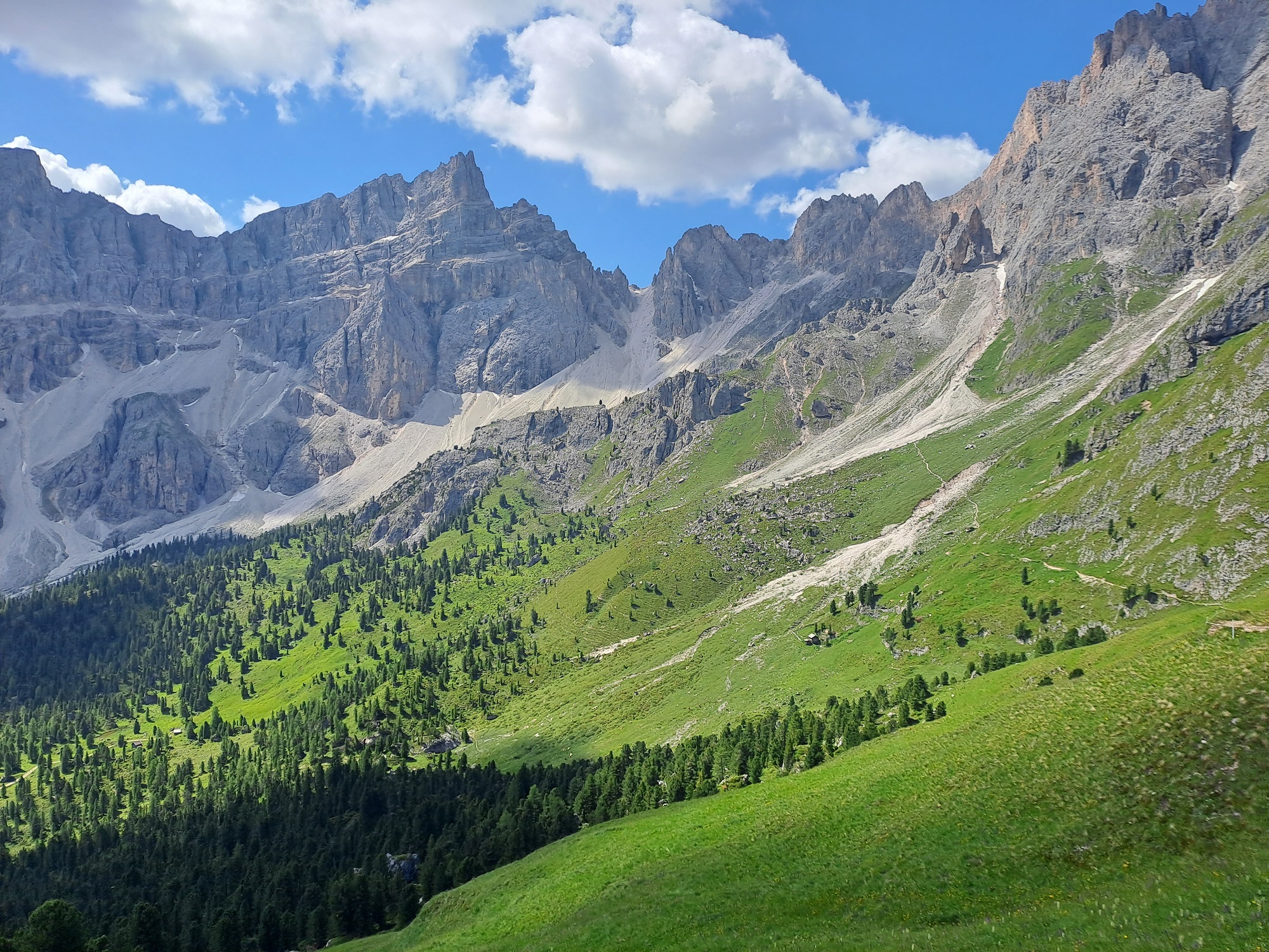
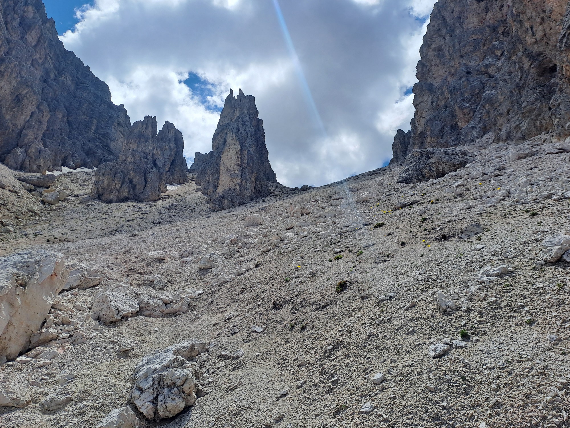
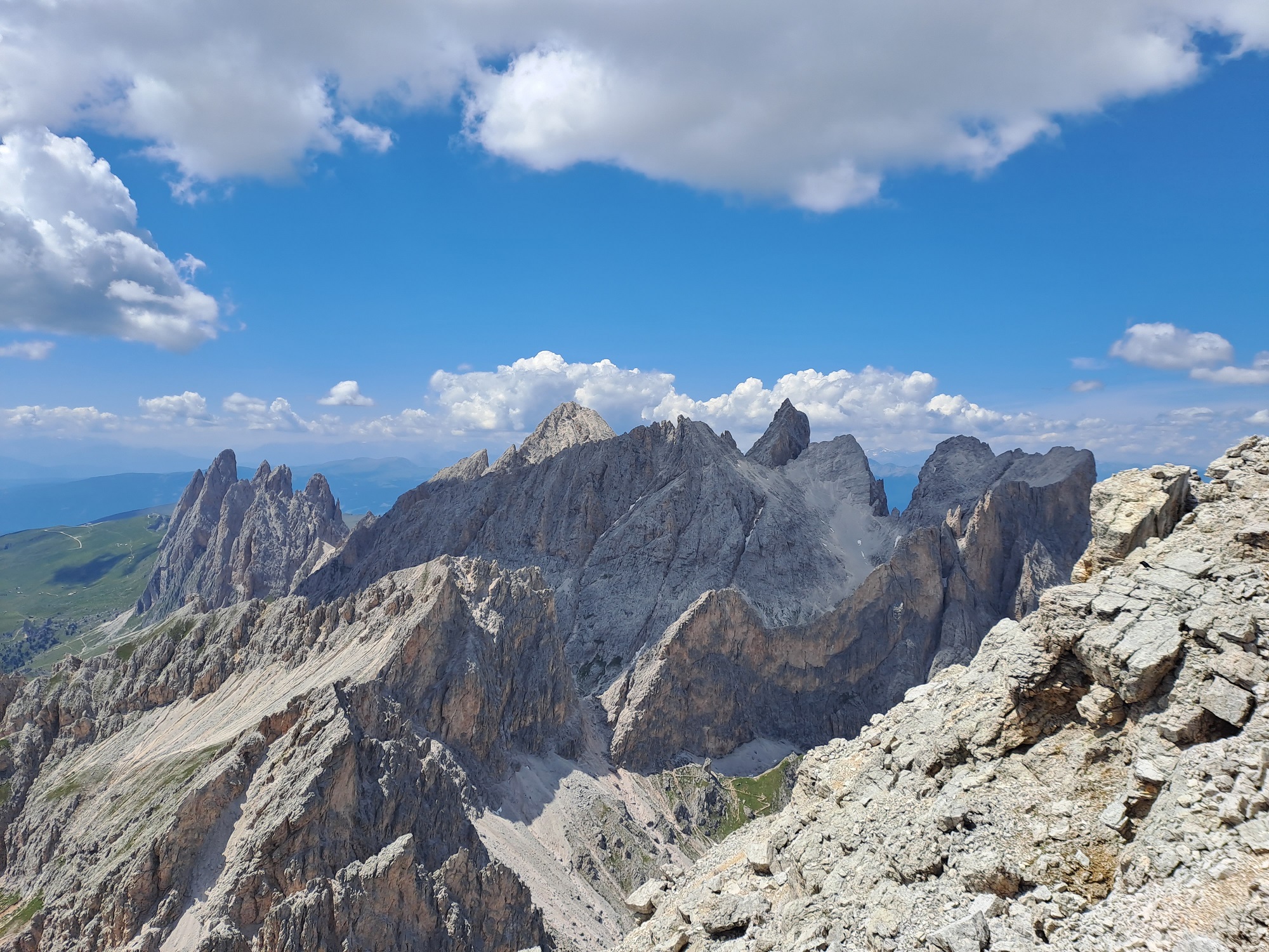
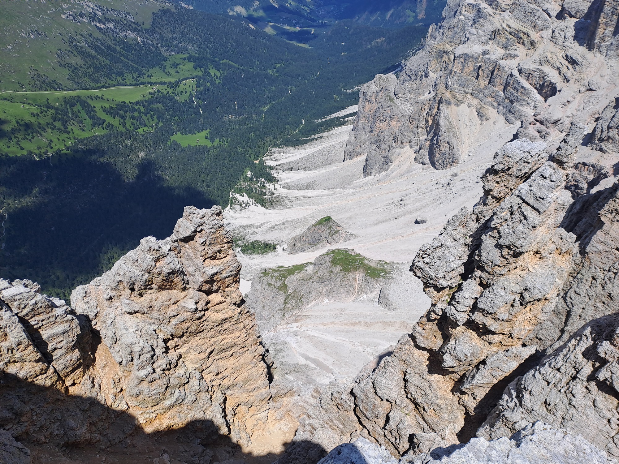
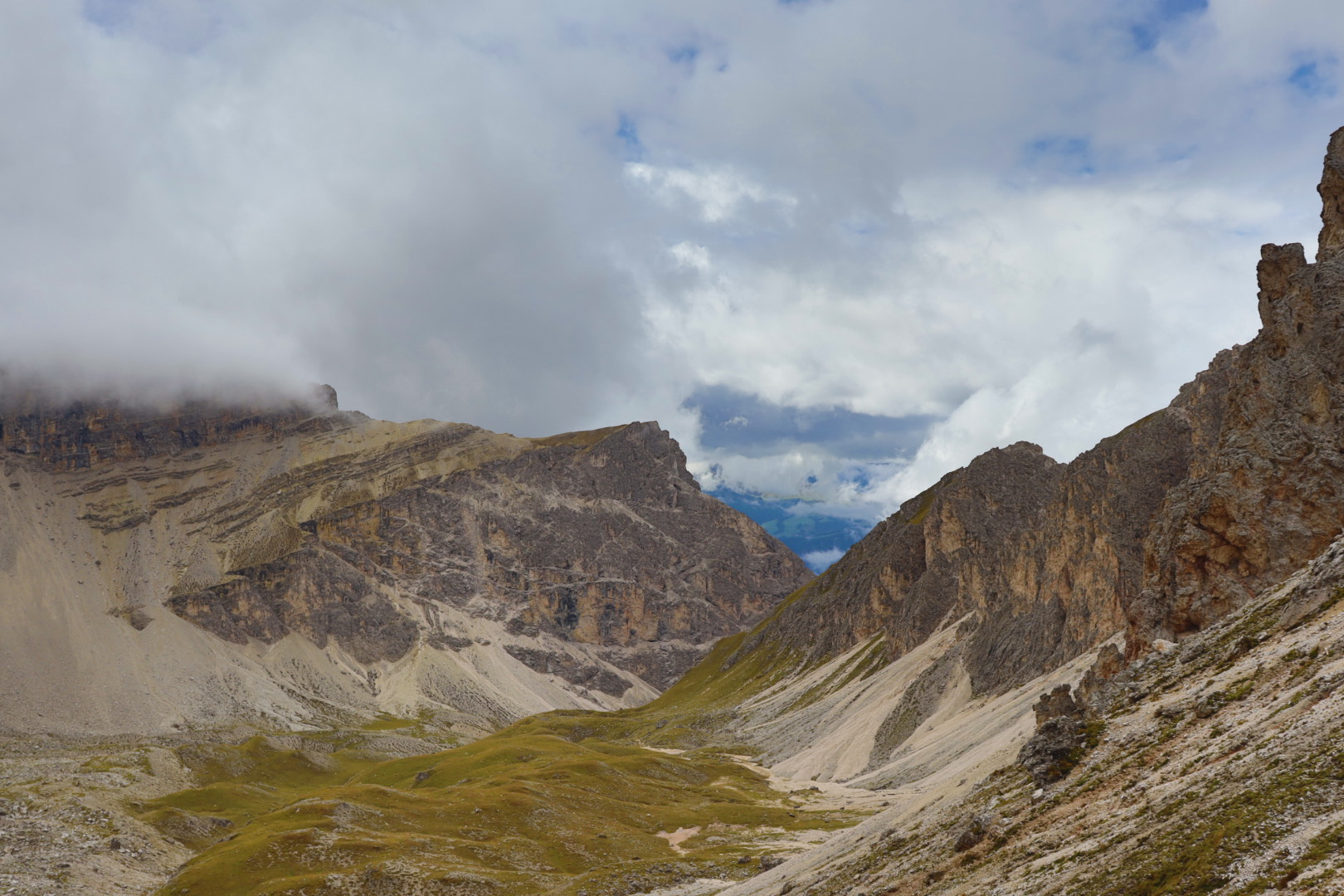
Hiking tour from Zans (Rifugio Zannes, 1680 meters AMSL) to Piz Duleda (2909 meters AMSL) via Kreuzjoch and Roa Scharte (2617 meters AMSL).
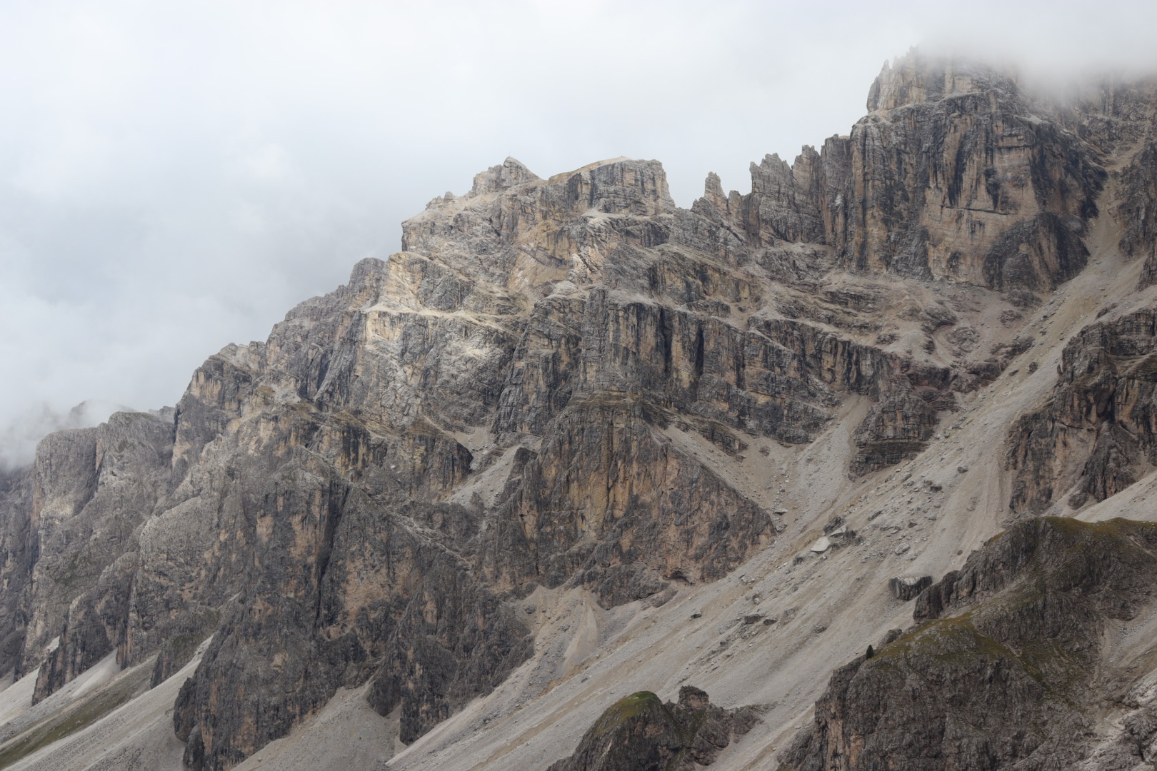
Piz Duleda is a mountain located in the Dolomites in South Tyrol, Italy.
Photos
July 2023
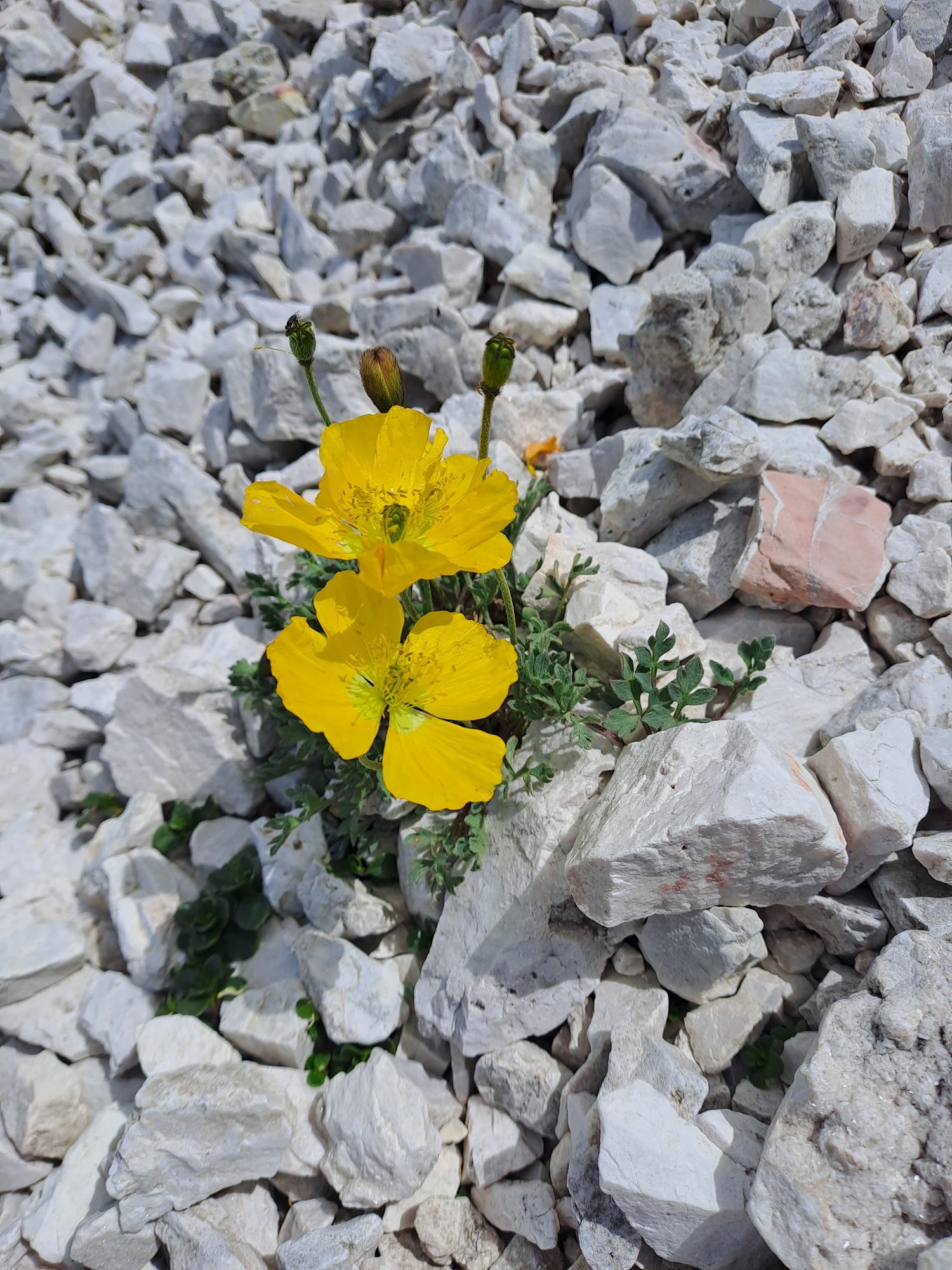
September 2022


Map, Topography
Notes and recommendations
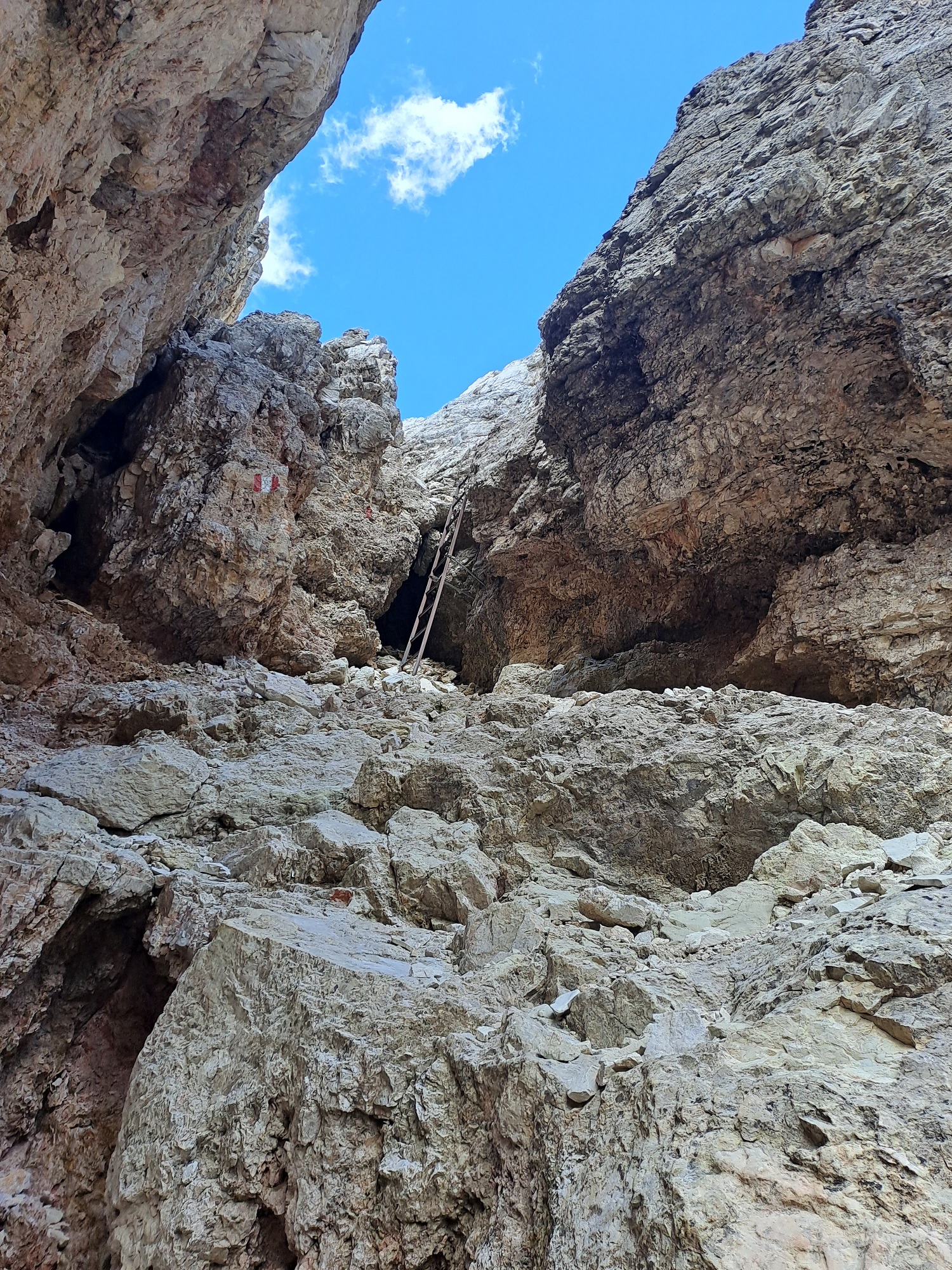
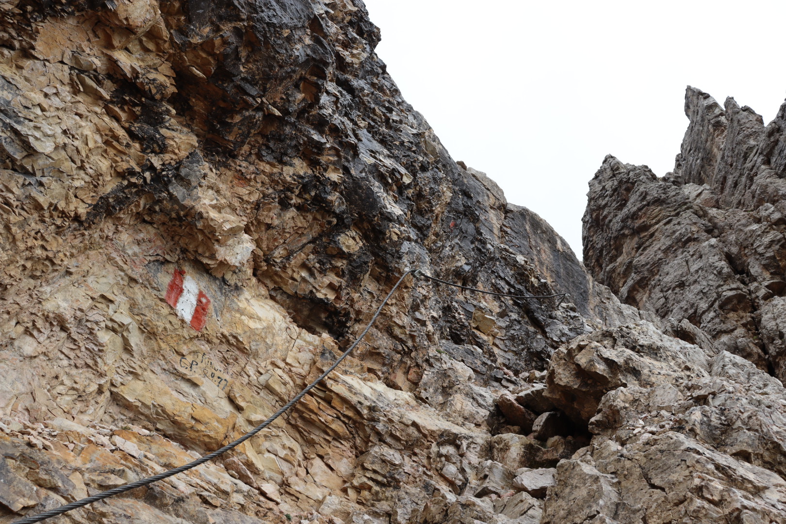
I recommend wearing a helmet from the Roa Scharte on, otherwise the ascent boasts hardly any technical challenges.