Note
This blog post is a continuation of a past article about hiking tours in Trentino.
Cima Roccapiana, July 25
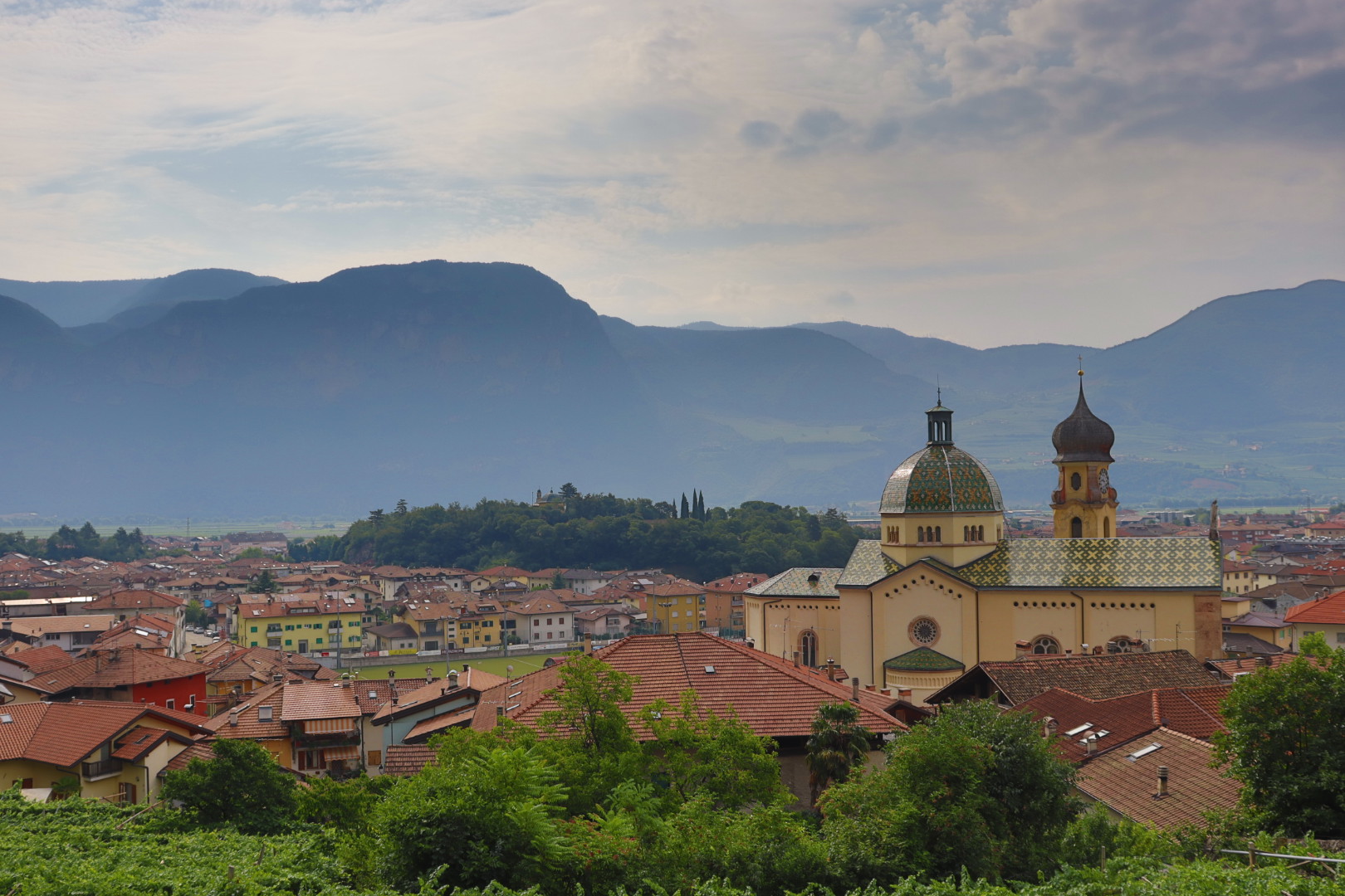
Mezzocorona, a town surrounded by large vineyards on 219 meters AMSL (Above Mean Sea Level; every height stated below is AMSL), is reachable from Trento by train within fifteen minutes.
The peak I had chosen for this day was Cima Roccapiana (“Flat Rock Peak”) in the north of Mezzocorona, boasting a height of 1873 meters.
So I had to negotiate an altitude difference of 1654 meters, what was ambitious but nonetheless doable for a semifit mountaineer like me.
As it soon turned out, the area was rather easy to traverse though the signs at the trailhead told me otherwise.
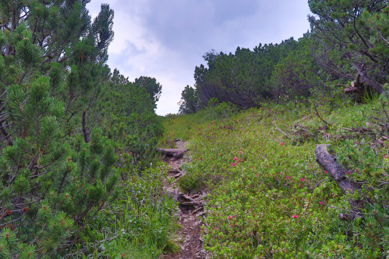
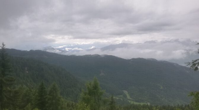
Getting lost requires a great deal of oscitancy, the red and white markings are numerous and easy to spot along the way. The trail leads for the most part through dense forest however, so good view points are comparatively rare.
After passing the Malga Bodrina chalet on 1551 meters, an inviting place for the random visitor and a kind of animal farm, the footpaths get less technical and less steep without any via ferrata sections.
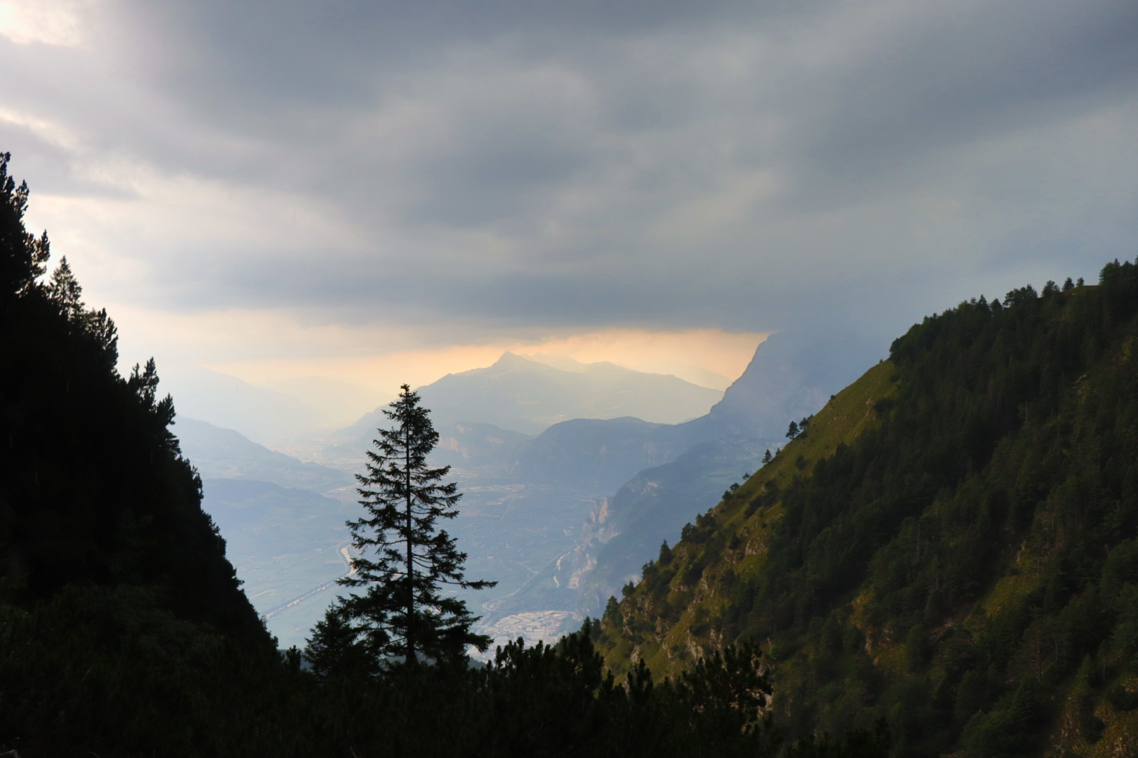
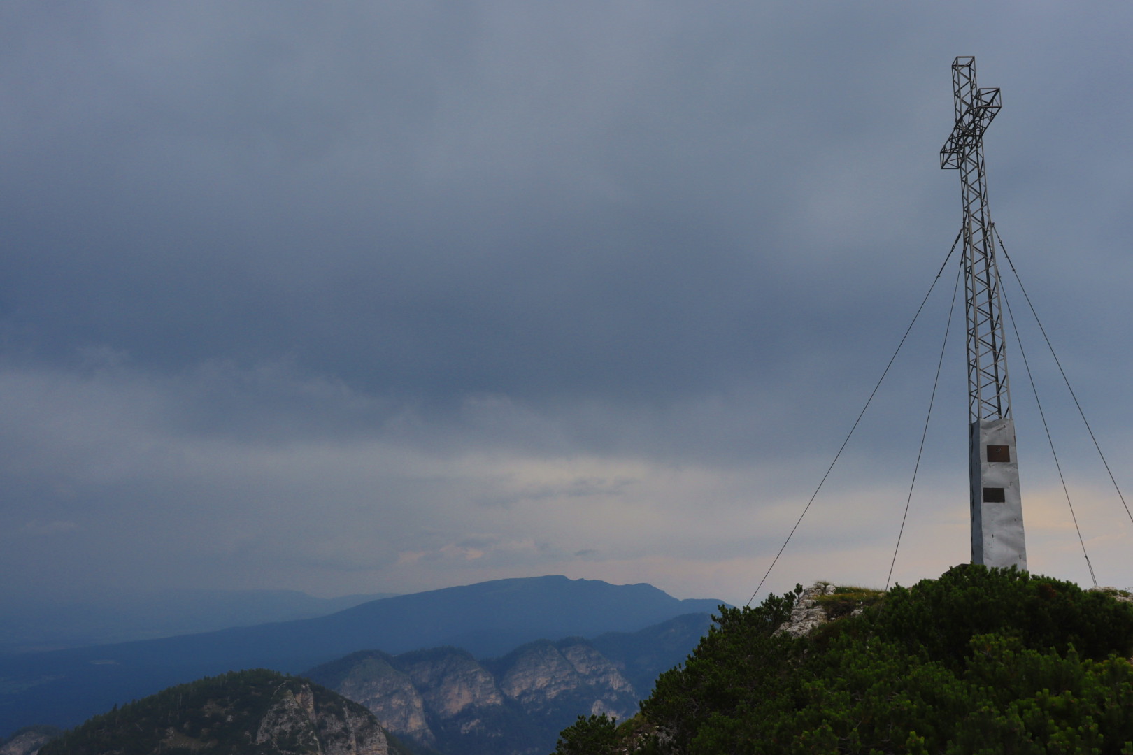
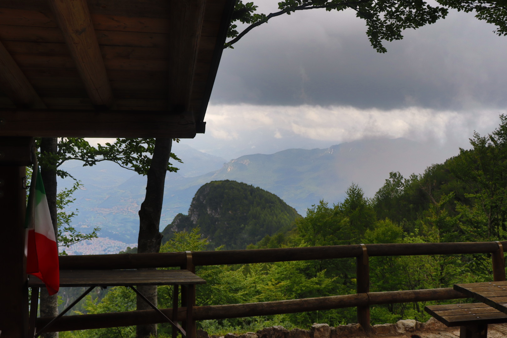
You can march to Cima Roccapiana from the cabin smoothly in under an hour, and there I had a nice view of the surrounding country eventually (though bad weather was approaching).
Il Palone (Cima Palon), July 27
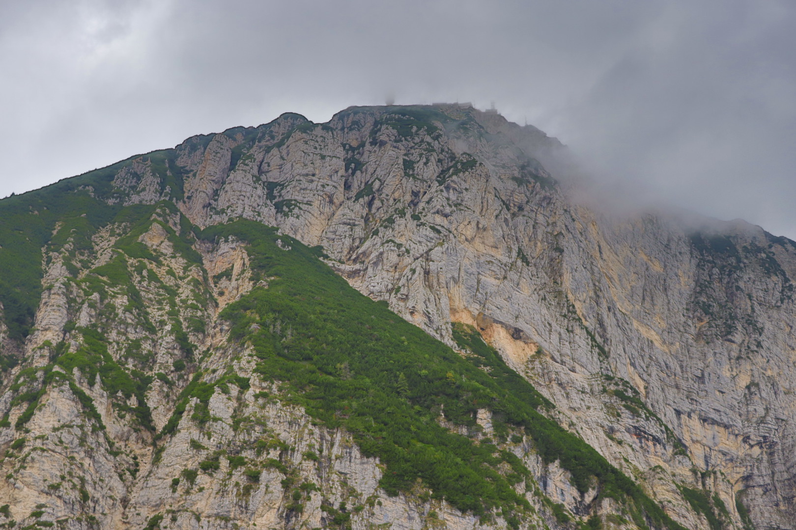
The goal I’d set for this day was even more ambitious than two days before: Cima Palon in the south-west of Trento with a peak elevation of 2096 meters.
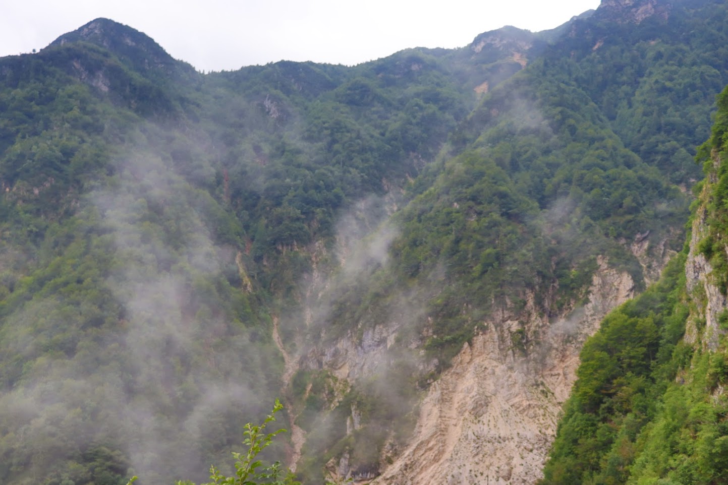
I started in the city center of Trento on 194 meters, and encountered for the next five hours thick forest and a difficult terrain with precipitous and slippery slopes.
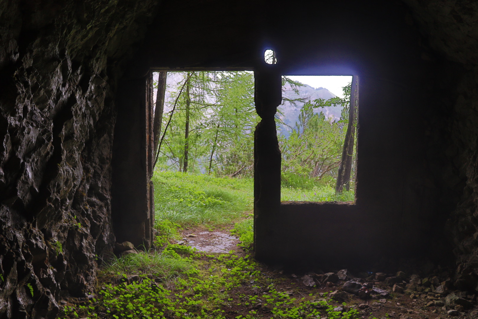
It was becoming a little easier and also more interesting from the Parolet junction on (1540 meters, Parolet is a peak with 1577 meters altitude), with a broader trail (Sentiero della Val di Gola) and fortification structures to my left hand side stemming apparently from the World War 1 era, built into the solid rock like honeycombs.
Meanwhile the weather was getting worse, and proceeding the ascent was an unwise thing to do, as a matter of fact.
But the idea breaking a personal record (conquering 1900 meters altitude difference in six hours, after all) got the better of me in the end, and I reached Il Palone exhausted but happy in the mid-afternoon.
I did not tarry on the peak to marvel at the abandoned ski lift and the refuge, and descended quickly towards the small town of Vason on 1650 meters. Just quickly enough to avoid a massive thunderstorm that struck soon after.
Again I had a fair share of luck on a difficult and lengthy tour through a mountainous and quite unpredictable terrain.
Featured image: Near the town of Vason after the descent from Cima Palon