Table of contents
Introduction
Mulhacén, June 17
Photo gallery
Footnote
Introduction
Last year in December I made a couple of very enjoyable snow and hiking tours around Pradollono and to Pico del Veleta, so this was my second visit to the Sierra Nevada mountain range in Andalusia in Southern Spain.
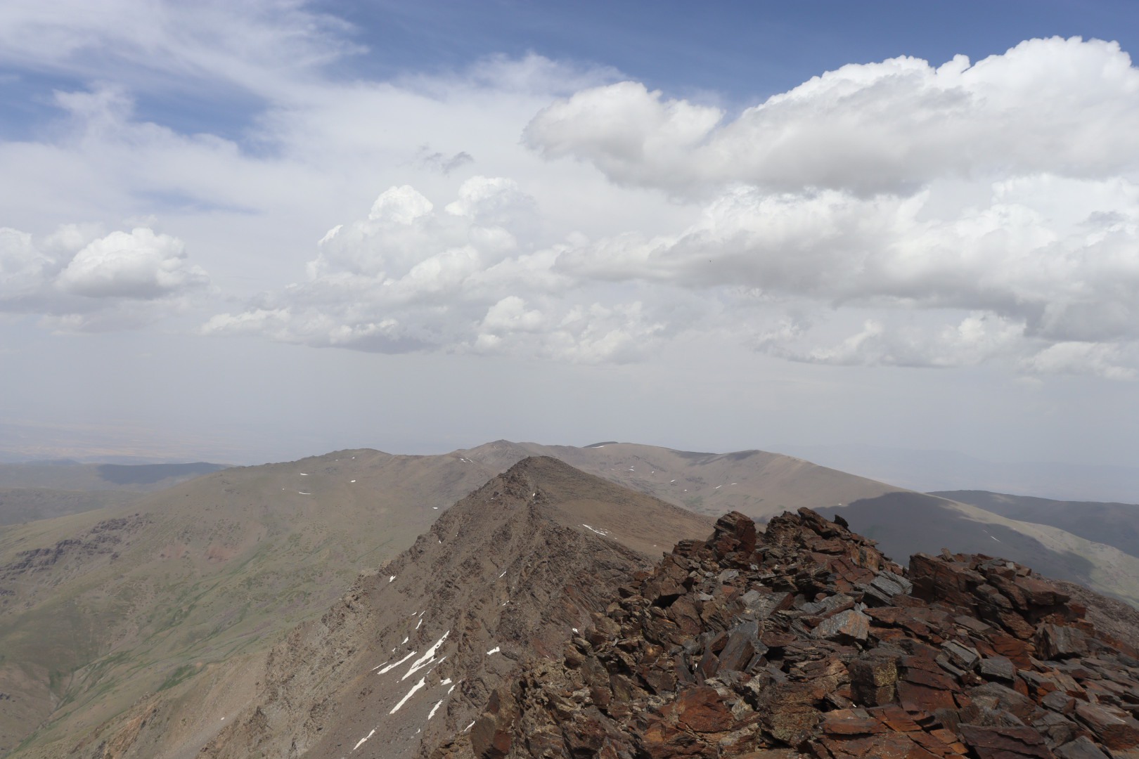
Located in the Sierra Nevada is (Pico de) Mulhacén, a mountain boasting 3479 meters above sea level and hence bearing the distinction being the highest on the Iberian Peninsula.
The only Spanish mountain surpassing Mulhacén is Pico del Teide (3715 meters) on the Canaries, islands that belong to Africa geologically, and, interestingly enough, the third highest Spanish mountain Aneto (3404 meters) is lying in yet another mountain range, the Pyrenees.
Mulhacén, June 17
Given the height of the mountain range in general, and of the peaks in particular, the Sierra Nevada is easily accessible.
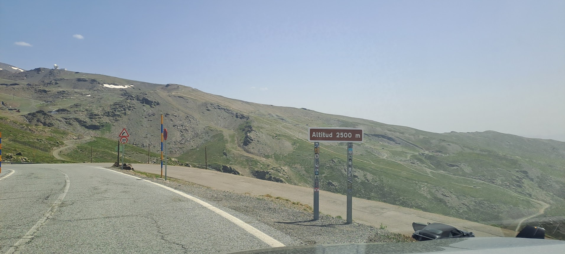
You can park your car on one of the many parking lots in the town of Pradollano1, one lies even at 2500 meters (restricted access though), and start your ascent there by following a paved road or walk the gravel paths until you reach your first stopover, the “Refugio Vivac de la Carihuela” at 3224 meters, an unmanned shelter offering the opportunity to spend the night.
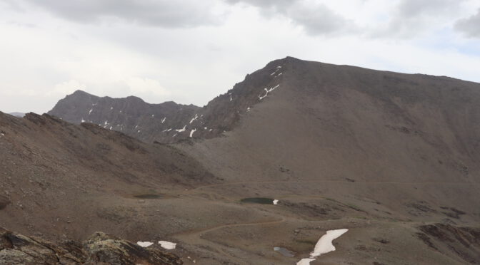
The shelter lies at the foot of Pico del Veleta (3396 meters), the second highest peak in the Sierra Nevada, but I paid not much attention to that mountain on this occasion and I steered directly for the paths eastwards further into the mountain range.
Speaking of shelters, I came across two more of them in the next two hours.
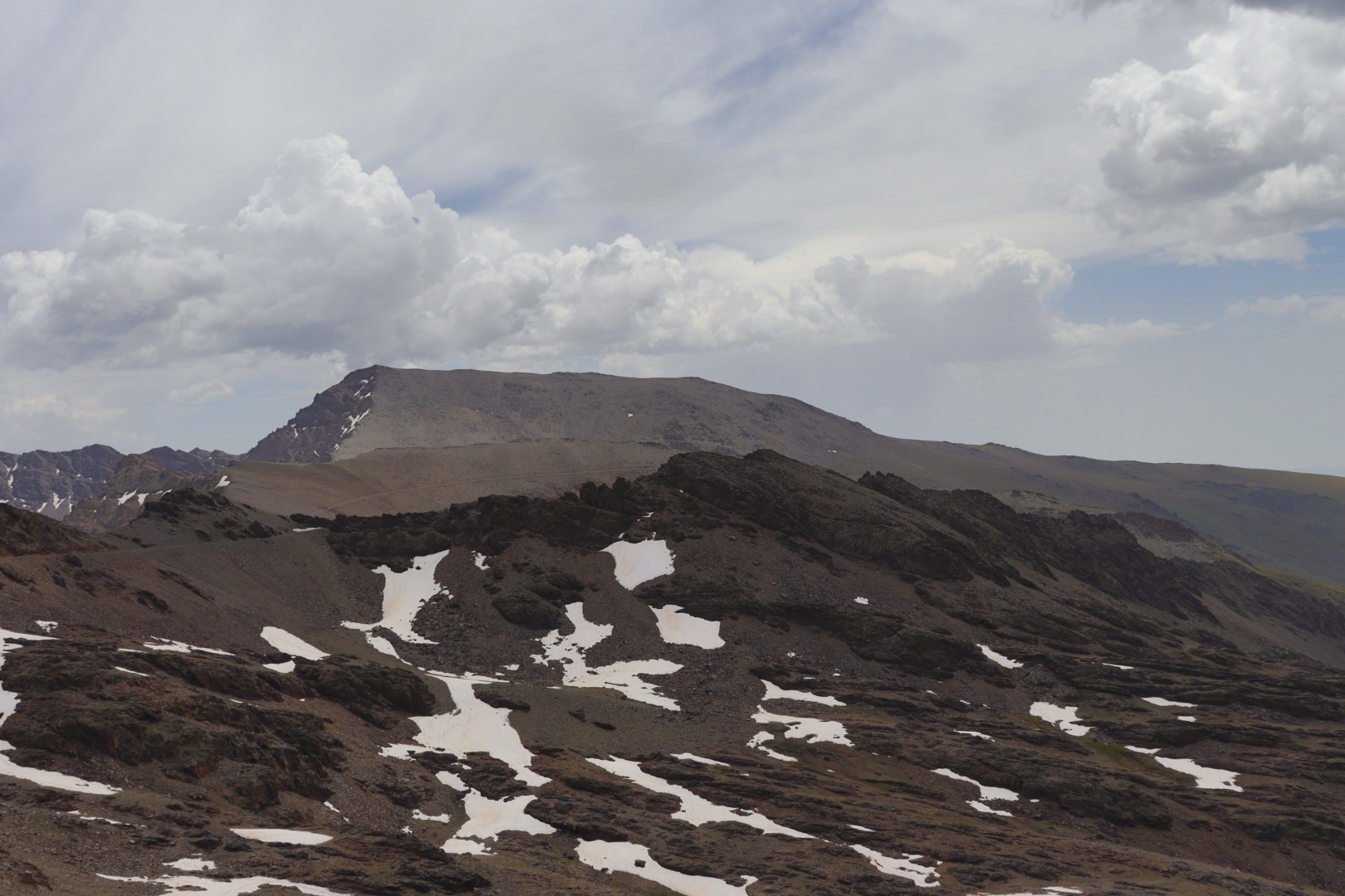
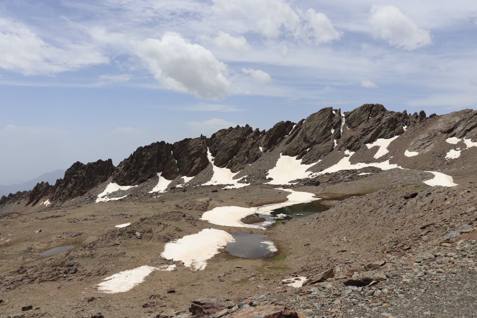
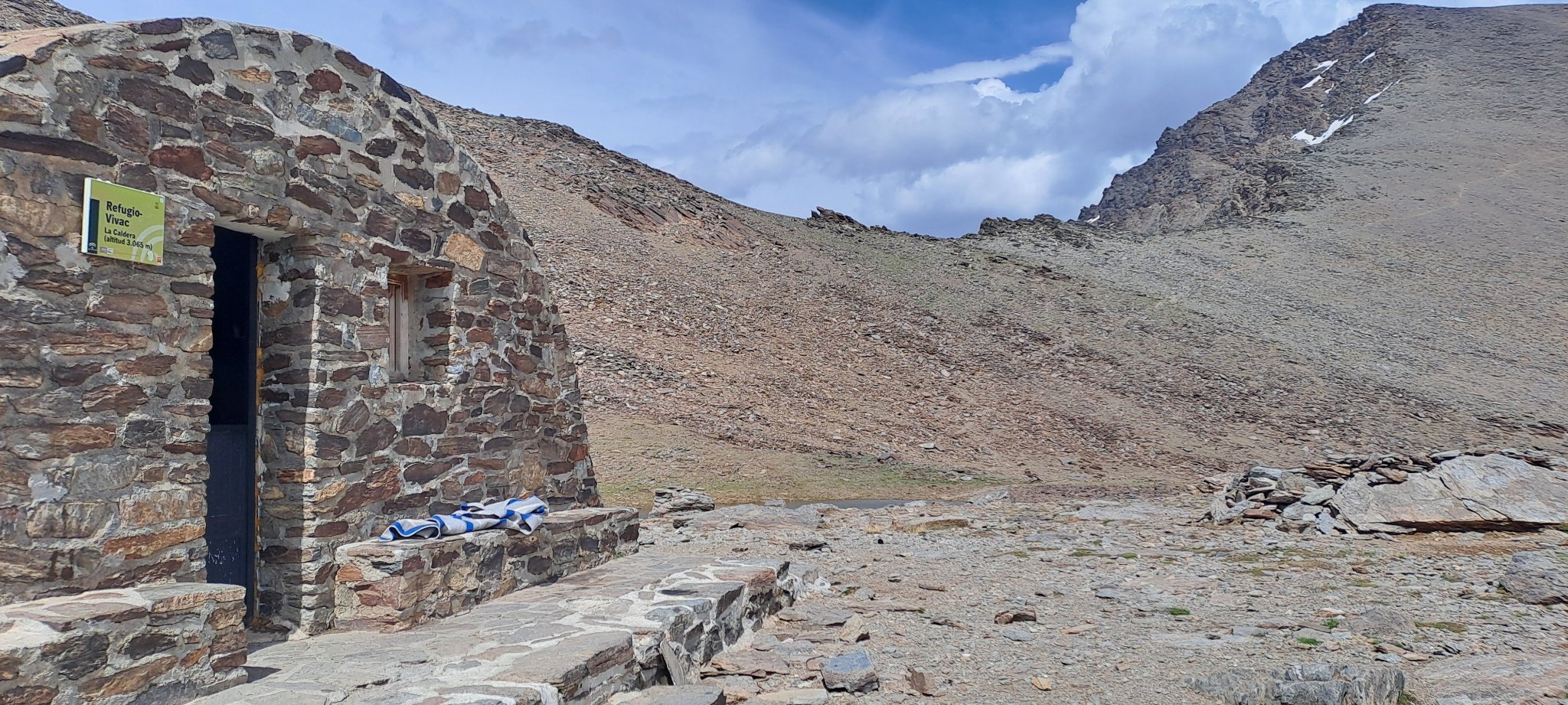
“Refugio Villavientos” is located in a more southern direction at the tip of a stretched elevation, the trail leading in a loop around it (see map and photos). This elevation can also be crossed without spending too much energy, a short ascent and descent will lead to the “Laguna de la Caldera” and the “Refugio Vivac de la Caldera” at 3065 meters. You cannot miss that one either way for it is lying already at the foot of Mulhacén.
These bulky refuges all look much the same, and since they are usually buried under thick layers of snow in winter (Sierra Nevada means literally “snow-clad mountain range”) their design resembles a bunker-type of a structure.
In any case they offer space to sleep for about a dozen people on end-to-end wooden plank beds (more would be possible, but don’t expect a proper night’s sleep then), but for they are all unmanned you get no food stuff, blankets and the like there, the name Refugio Vivac or “Bivouac Shelter” suggests that already.
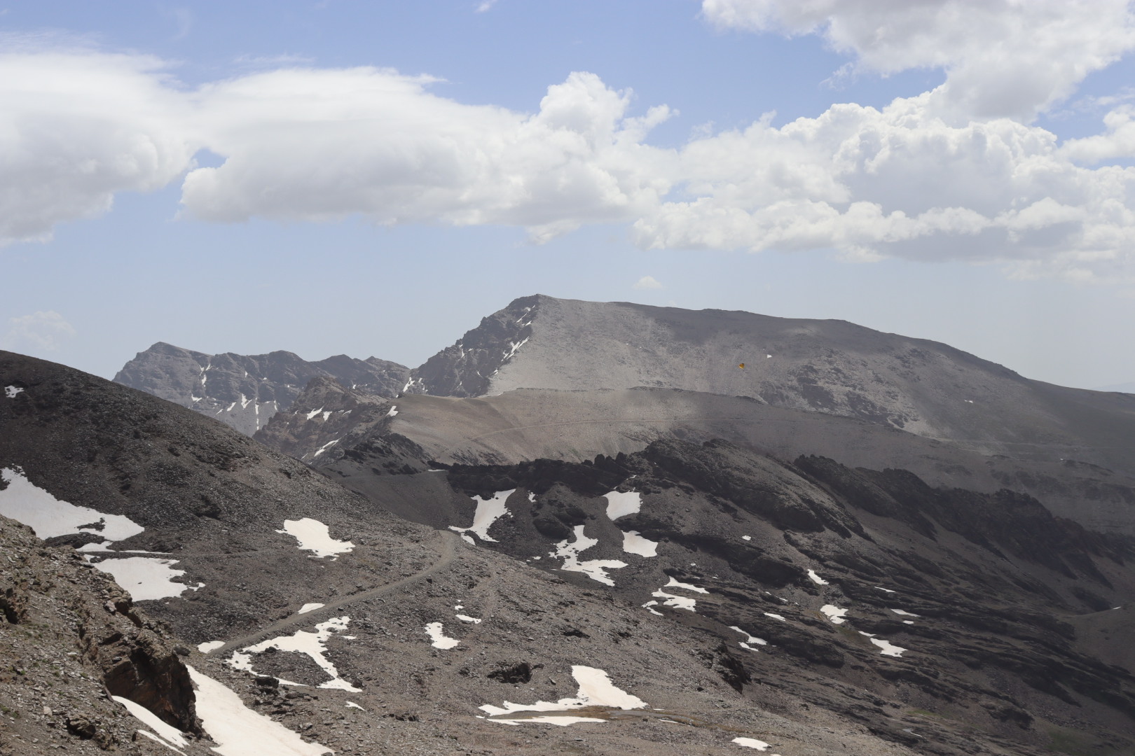
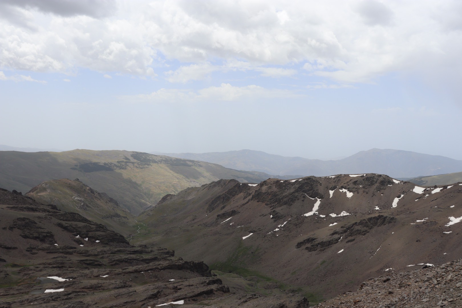
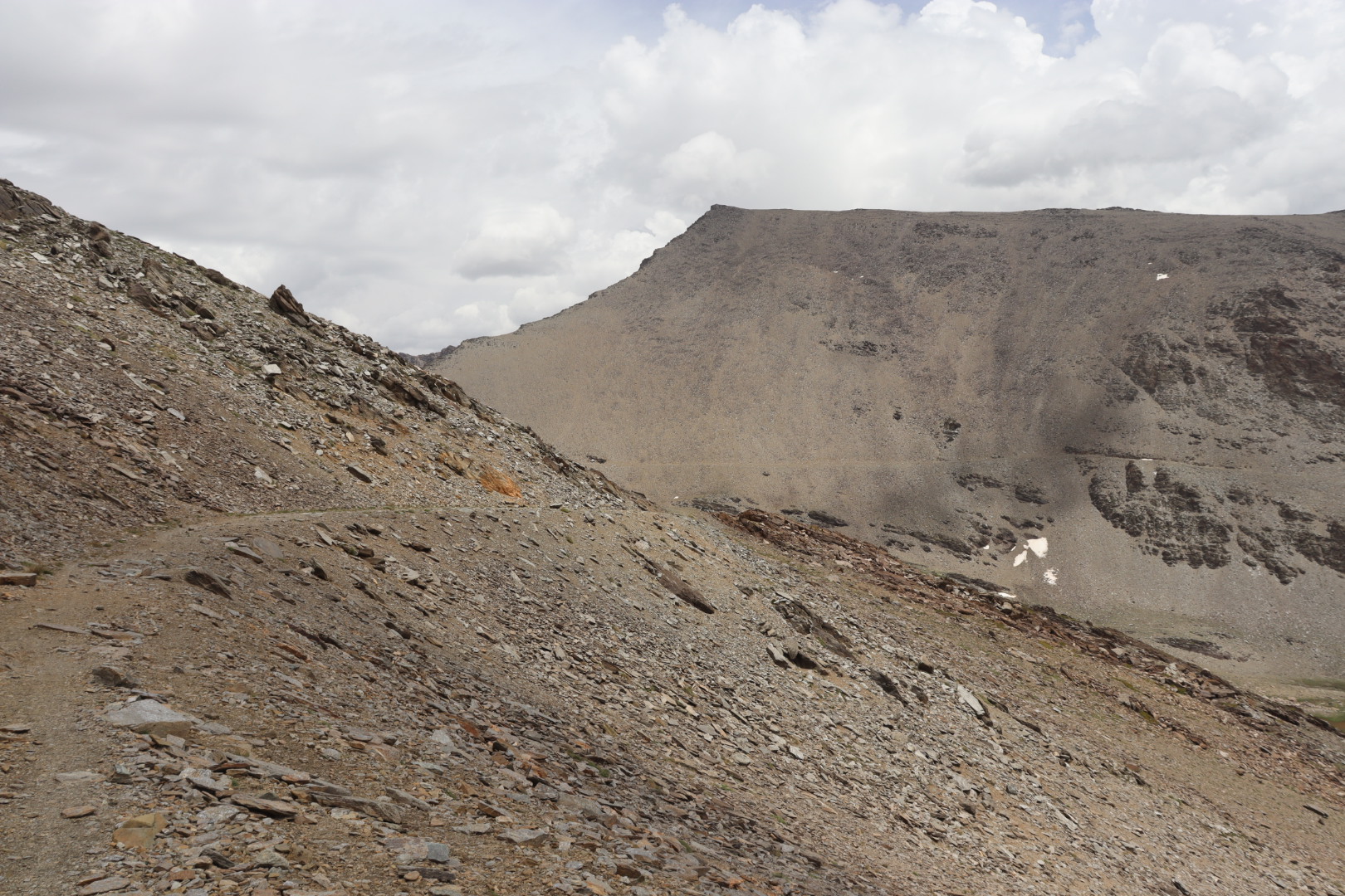
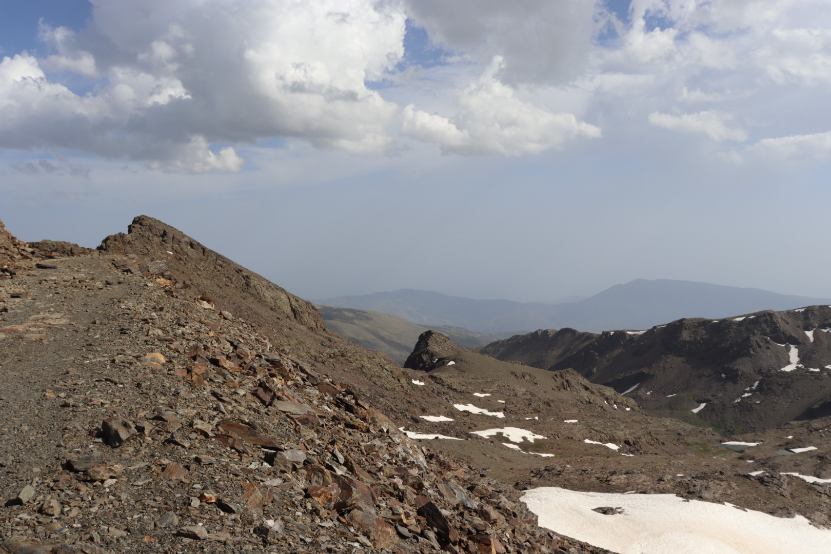
The remaining four hundred meters ascent cannot really be called difficult, notably from the western slope. The difficulty could be attributed on the whole merely to the sheer length of the tour and to the summer heat, it is obvious that there is no vegetation providing any shade. The good news is along the way there are lots of water sources to be found, yet to what degree some of those sources are fed by melting water I can’t tell (in late July or August water might be more of a concern).
I barely encountered fellow hikers during the day, but once more I was lucky to make a new friend while resting on the peak, a young Spaniard who was sharing my enthusiasm for the outdoors and for photography.
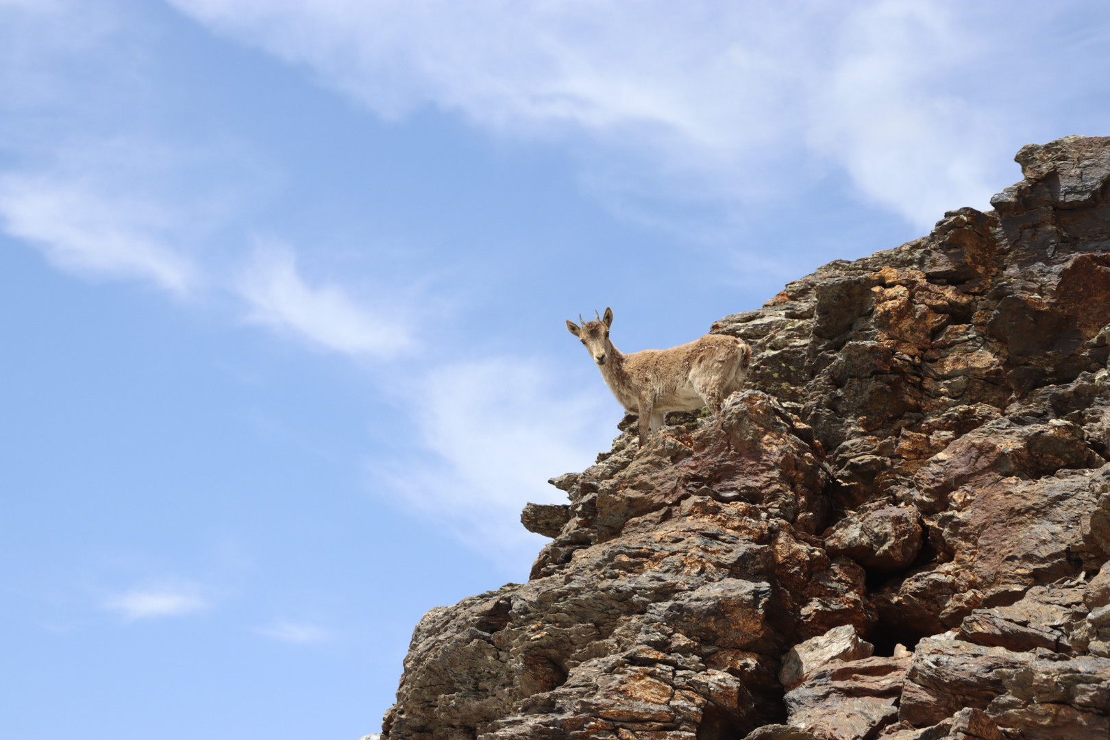
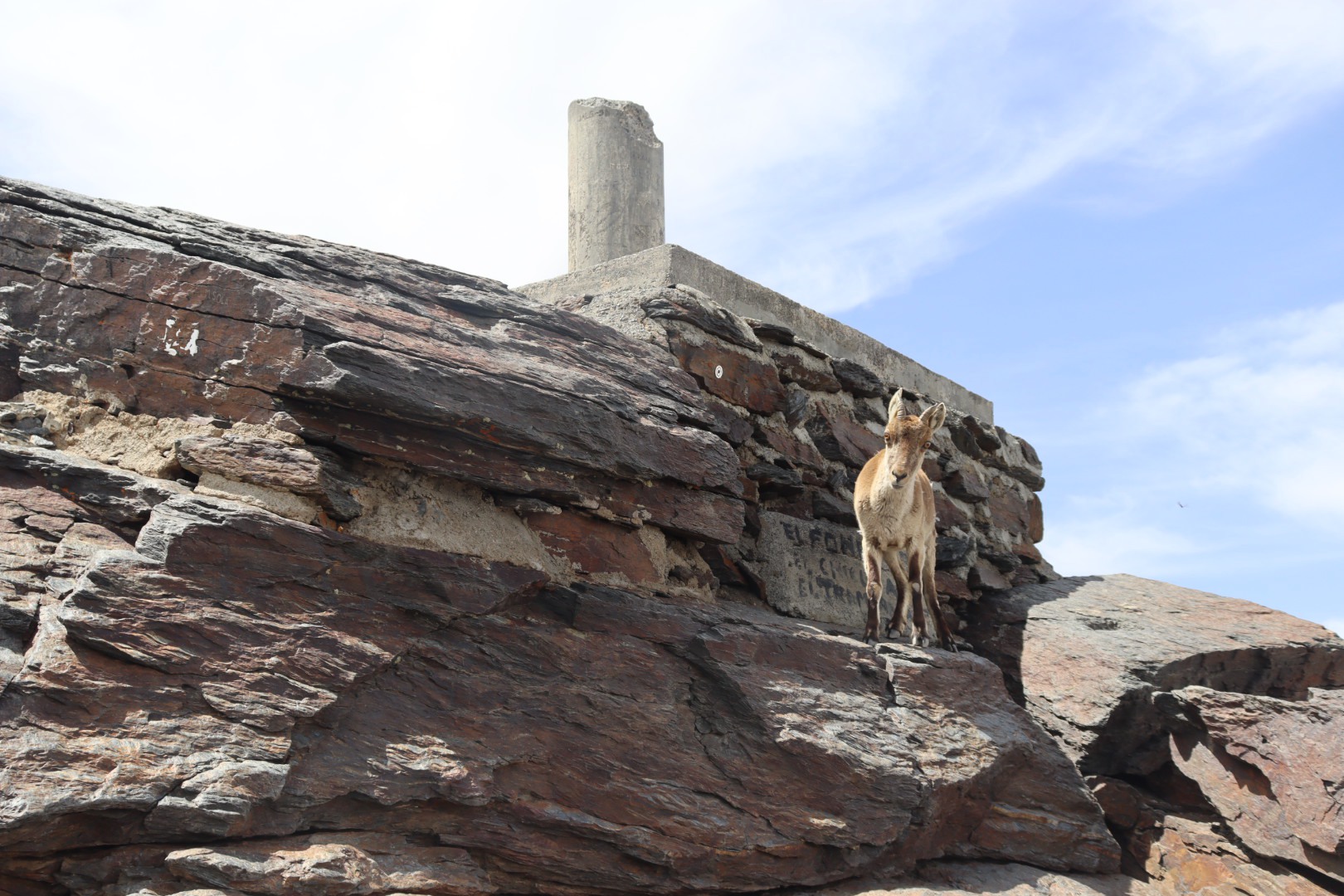
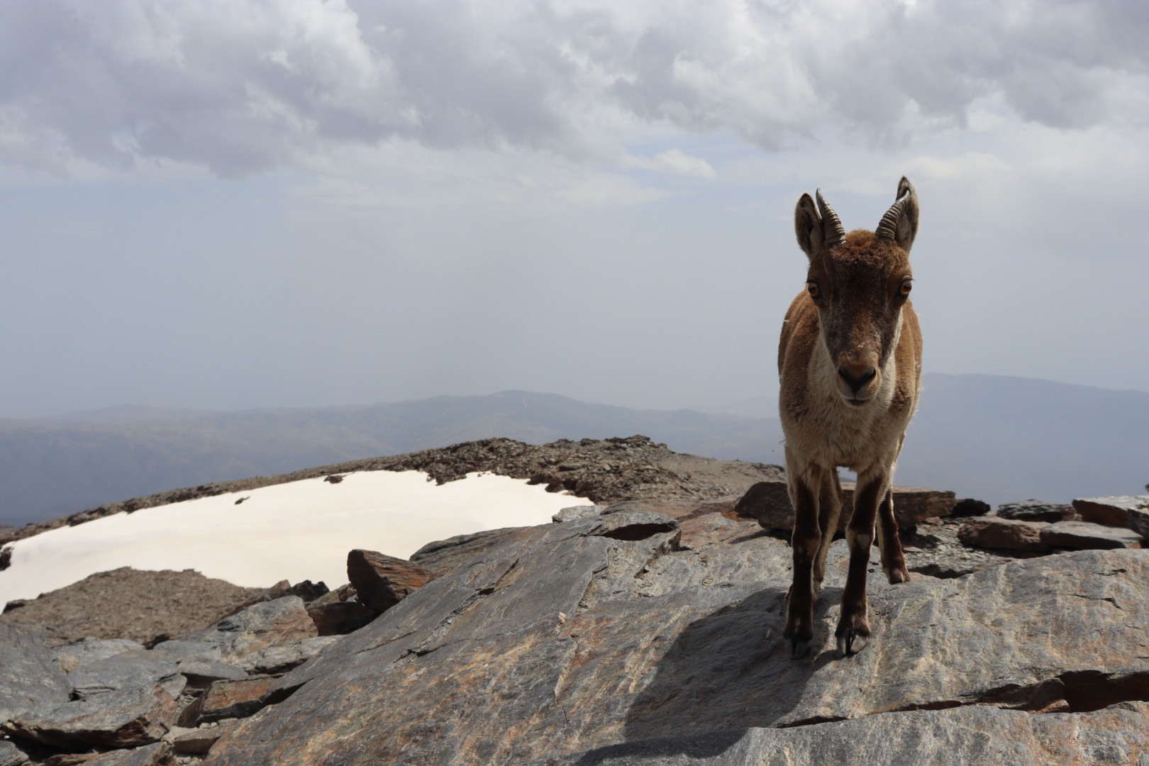
Numerous were the deer-like animals I could watch from a distance and also from closer range, many accompanied by their offspring. I do not think they are called chamois here, I am not exactly sure (Ibex I think is the correct name). They are timid, but if you just sit there and aren’t moving a lot they might get curious and approach you, especially, it appeared to me, when you’re unpacking food.
To sum it up, an absolutely stunning mountain tour to a magical place sure to be repeated, be it on the way described here or be it by using the southern entrance points to the Sierra Nevada.
Photo gallery

Footnote
1 supposedly, there is also a bus operating that goes even further up, but I’ve never seen one – I recommend contacting the tourist office in case you’re interested in this service; Pradollano itself is mostly in hibernation during summer, for the Sierra Nevada is essentially a skiing region