Introduction
The Dolomites are a mountain range I’d never visited before, though Northern Italy is not really far off from my hometown in Bavaria: with the Eurocity connection about four hours from Munich to Bolzano, or five and a half hours to Verona.
As someone who hiked and climbed (more or less) exclusively in the High Tatras in Slovakia in the last two years, the difference in appearances of those two mountain ranges is striking.
In the Tatras you have entirely magma type rock, called granite. In the Dolomites you have a mixture of dolomite (the mountain range got its name from the mineral) and limestone, that means, in simple terms, minerals formed millions of years ago as the Alps had been an ocean bed.
The Dolomites possess scores of peaks well over 3000 meters AMSL (Above Mean Sea Level; every height stated below is AMSL), although none above 4000 meters sea level, the highest being Marmolata with 3343 meters.
Through the Dolomites ran one major frontline of the 1st World War. Between 1915 and 1917, the Austro-Hungarian army fought a gruesome (yet more or less successful) defensive battle in high altitude mountain areas against Italian troops.
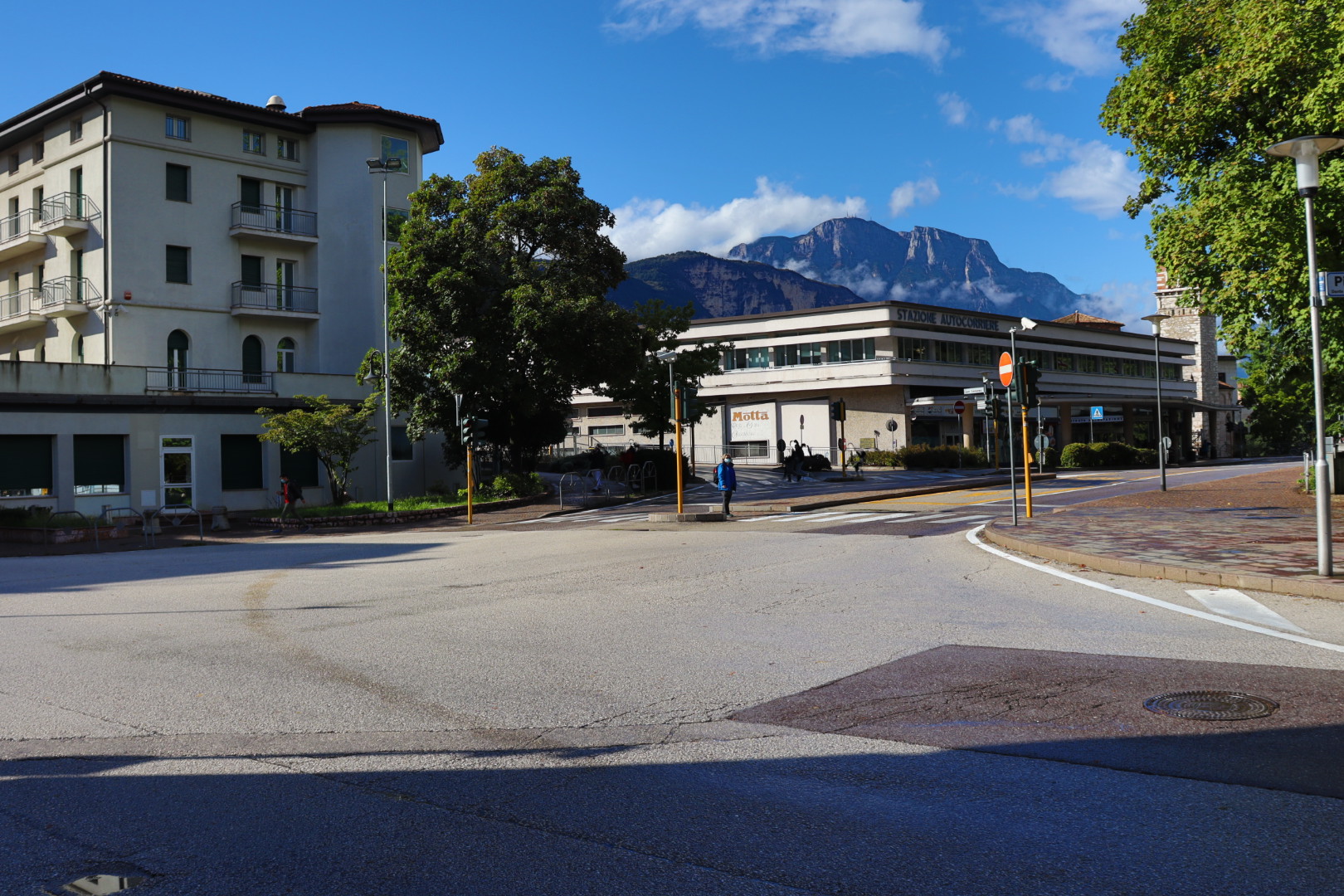
Some of the disused bunkers and fortifications can be visited around the city of Trento (Trient) where I had the pleasure to spend a couple of days.
Sentiero di San Vili, October 4
The Sentiero di San Vili (Path of Saint Vigilius of Trent) is a long distance trail boasting a length of more than one hundred kilometers, connecting Trento with the town of Madonna di Campiglio and circling the Brenta Group of the Dolomites (the highest peak in the so-called Brenta Dolomites is called Cima Tosa with 3173 meters).
I walked the part between Trento and the lake Lago di Lamar, then back to my starting point, a distance that eventually summed up to about thirty kilometers.
The weather was quite bad on this early October day, and I was hiking in my raincoat the entire morning and in the afternoon as well. But I considered a fair amount of discomfort actually a good thing, and enjoyed the silence and the solitude in what is otherwise a frequented tourist region.
What makes this tour interesting beside the nature are the numerous 1st World War fortifications, disused bunkers and artificial caves to be found along the way. I was able to explore quite a lot of them and felt excited like a little boy doing this.
Taking a sober glance, those forts appear rather like a bizarre anachronism and not as somewhat useful devices in a technologically advanced war that was fought just hundred-odd years ago.
At my turning point, the Lago di Lamar on 714 meters, it would have been possible to take a short bath in the lake. I neglected this opportunity, because it was a little too cold and I was already wet enough.
Monte Calisio, October 5
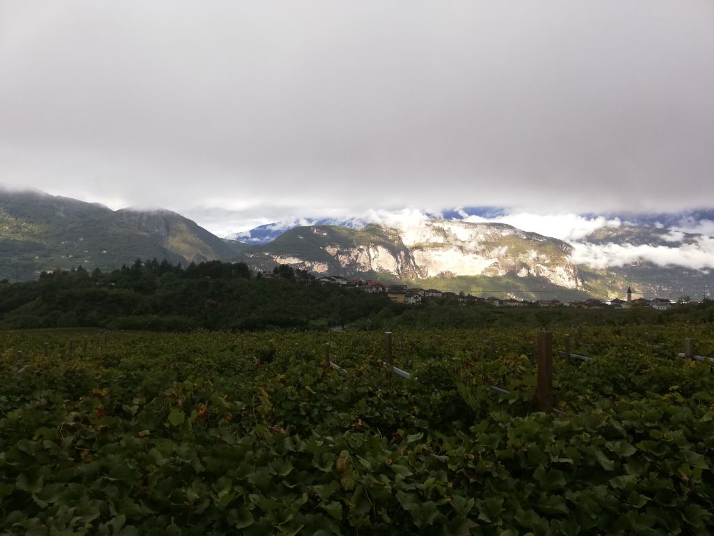
Monte Calisio is a mountain of 1096 meters height, lying eastwards of Trento.
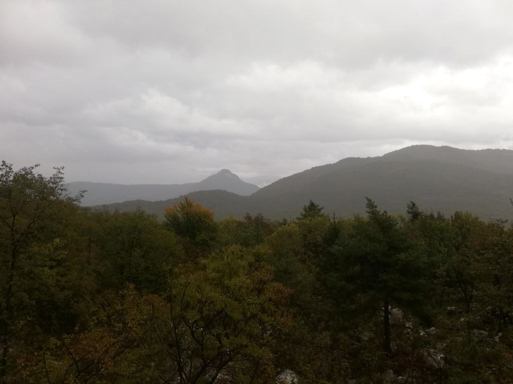
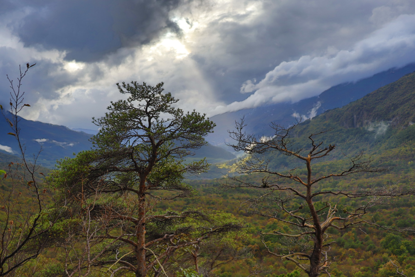
The view onto the magnificent limestone formations of the Dolomites during the ascent is very nice, so I stopped on many occasions for taking photos.
To get to the peak, I had to negotiate around nine hundred meters of altitude difference. The tour is demanding at times, and the footpaths are quite steep. Nonetheless reaching the peak takes just around three hours.
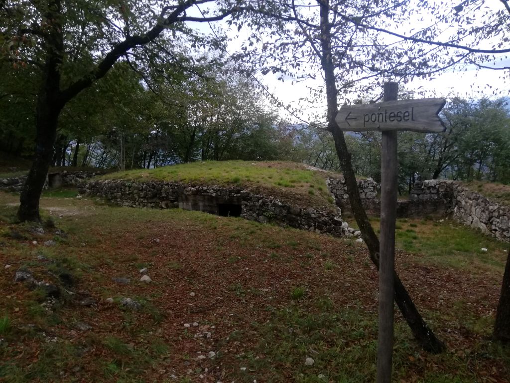
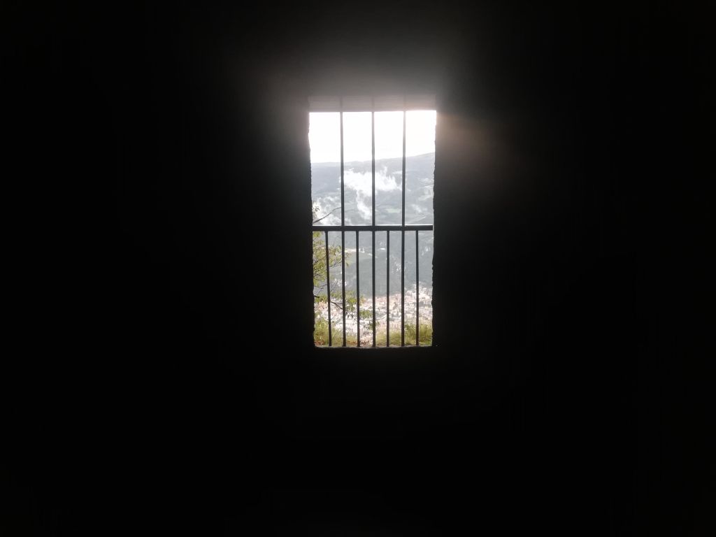
Around Monte Calisio, you can find many relicts of the 1st World War. In fact, it is all but impossible to miss them, such as the “Forte Casara” on 896 meters.
This fort was built in the late 19th century by Austria-Hungary, to which the area belonged until 1918. It is only a ten minutes march away from Monte Calisio, if you choose to descend towards the town of Montevaccino.
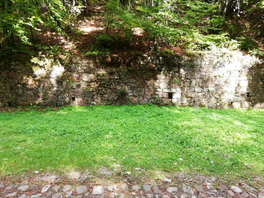
I couldn’t figure out whether that fortification was ever involved in major defense battles, but the walling looks kind of intact and well-preserved. I suppose it saw never any fighting and was just abandoned shortly after the armistice agreements.
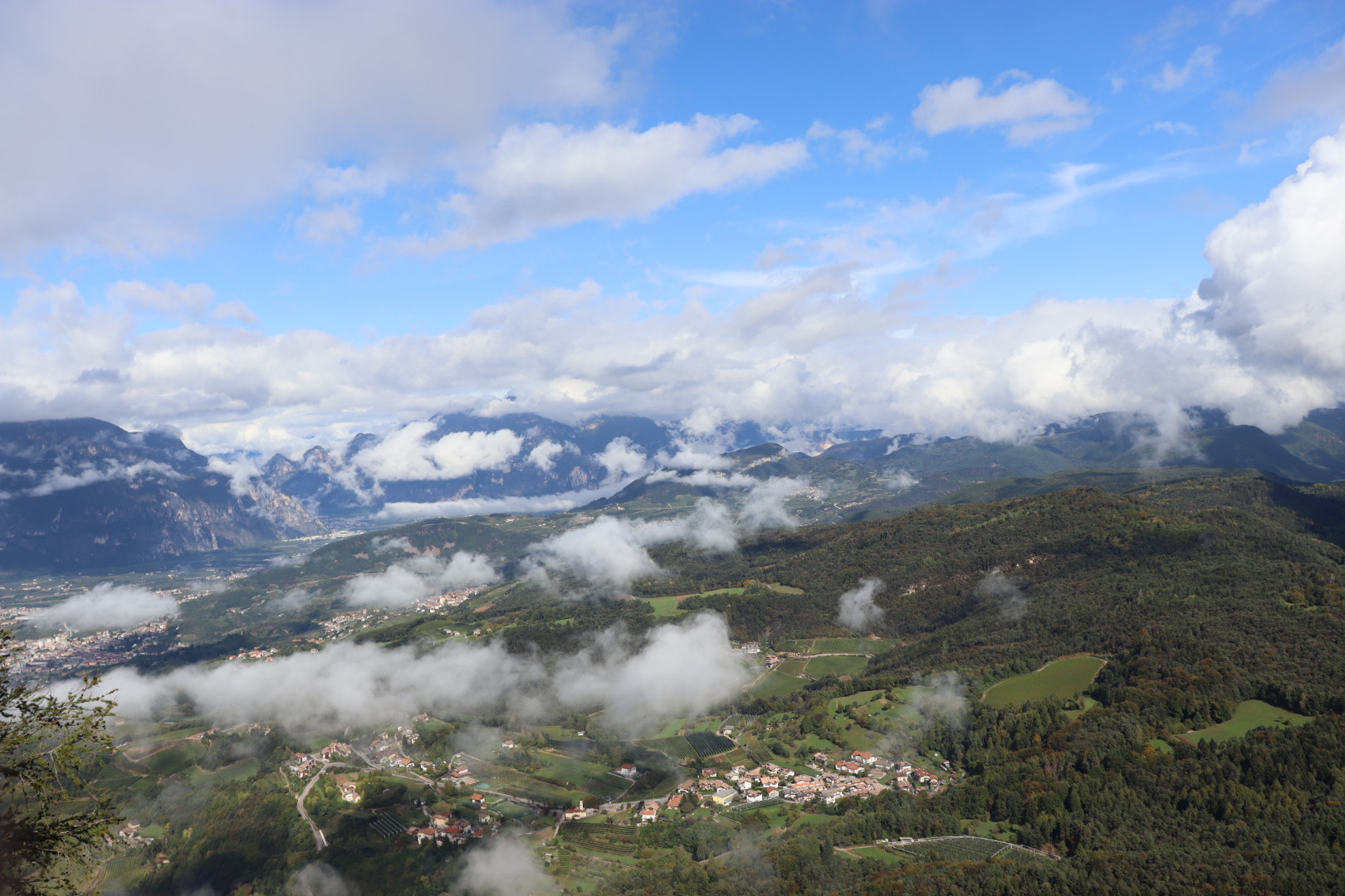
In Montevaccino, you have again this great view of the surrounding country, but without having it obstructed by a dense forest as in some sections during the descent from Monte Calisio.
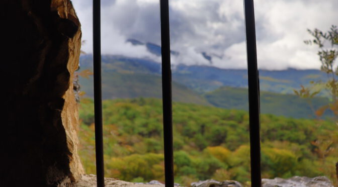
Featured image: View through a barred window in the Fuciliera austriaca