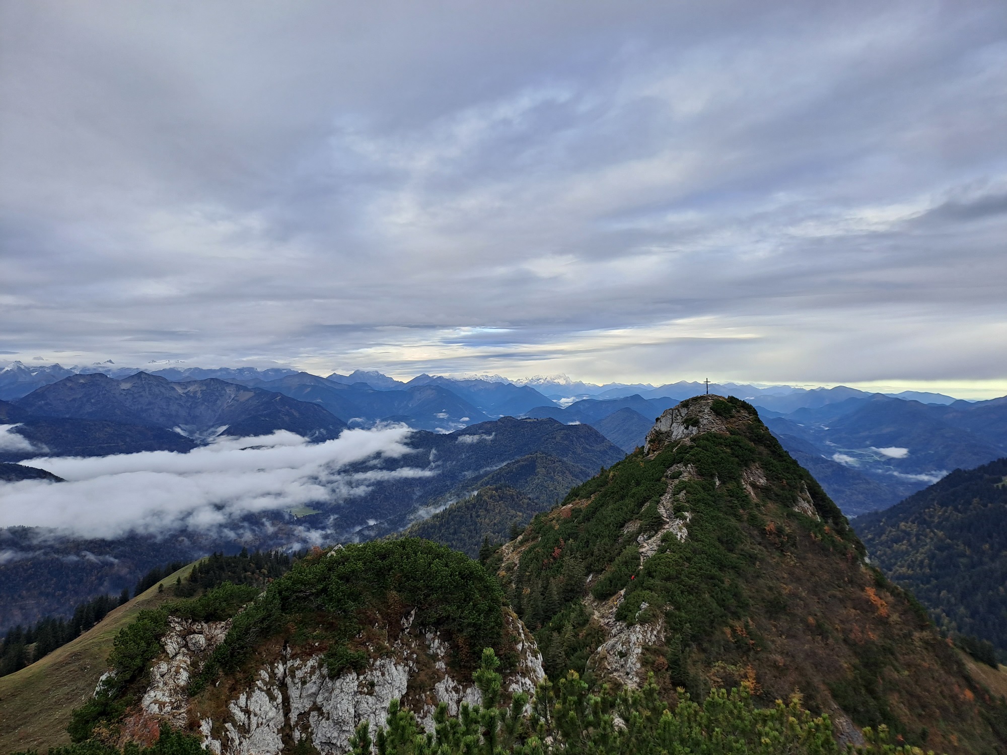
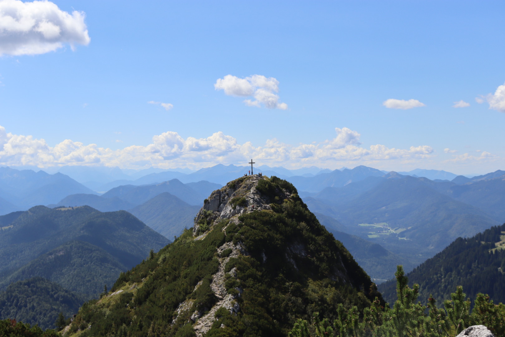
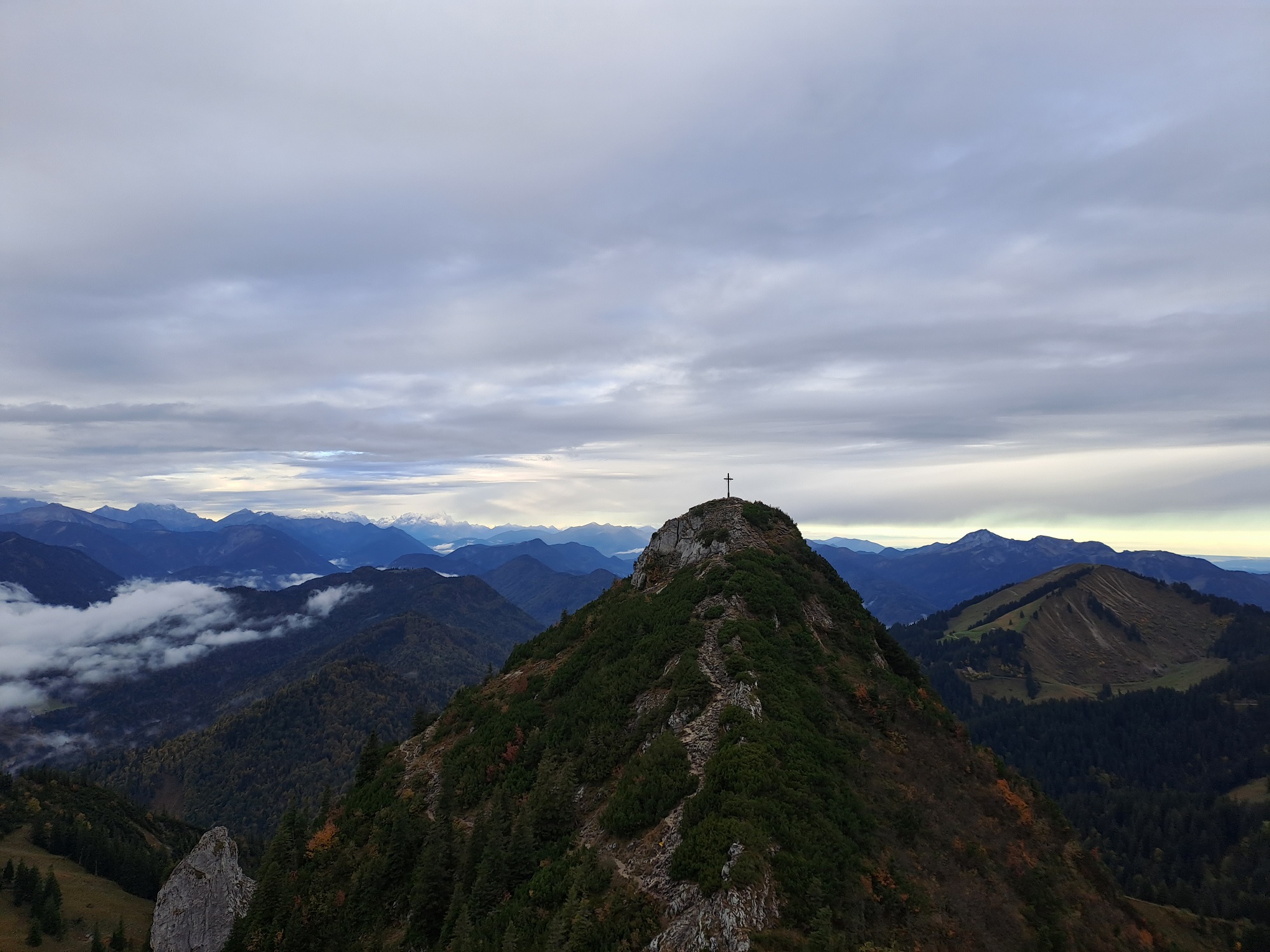
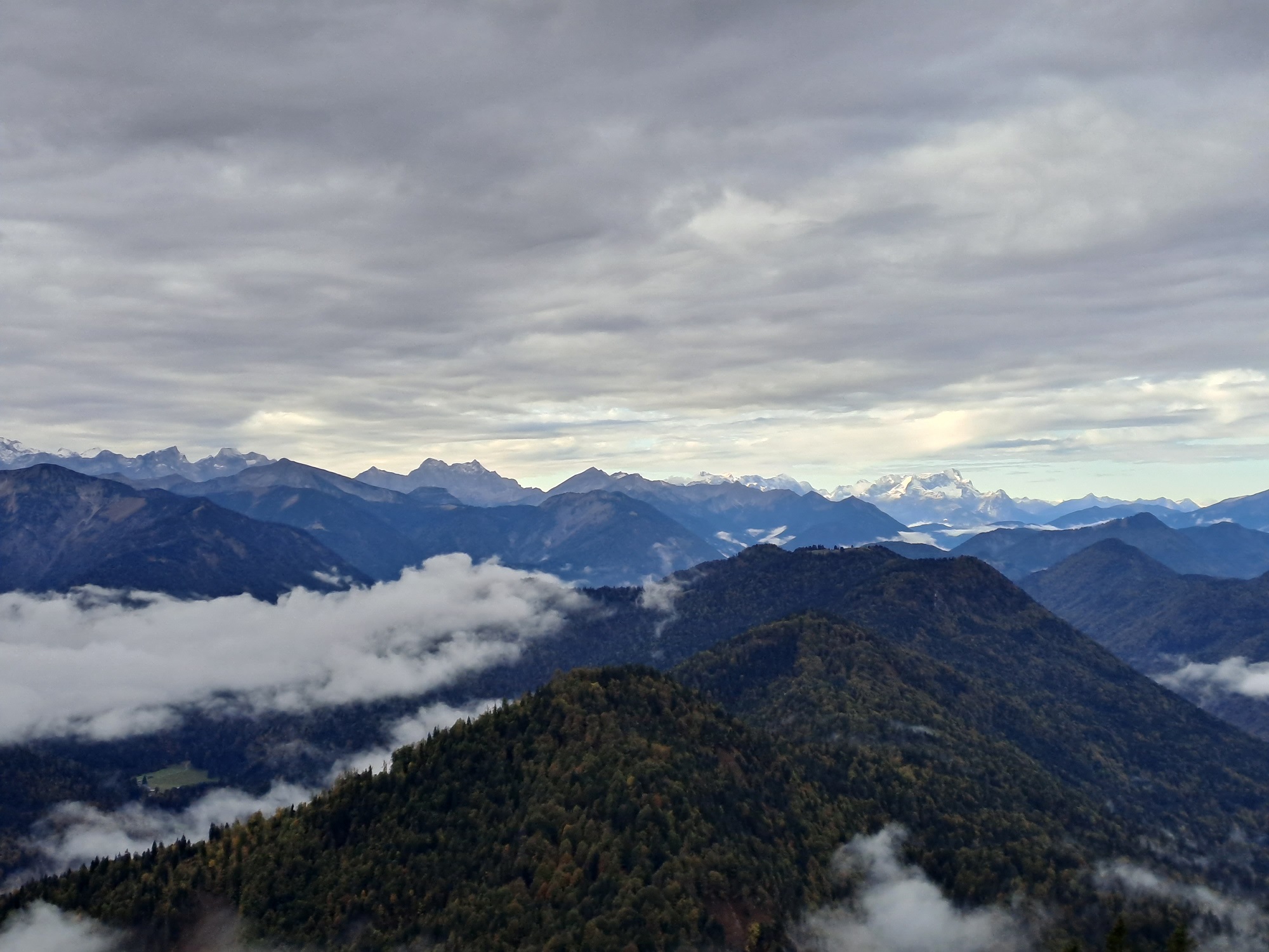
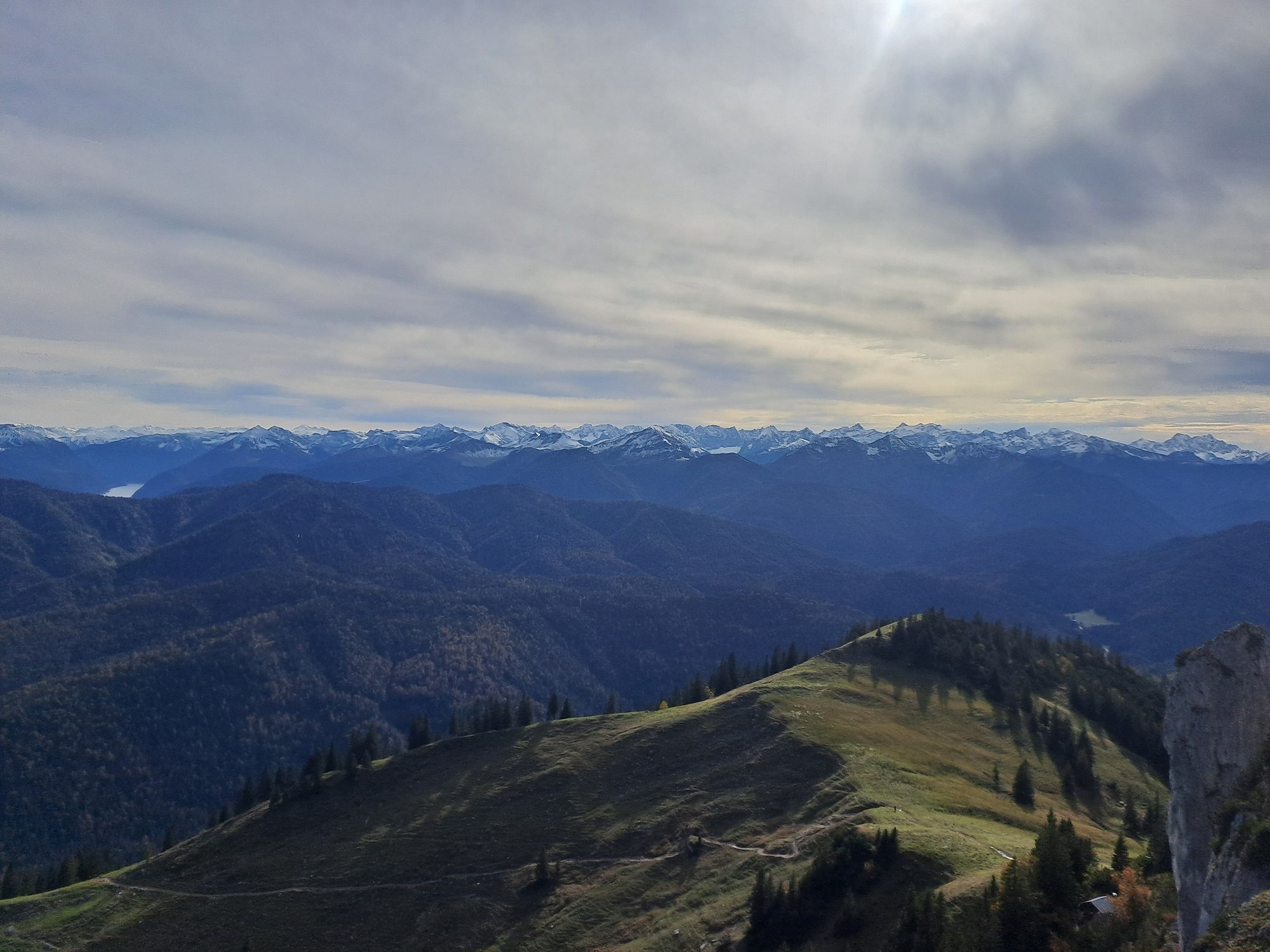
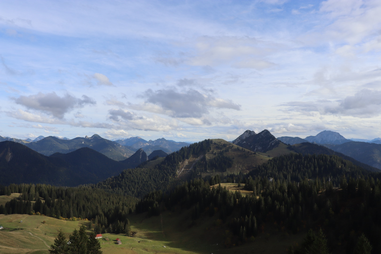
Description
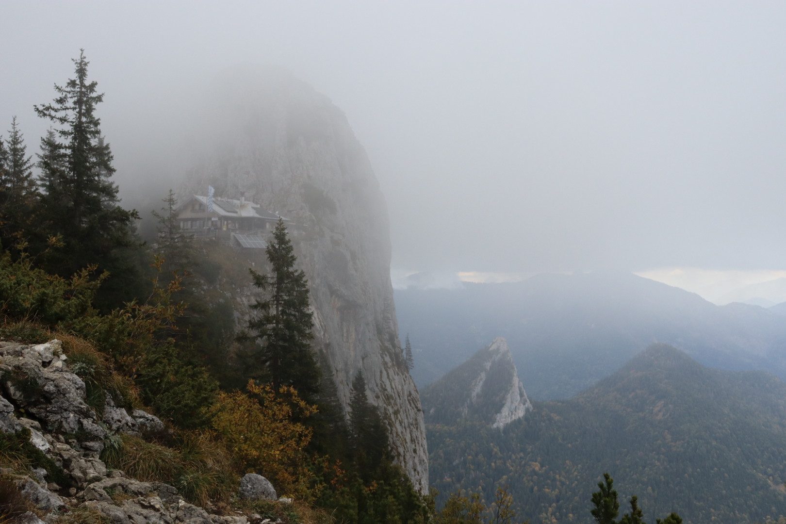
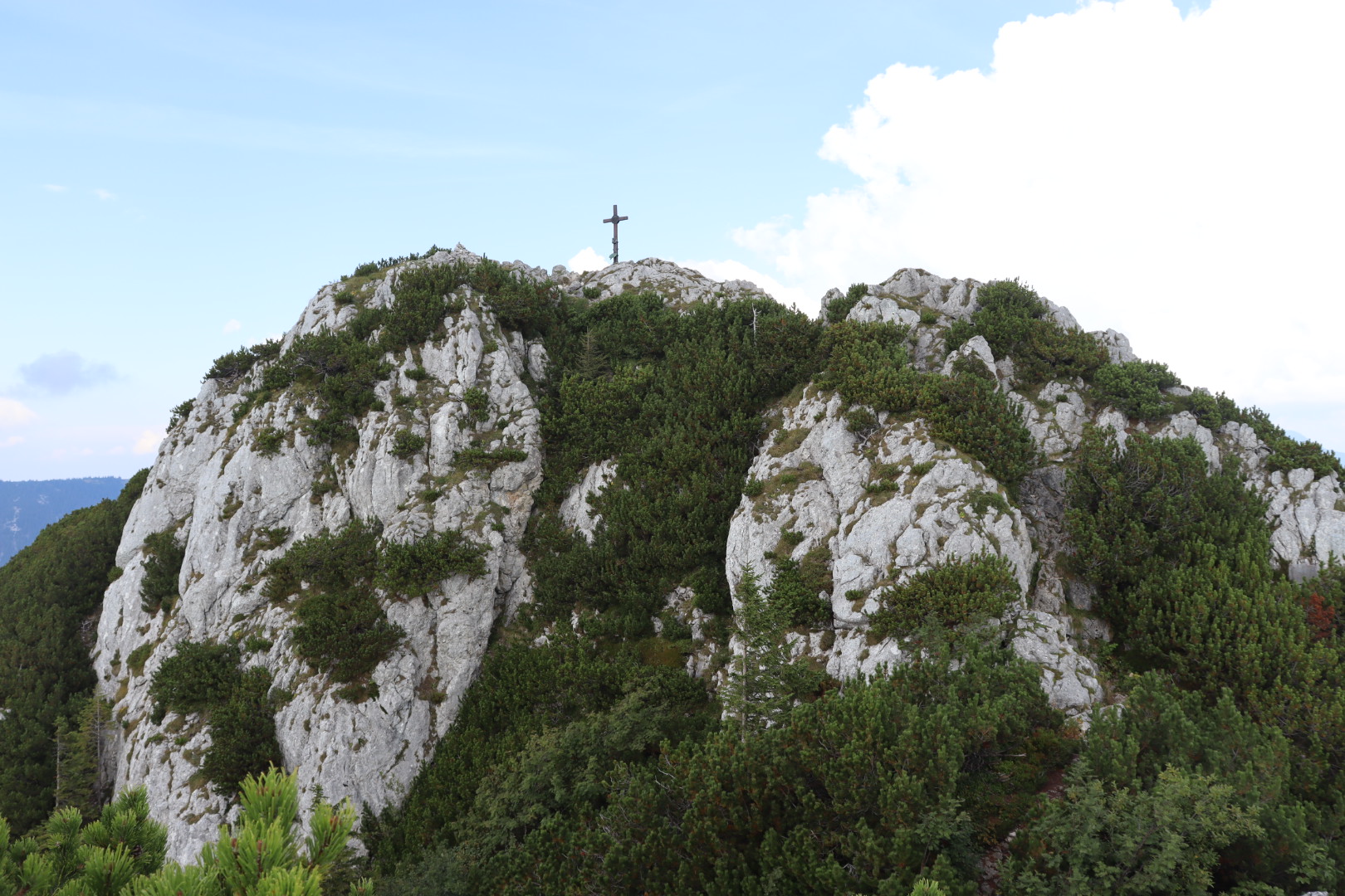
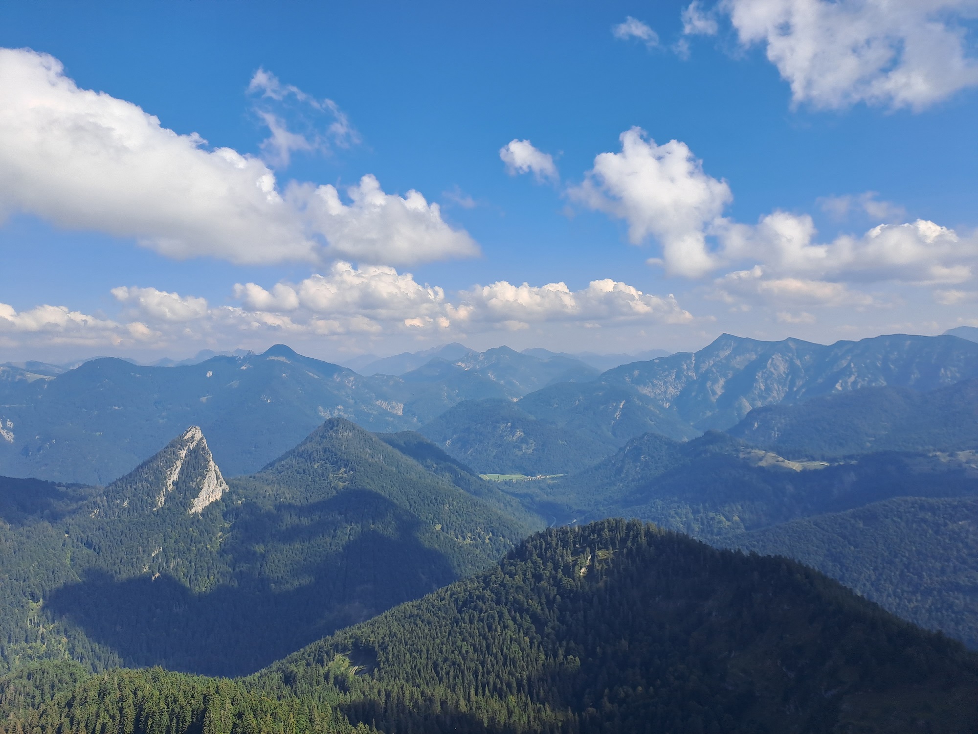
Hiking tours (in summer and autumn) from Lenggries (679 meters AMSL) to Buchstein (1701 meters AMSL) via Lenggrieser and Tegernseer Hütte.
Photos and video
Map, Topography
Notes and recommendations
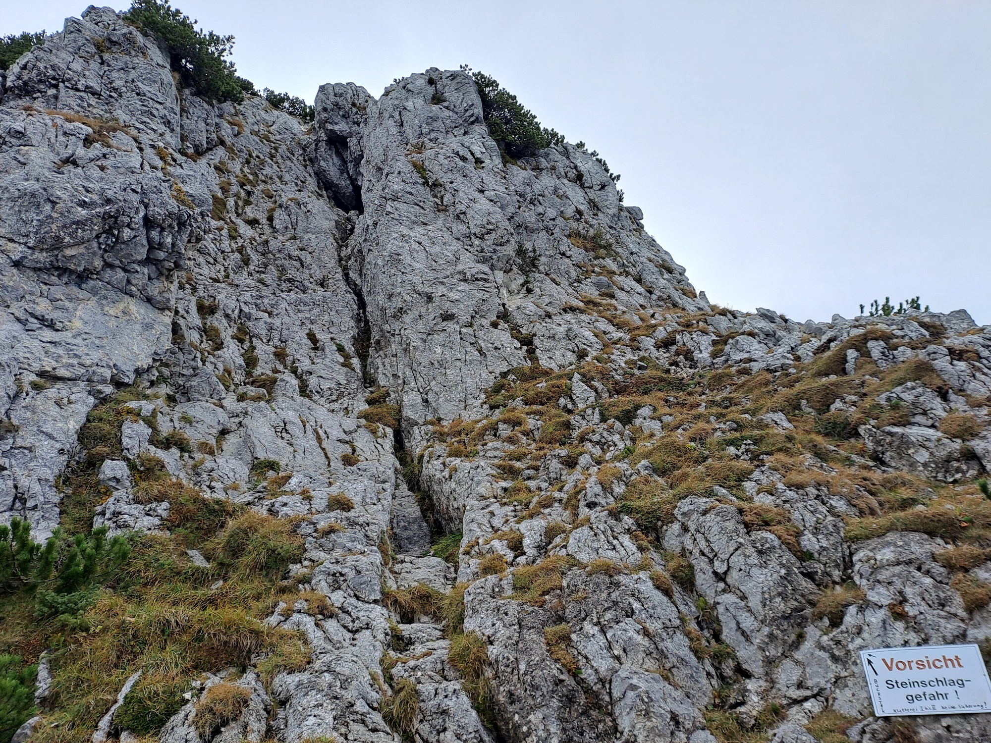
The last portion of the ascent to the Buchstein peak includes a climbing section about 40 meters high (“Rinne”). I highly recommend doing it only in reasonably dry conditions.
I would also recommend wearing a helmet, especially when there are many people ascending on a given day.