Description
Hiking tours from Zans (Rifugio Zannes, 1680 meters AMSL; parking lot and bus stop) to Sass Rigais (3025 meters AMSL) via Mittagsscharte (2597 meters AMSL), descent on the same route.
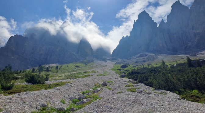
Sass Rigais is a mountain located in the so-called Geislergruppe in the Dolomites in South Tyrol, Italy.
Photos and Video
November 2024

")
")
")
July 2023


")
")
Map, Topography
Notes and recommendations
This tour is moderately difficult in sections (B/C via ferrata), so climbing experience is mandatory.
Though you can do without it (and I’d seen quite a few people going without it), I recommend wearing a helmet and a via ferrata set/harness from the Mittagsscharte on.
A big red dot painted on the rock marks a via ferrata section; the more demanding via ferrata sections are at the beginning, near the peak it gets a little easier.