Table of contents
1. Introduction
From my childhood on until my early 20s, I had been struggling with chronic diseases such as inflammation of the middle ear and bronchial asthma.
These diseases made participation in social activities often a torment during a good deal of my teenage days and I became somewhat a loner in school, developing disagreeable mannerisms which were hard to get rid of in later stages of my life.
My lung was the principal Achilles heel, coughing fits and severe dyspnea in the summer months due to allergic reactions an all but daily curse. The nights weren’t much better when I had an acute fear of suffocating, hence getting not much sleep if any.
So the idea of doing things like endurance sports seemed utterly preposterous back then, though I had actually great interest in athletics and, of course, in ball games (I was a quite decent runner and football player in school despite being constantly short of breath, as a matter of fact).
Yet from my late teenage days on my lung problems gradually vanished for reasons that weren’t so clear to me. I presume there had been several factors at work, which as it were forced my fragile lungs to invigorate:
I replaced the time in front of the computer screen and the TV measurably with time on the football ground, and with simple outdoor activities like small cycling tours.
A big contributor was evidently the aging process itself. I had outgrown what was for a great part an obvious kinderkrankheit.
And I started with long distance-running in summer 1999 after completing conscription and accomplished my very first half-marathon in the following year, after I got my hands on literature about a subject-matter I wasn’t familiar with at all.
Self-apparent was climbing or hiking in the Alps, since I grew up in the west of Munich (my first “real” mountain I ascended was the Trainsjoch in the Mangfallgebirge with the age of twenty-one). Two decades later I am still doing and enjoying this activity without having any troubles with my respiratory system.
2. Karwendel mountain range
In comparison with other tourist destinations in the Alps (Alpen), the Karwendel mountain range (Karwendelgebirge) is a rather low-frequented and pristine area.
The largest part of this Alp region is situated in Austria (Tirol), but Bavaria also has small shares in the mountain range and in the Naturpark.
Except for one small village is the south-east, there are no permanent settlements. But tourists can rely on a network of refuges and cottages along all trails as like in other popular mountain ranges.
The highest summit in the Karwendelgebirge is the Birkkarspitze (2749 meters AMSL, i. e. Above Mean Sea Level; every height stated below is AMSL).
2.1 Wörner Sattel, June 19
The Wörner Sattel, a mountain saddle with a peak elevation of 1989 meters, can be reached in around four hours from the town center of Mittenwald (912 meters).
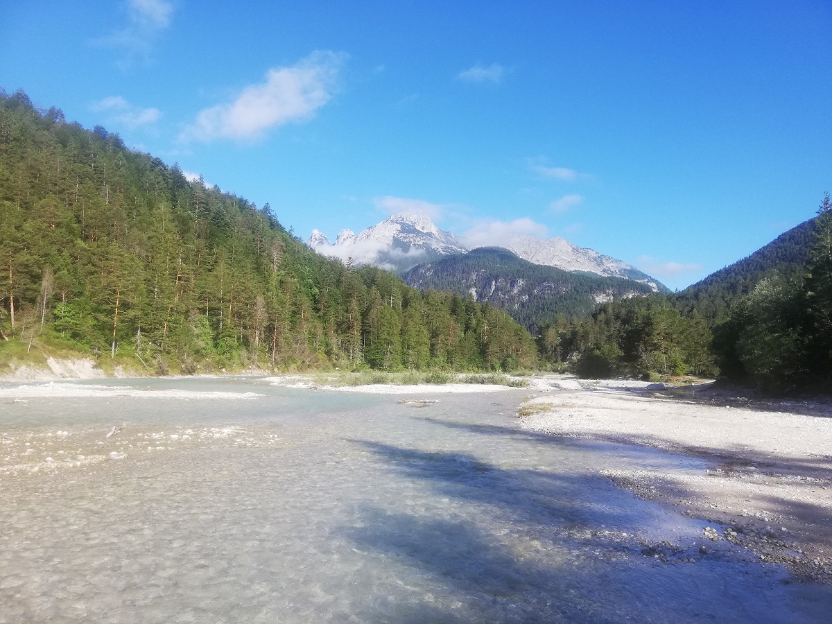
The actual trail head is merely a few hundred meters away from the train station, located at the river Isar and two kilometers short of the Austrian border. The Isar has its source in the Karwendel (“Isarursprung“), a place that I’d already visited one and a half decades ago with a good friend of mine (for this we needed four-odd hours one-way from Scharnitz).
You can easily shorten or extend the duration of your tour to the saddle (or the Wörner peak, respectively) by switching between the several footpaths that are existing here.
Remainders of the last winter obstructed my way and obliged me to take a detour on one occasion during the descent, but neither the descent nor the ascent were otherwise difficult.
Water and supply of food are not a problem. There are plenty of water sources along the way, and you can have a snack at the Hochlandhütte on 1630 meters, or at the Vereiner Alm on 1400 meters when the descent is accomplished.
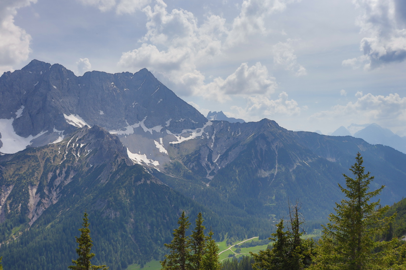
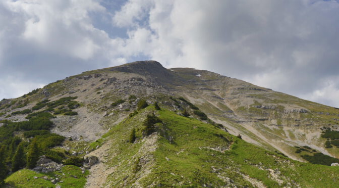
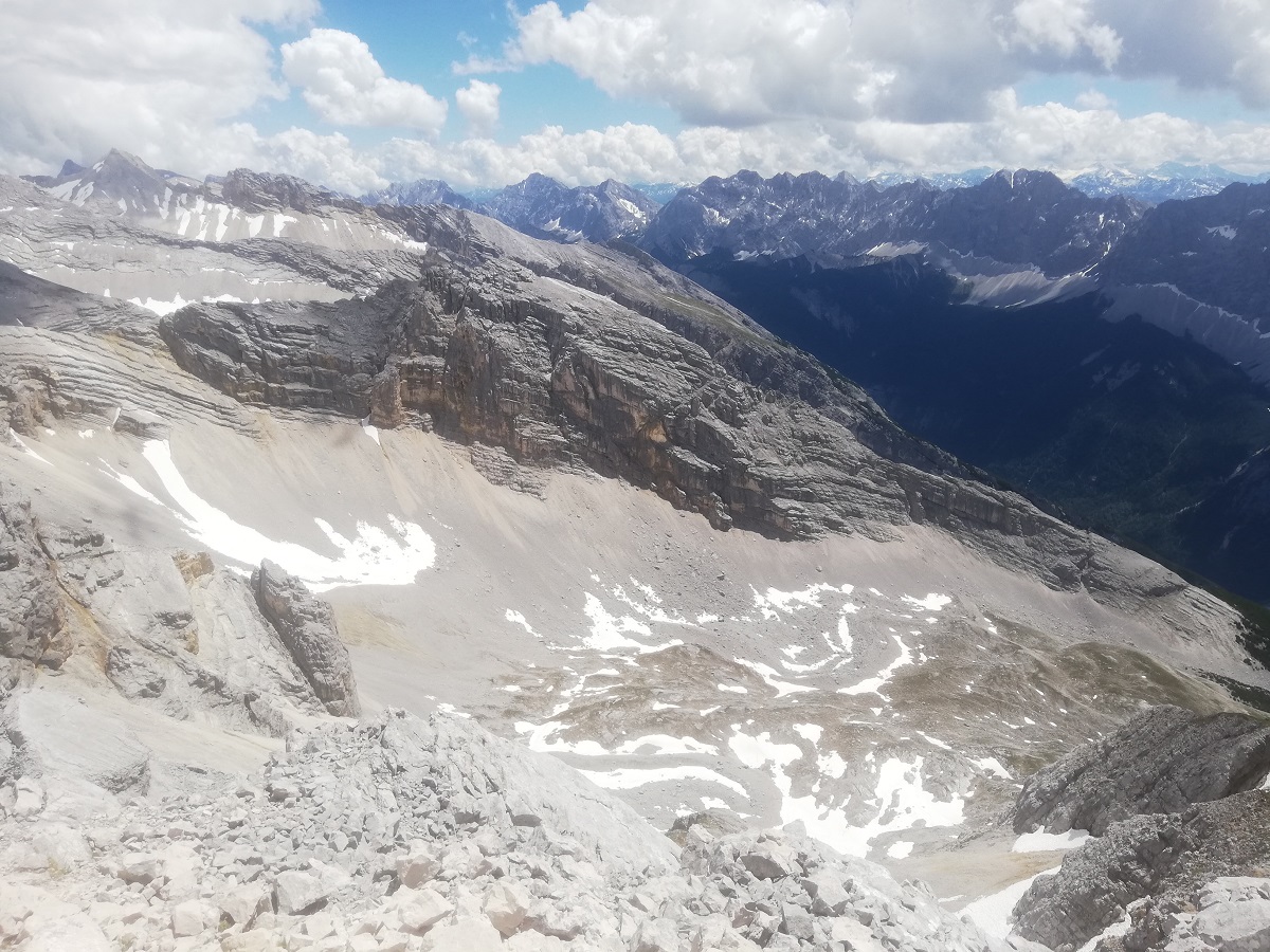
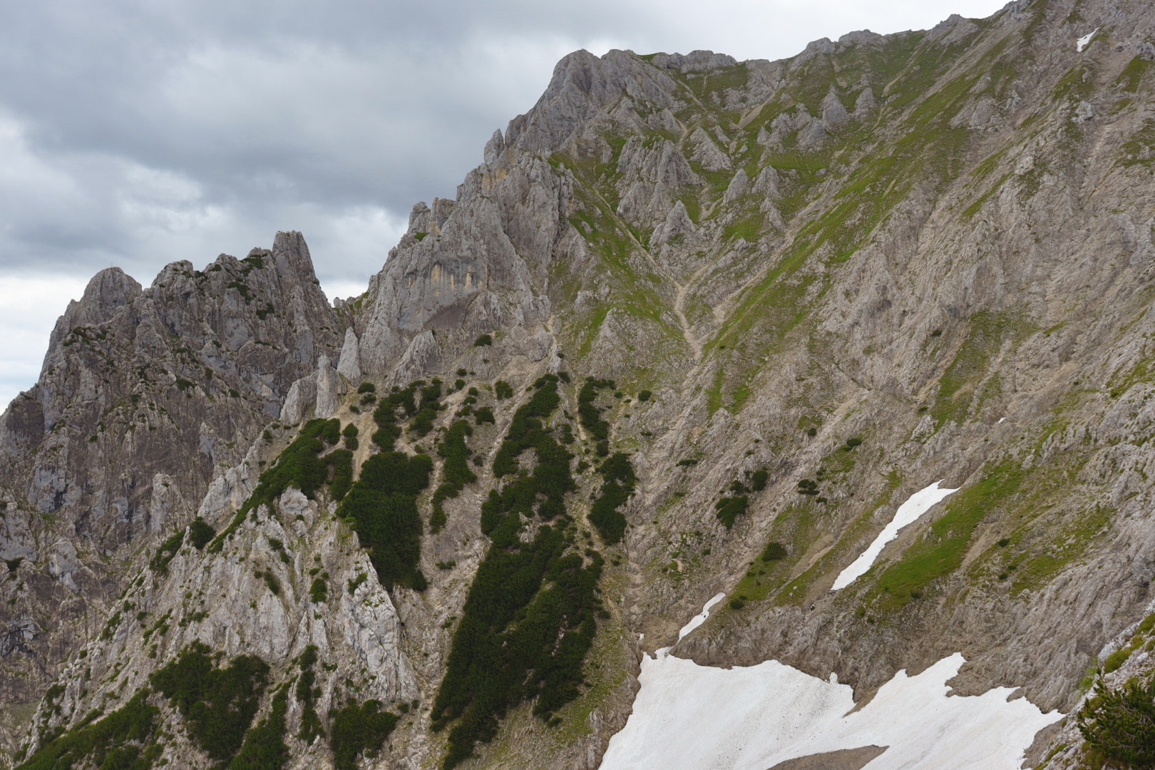
Instead of walking straight back to Mittenwald I decided to prolong my tour a good deal. From the Vereiner Alm you can ascend the Soiernspitze (2257 meters) in about two and a half hours, a sought-after subject for Alpine photographers.
I ascended this mountain not completely though, but to an exposed spot with a largely unobstructed view. Here I grabbed the opportunity for taking an extra photo of the saddle that I just had traversed a couple of hours before.
2.2 Pleisenspitze, June 26
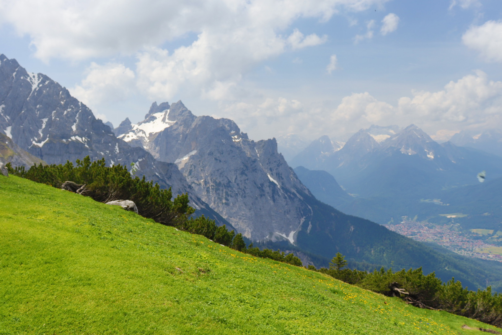
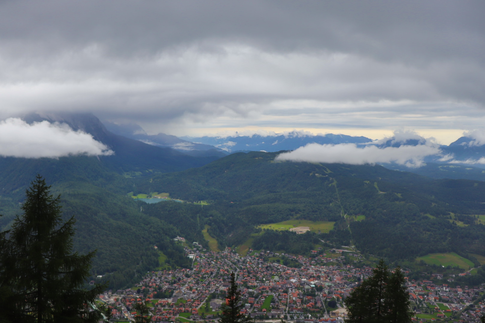
On the last weekend of June I located myself on a camping site in Scharnitz (964 meters), Austria, close to the Isar (Karwendelcamp).
Again I had to deal with oppressively hot summer days, but apart from that the conditions for conquering one of the summits in the surrounding area were fine.
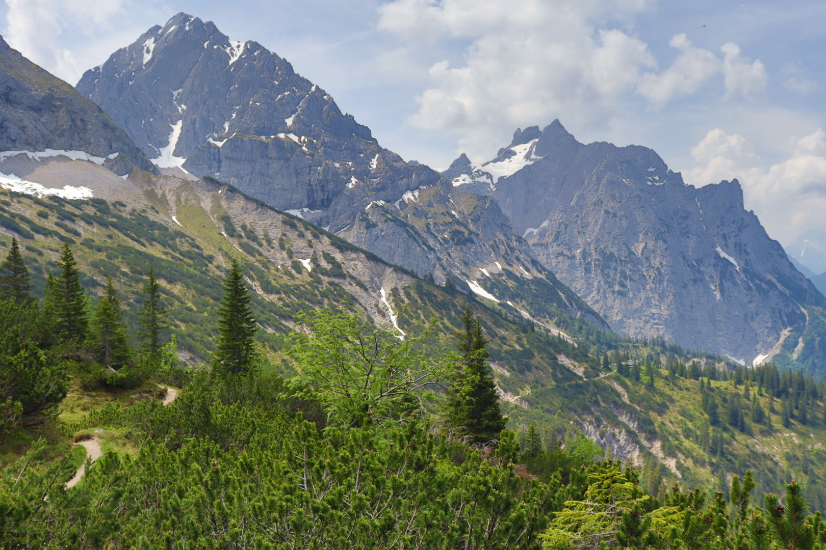
I decided to ascend the Pleisenspitze (2569 meters), a peak that offers a delightful view onto the western parts of the Karwendelgebirge.
Ascending took me four, descending three hours, not including a short break at the Pleisenhütte on 1757 meters. I recommend replenishing your water bottle here, because you search in vain for water sources on the remainder of the stony trail to the peak (melting snow to obtain water is a stopgap at best as that water lacks minerals and might be polluted).
Aside from the comparatively large elevation gain of 1600 meters, there are no real technical challenges along the way (i.e. steep sections with via ferrata) and the red marks of the trail are easy to follow.
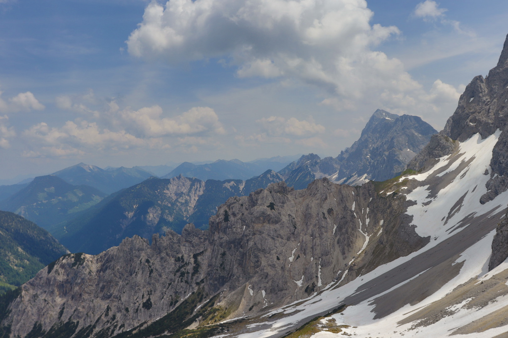
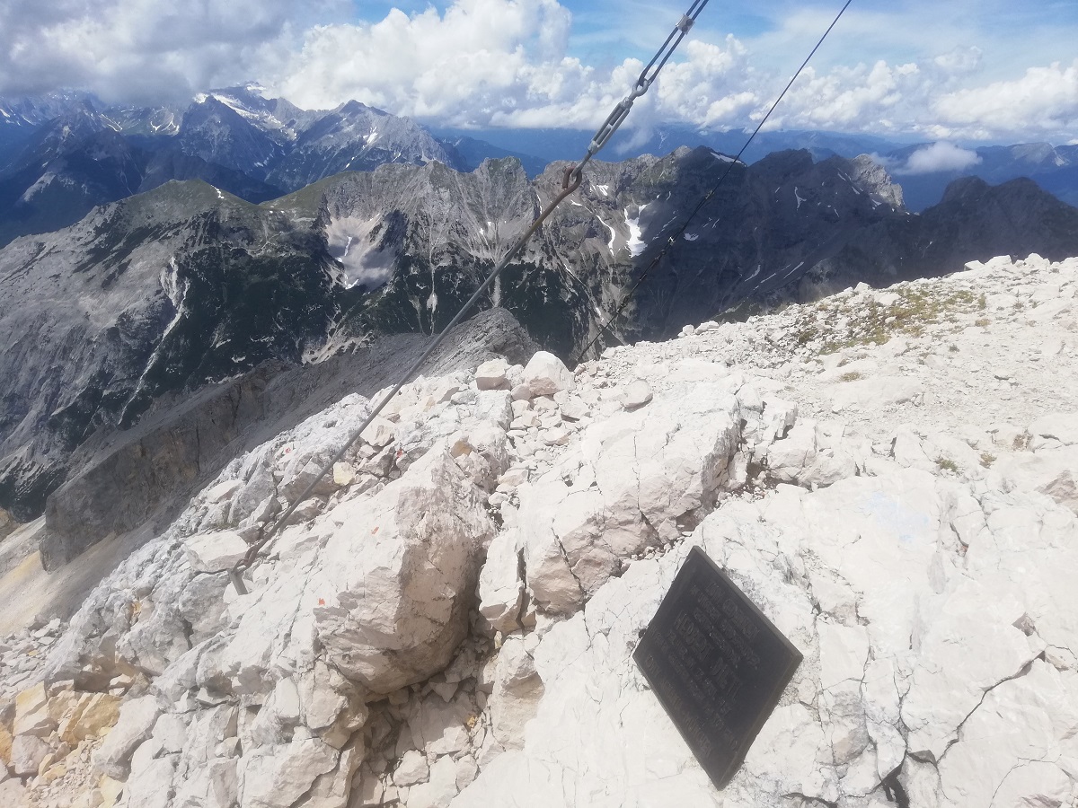
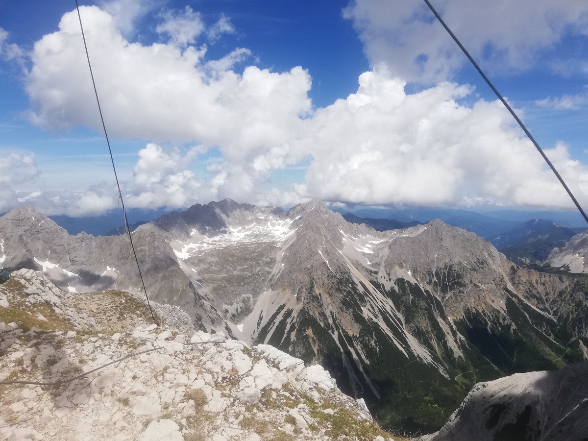
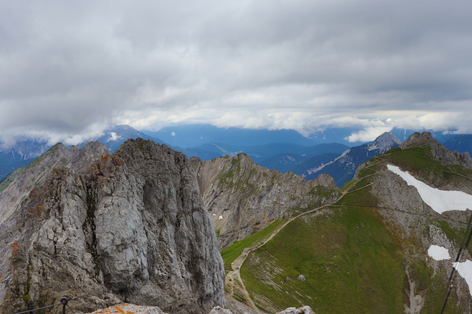
2.3 Westliche Karwendelspitze, July 8
The ascent to the Westliche Karwendelspitze via the Karwendelsteig is comparatively tough and should be done only when weather conditions are appropriate; a fair amount of experience in mountaineering is also mandatory, accidents are not so rare in this kind of terrain.
Furthermore, it should be at least midsummer because snowfields on the slopes tend to be very persistent.
It was rather rainy on this Thursday (that also happened to be my birthday), so I was on the brink of finishing my tour prematurely and without getting a nice view from the summit.
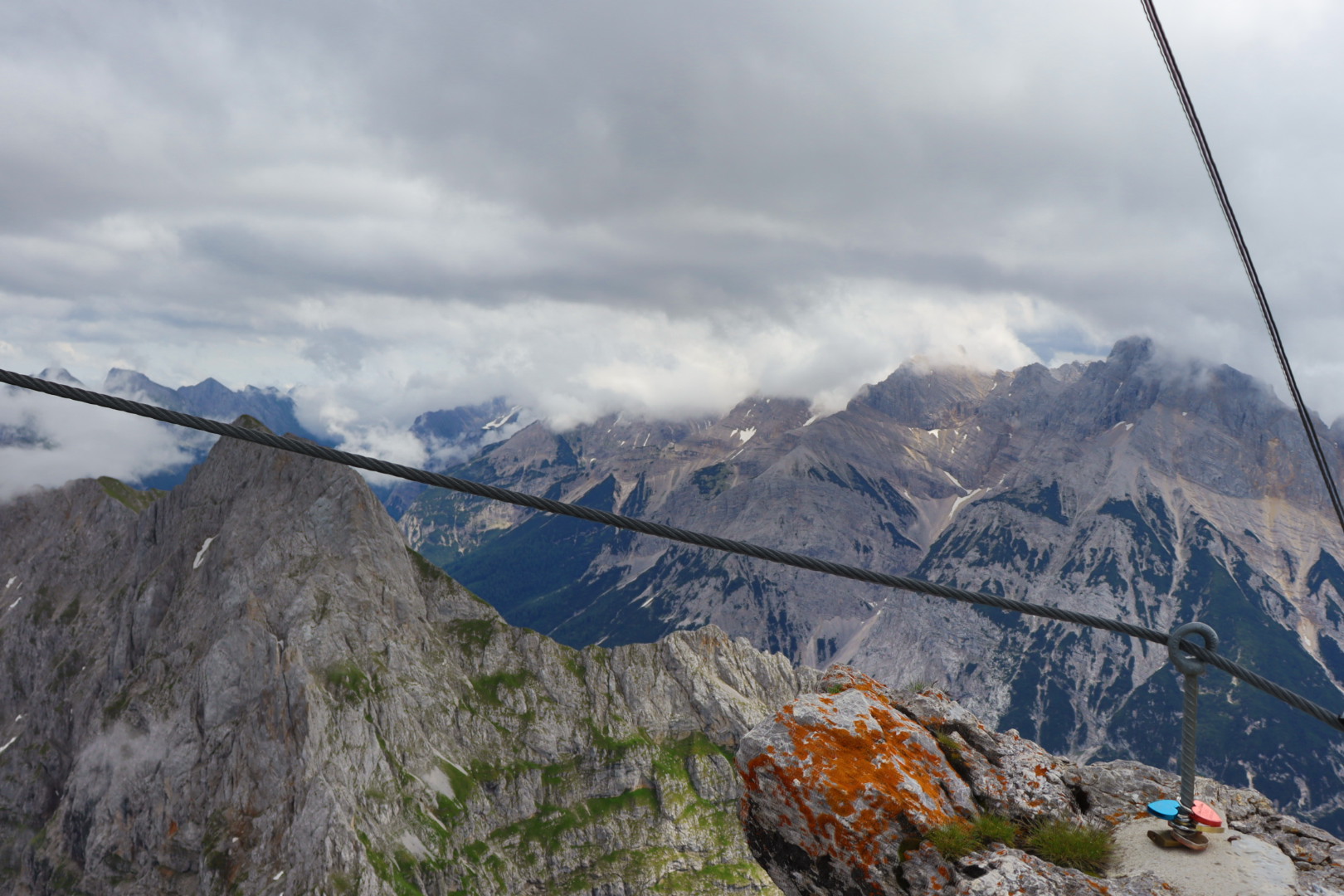
In the end I decided to push for the Karwendelspitze after examining several weather forecasts and observing the sky around, and I reached the Mittenwalder Hütte during the descent on the identical route in a dry condition more or less (I needed five hours up and down from there, and eight hours to cover the whole distance from the town center of Mittenwald which was start and end point).
The downpour occurred afterwards on the remaining six hundred meters altitude difference, what was no impediment however since the footpaths were easy to walk and I had my raingear at hand.
3. Conclusion
Having chronic diseases is no fun, but they may present themselves as a convenient excuse for remaining passive and in the comfort zone forever.
I was tired and embarrassed of being always this pathetic kid.
If that kid who once decided to do something about it now is capable of ascending Alp peaks in the middle of a heat wave in his 40s, every other healthy human being is capable of doing so too.
It is basically low-effort now, and I can’t wait to get out of the doors and into the nature on the next possible occasion.
Featured image: View up to the Soiernspitze